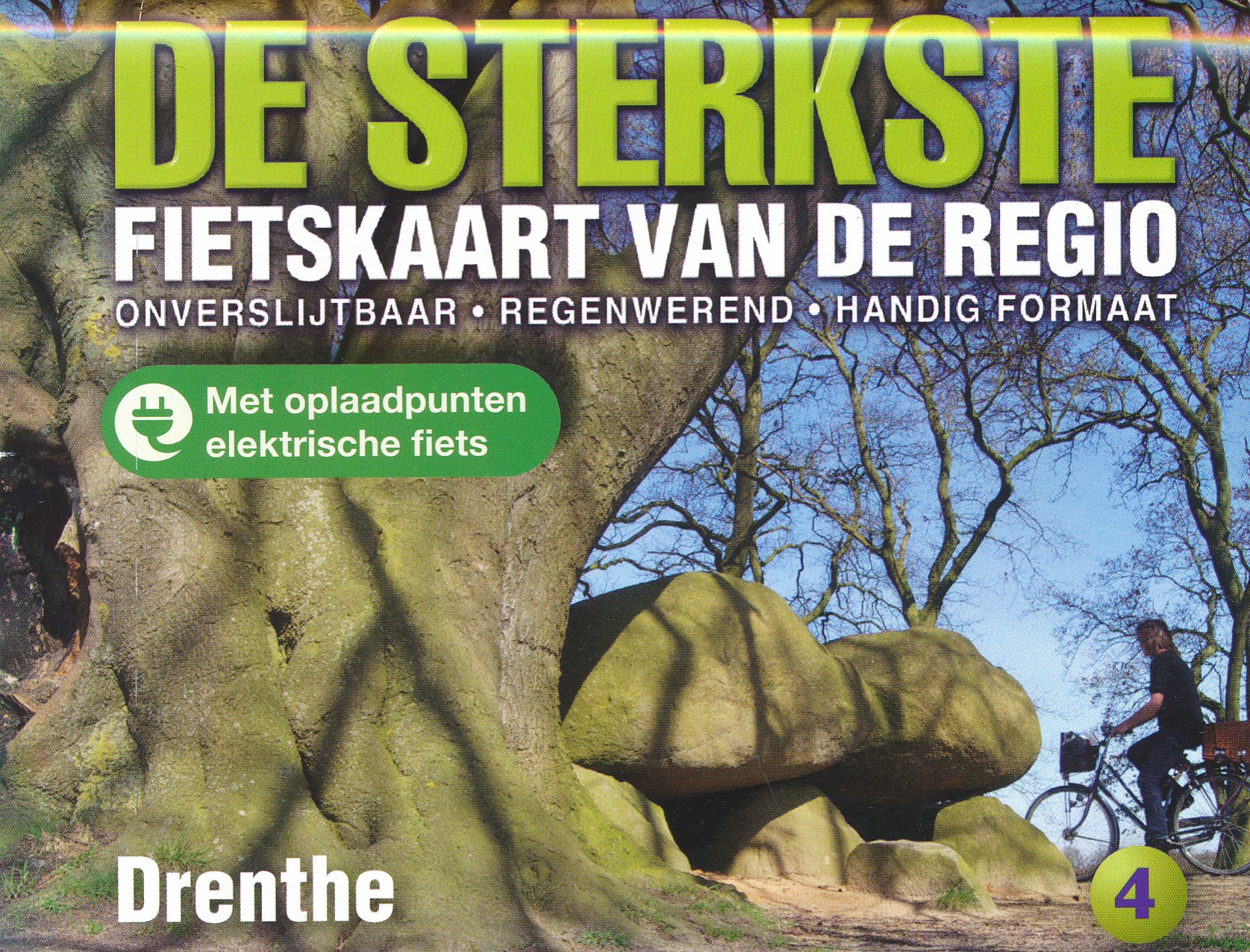
Fietskaart 04 De Sterkste van de Regio Drenthe | Buijten & Schipperheijn
De actueelste Nederlandkaart met fietsknooppunten! Een vrijwel onverwoestbare kaart bovendien, met handige informatie over campings, veerdiensten etc. Regio Drenthe.
Duidelijk kaartbeeld met royale letter
Compleet netwerk van fietspaden en kleine wegen
Alle bewegwijzerde fietsknoppunten
Landelijke wandelroutes en streekwandelingen
Webadressen van alle bed-and-breakfastlocaties en veerdiensten
Precieze locaties van monumenten
Groot formaat
Groot schaal
Compact gevouwen
Zeer klein opgevouwen formaat van water- en scheurvast papier. Handig voor op de racefiets!
An up-to-date cycle map, with wayfinding points clearly marked. This map is virtually indestructible, waterproof and tear-proof. Complete with useful information about camp sites, ferry locations, and long-distance bike routes, this map is a must-have for long and short distance cycling. Its handy pocket size means that it can fold easily into a handlebar bag.
A complete network of bicycle paths and small roads
Bicycle way-finding points
Walking and hiking paths
Web addresses of all bed-and-breakfast locations and ferry services
the precise locations of monuments clearly marked
Large format
Large scale
Compact
This map covers the region Drenthe.
€ 12,90
Verzendkosten: € 2,95Nu bestellen bij De Zwerver

