
Fietskaart Cycle Map The Bay Cycle Way | Sustrans
Het is niet een heel overzichtelijke kaart, het zijn juist blokken van een deel van de route waarop deze staat ingetekend. Daarin juist wel heel goed met handige stedenkaarten en route profielen. Eigenlijk voor de route als zodanig onmisbaar, je mist alleen het overzicht een beetje.
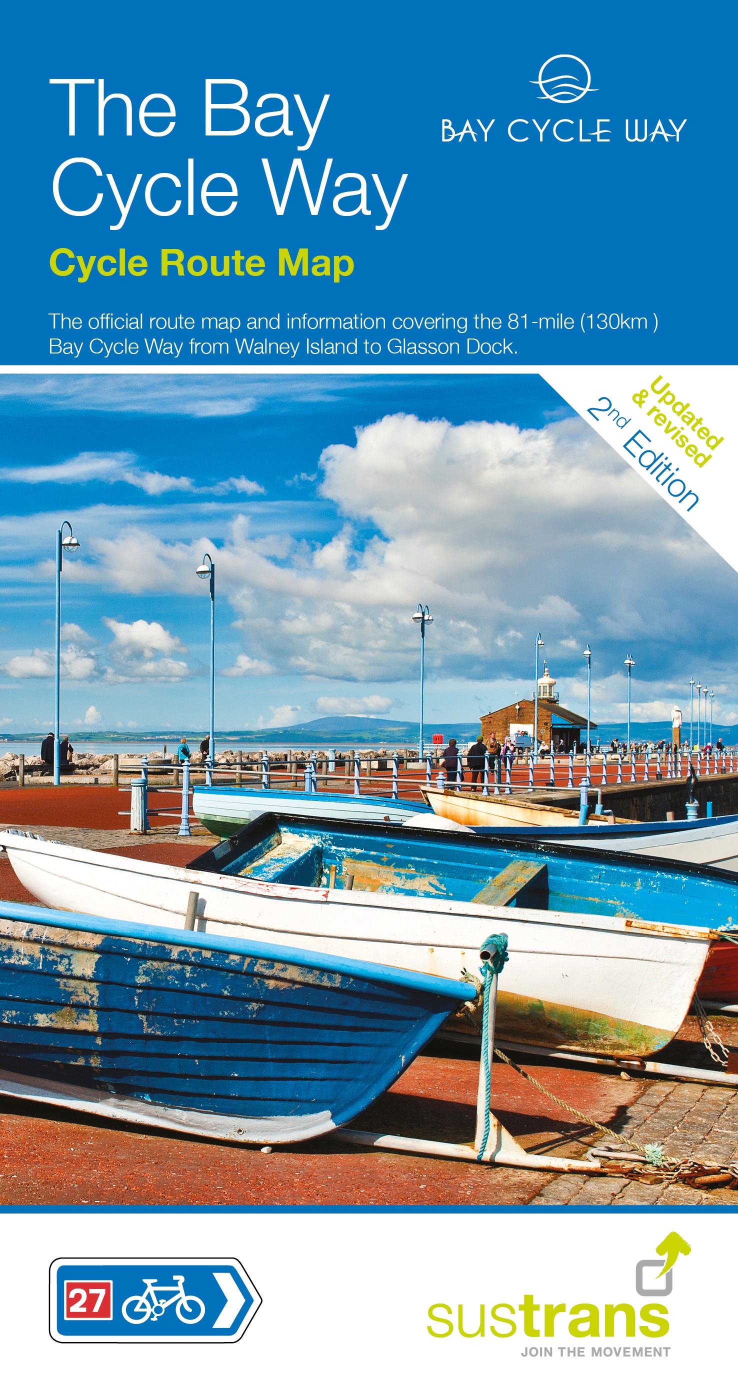
This is the official map for the Bay Cycle Way route, an 81 mile (130km) coastal cycle route around Morecambe Bay in the north west of England, and winner of the Visitor Experience Award - Lancashire Tourism Awards 2015. This relatively flat route hugs the spectacular coastline of Morecambe Bay along quiet roads, greenways, canal towpaths and promenades, offering breath taking scenery from Walney Island near Barrow right round to Glasson Dock south of Lancaster. The route looks out over the Irish Sea and is ideal for spotting terns, curlew, knot, oystercatcher and even grey seals.
This full colour map based on Ordnance Survey data shows clearly mapped cycle routes on traffic-free paths, quiet lanes and roads, with easy to read contours, route profile, and town inset maps, local Tourist Information Centres, bike shops and cycle hire details.
National Cycle Network routes covered:
National Route 700 between Walney Island near Barrow-in-Furness and Glasson Dock.
National Route 70 between Walney Island near Barrow-in-Furness and Sedgwick.
National Route 6 between Sedgwick and Galgate.
National Route 69 between Morecambe and Gressingham.
€ 14,95
Verzendkosten: € 2,95Specificaties
Merk:
n.b.
EAN:
Je bestelt bij:
De Zwerver
Categorie:
Subcategorie:
Maat:
n.v.t.
Materiaal:
n.v.t.
Levertijd:
Aantal beschikbaar:
n.b.
Verkoopprijs
€ 14,95
Prijzen vanaf:
n.v.t.
Verzendkosten:
€ 2,95
ISBN:
9781910845387
Editie:
None
Uitgever:
Sustrans
Beschrijft het volgende gebied:
Europa - Engeland - North West England
Taal:
Direct bestellen: