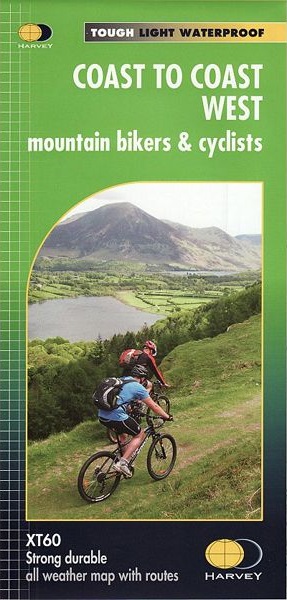
Fietskaart mountainbike Coast to Coast WEST | Harvey Maps
Deze kaart toont het westelijke deel van de route tussen St Bees/Ravenglass en Kirkby Stephen/Aysgarth via Ambleside/Windermere. Er zijn meerdere alternatieve routes ingetekend op een duidelijke topografische ondergrond.
De kaart is dubbelzijdig en gedrukt op water- en scheurvast materiaal.
The Coast to Coast route is covered in two maps. The traverse from Coast to Coast is approximately 200 miles. There is no single definitive route. These maps suggest two main alternatives, St Bees to Robin Hoods Bay (devised by
Tim Woodcock) or Ravenglass to Ravenscar (devised by Pedal North).
The XT60 new generation of tough polyethylene maps are a leap forward in technical excellence. They are tough, durable, light and 100% waterproof virtually indestructible in normal use.They are light to carry and compact not the great bulky package you get with a laminated map.
Covers from St Bees to Kirkby Stephen.
€ 28,50
Verzendkosten: € 2,95Nu bestellen bij De Zwerver

