€ 15.50
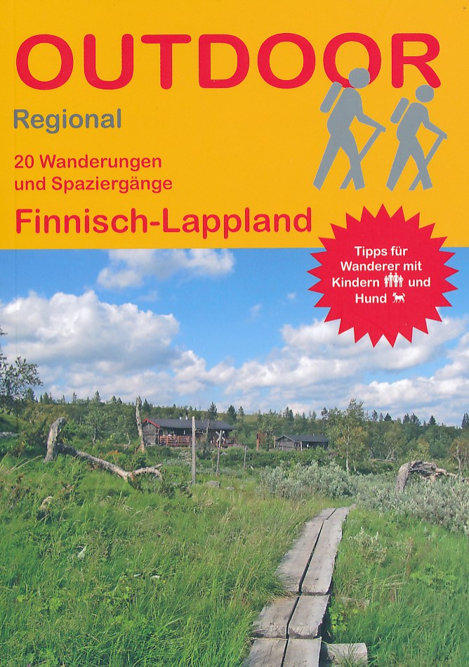
Wandelgids Finnisch-Lappland - Finland | Conrad Stein Verlag

Compacte Duitstalige wandelgids in zakformaat. Deze gids bevat kaartjes met de wandelingen erop ingetekend, hoogteprofielen, grafieken, beschrijving van de route en beknopte beschrijving van bezienswaardigheden en foto's. De wandelingen variëren van kort (een paar uur) tot maximaal een hele dag.

Finnisch-Lappland ist ein Eldorado für Wanderfreunde und groß genug, die Wahl geeigneter Routen zu erschweren. In diesem Buch hat die Autorin eine Auswahl von 20 Touren ganz unterschiedlicher Länge und Beschaffenheit aus verschiedenen Teilen der Region zusammengestellt. Die beiden längsten Strecken sind von vornherein auf mehrtägiges Wandern ausgerichtet, während die allerkürzesten Wege noch nicht einmal einen ganzen Vormittag füllen und somit auch ganz nebenbei auf der Durchreise „mitgenommen“ werden können. Neben der wilden Natur zwischen Wald und Tundra als Hauptattraktion der Region kommen bei den beschriebenen Touren auch kulturelle und geschichtliche Aspekte nicht zu kurz. Die Wegbeschreibungen werden durch praktische Infos zu Anreise- und Einkehrmöglichkeiten, Kinder- und Hundetauglichkeit und möglichen Abstechern sowie Kartenausschnitte und Höhenprofile ergänzt. GPS-Tracks können kostenlos heruntergeladen werden. 

€ 19.50
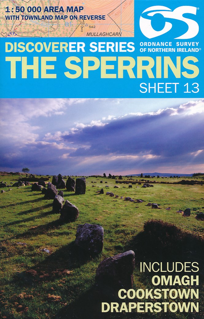
Wandelkaart 13 Discoverer The Sperrins | Ordnance Survey Northern Ireland

Zeer gedetailleerde topografische kaart met een aantal toegevoegde toeristische symbolen voor bijv. Bezienswaardigheden en campings. Met hoogtelijnen, mooi kleurgebruik.


Key Features:

Each map covers an area of 40km x 30km and is based on the Irish Grid co-ordinate system

The OSNI Discoverer Series is fully compatible with the Republic of Ireland Discovery 

Series, using the same sheet numbering system, same co-ordinate system, same data 

source in the border areas and a similar cartographic style and feature content

The OSNI Discoverer Series contains important tourist information including youth 

hostels, picnic areas, view points, camp sites and shows road classification, 

way marked walks, paths and numbered national cycle networks

Some maps include a townland map on the reverse, with an index for easy reference

Shows water features such as loughs, rivers and canals with names, as well as beaches and marshes

Easy to use legend printed in English, French and German

Relief is shown in easy to read coloured layers and includes contours at 10m intervals


Technical Information:

There are 18 sheets in the series. The sheet numbering system is on an all Ireland basis

Scale of 1:50 000 i.e. 2cms on the map represents 1km on the ground

Updated every three years

Full Irish Grid co-ordinates enabling a unique reference to be given to any feature or point

Digitally derived from OSNI’s large-scale database

All International, County and Local Government District boundaries shown

€ 13.50
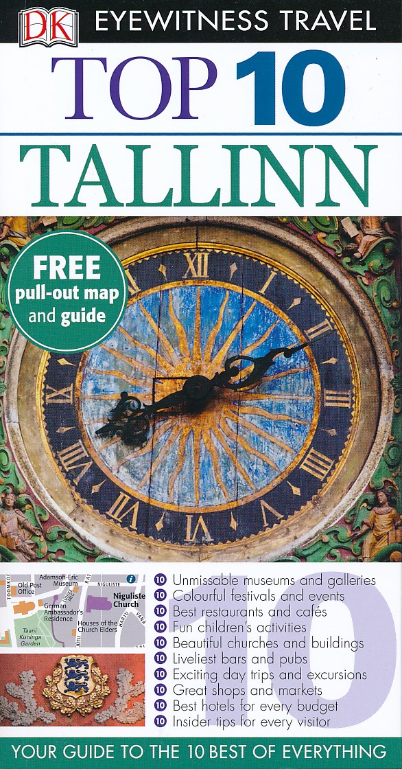
Reisgids Eyewitness Top 10 Tallinn | Dorling Kindersley

Kleine, rijk geillustreerde reisgids over Tallinn. Met alle hoogtepunten, bezienswaardigheden, activiteiten, praktische tips, eet & drink aanrader. Inclusief handige kaartjes.

DK Eyewitness Top 10 Travel Guide: Tallinn will lead you straight to the very best on offer. Whether you're looking for the things not to miss at the Top 10 sights, or want to find the best nightspots; this guide is the perfect pocket-sized companion. Rely on dozens of Top 10 lists - from the Top 10 museums to the Top 10 events and festivals - there's even a list of the Top 10 things to avoid. The guide is divided by area with restaurant reviews for each, as well as recommendations for hotels, bars and places to shop. You'll find the insider knowledge every visitor needs and explore every corner effortlessly with DK Eyewitness Top 10 Travel Guide: Tallinn and its FREE pull-out map. DK Eyewitness Top 10 Travel Guide: Tallinn - showing you what others only tell you.

€ 13.95
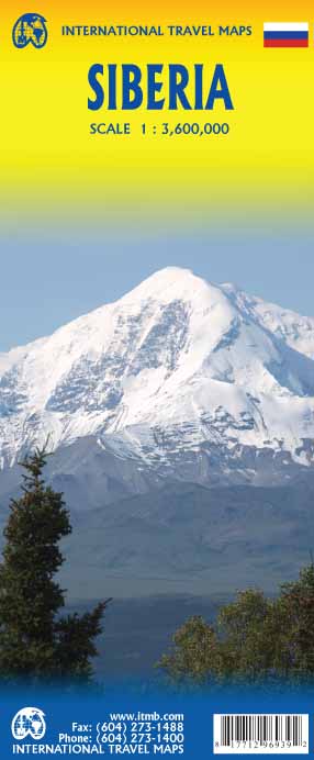
Wegenkaart - landkaart Siberia - Siberië | ITMB

Een degelijke kaart met aanduidingen van o.a. nationale parken, vliegveld, benzinepomp, dirt-roads en kleine plattegrond van hoofdstad. Als overzichtskaart goed te gebruiken.

Can you name anyone who has published a detailed map of Siberia? I cannot! This is one of the largest geographical regions on earth, comparable in magnitude to the Sahara or Gobi desert areas, or the vast Prairie regions of Canada, but it has never had a travel map. Well, now it does and the last frontier of mapping the world has been breached. The part of Russia east of the Ural Mountains is vast; there is no other word to describe the enormity of this region of grassland and tundra. Technically, it does not extend all the way to the Pacific Ocean, but it does go from the Arctic Ocean to the Chinese and Mongolian borders. This is not a part of the world well travelled, but it could become so with a good, detailed map. We start in the west at Omsk on the Irtysh River, where the northern and southern branches of the Trans-Siberian Railway line cross each other. I am afraid that most of the cities of the region would not be well known, but I notice Novosibirsk, Irkutsk, and Lake Baikal. This is wilderness with a capital W, a region waiting to be discovered by intrepid travelers. Go for it! You can actually drive across Siberia now, as well as go by train. We actually discovered a road going all the way to the Arctic Ocean!

€ 23.50
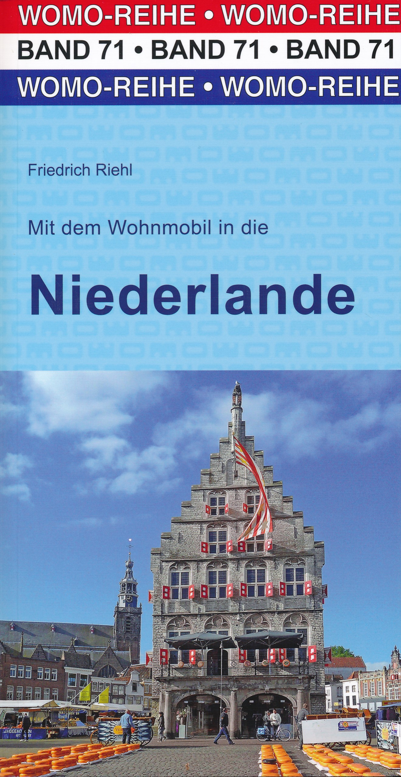
Campergids 71 Mit dem Wohnmobil in die Niederlande | WOMO verlag

Bijzonder nuttige camperreisgids van een bepaald land of streek. Deze Duitstalige campergids beschrijft aan de hand van een aantal routes de mooiste gebieden. Naast een beschrijving van de routes zelf biedt de gids handige tips voor het reizen met de camper en een groot aantal officiële en niet-officiële standplaatsen. Deze camperplaatsen worden met GPS coordinaten duidelijk weergeven en zijn daardoor goed te vinden.

Handige reisgids voor de camper. Aan de hand van een aantal routes worden camperplaatsen in Nederland beschreven met o.a. campervriendelijke plekken en beschrijvingen van allerlei bezienswaardigheden.

NATUR ERLEBEN, SPAZIERGÄNGE

Mit dem Mietkanu Tiere beobachten im Nationalpark Biesbosch bei Dordrecht, einem der größten Sumpfgebiete Europas. Spaziergänge im Tulpenparadies Keukenhof. Strandwanderungen auf der Insel Texel und an den endlosen Stränden Noordhollands. Rad fahren auf Gratisrädern oder der eigenen Fiets im Heidegebiet des Nationalparks „De Hoge Veluwe“ bei Arnhem. Besuch von Seehundstationen auf Texel und bei Groningen. Zum Greifen nah: exotische Schmetterlinge in der Freifluganlage „Papiliorama“. Einsame Touren im Nationalpark „Dwingelderveld“ mit seinen Sumpf- und Heidegebieten.


KULTURSCHÄTZE, STÄDTE

Hünengräber rund um das „Hunebed-Centrum“ in Borger. Das älteste Schiff der Welt und auf Tuchfühlung mit lieblichen Moorleichen in Assen. Rietgedeckte Häuser in romantischen Dörfern. Quirlige Großstädte wie Amsterdam, Rotterdam, Maastricht oder Den Haag. Verträumte uralte Hafenstädtchen wie Enkhuizen, Hoorn oder Volendam. Traumhaft schöne Wochenmärkte in Hansestädten wie Zwolle oder Deventer. Die ehrwürdige Universitätsstadt Leiden. Einige der bedeutendsten Kunstmuseen der Welt, wo Rembrandt, Vermeer und Van Gogh zu hause waren. Die größte noch aktive Dampfmaschine der Welt im Pumpwerk „Woudagemaal“.


WASSER ERLEBEN, BADEN

Die saubersten Strände Europas. Baden auf Texel oder in berühmten Seebädern wie Scheveningen oder Katwijk aan Zee. Als Selbstfahrer im Elektroboot durch das Lagunendorf Giethoorn oder, von Rangern begleitet, im Nationalpark „Weerribben“, einzigartiges Biotop mit Fischottern, Schlangen und anderen Raritäten. Bootsfahrten zu den Seehundbänken im Wattenmeer. Technische Spitzenleistungen wie die Deltawerke oder der Abschlussdeich.


WOMO-SERVICE

Wir beschreiben 189 Plätze zum bequemen Übernachten mit genauer Anfahrtsbeschreibung, Ausstattung und präzisen GPS-Koordinaten. Packliste. Dutzende Tipps z.B. zu Gastankstellen, Öffnungszeiten, Museen, kulinarischen Glanzlichtern wie Matjes und Käsebauernhöfen, Shopping und Unfallhilfe, Verständigung und pannenfreien Manieren

€ 13.95
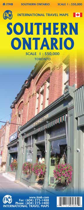
Wegenkaart - landkaart Southern Ontario | ITMB

Een degelijke kaart met aanduidingen van o.a. nationale parken, vliegveld, benzinepomp, dirt-roads en kleine plattegrond van hoofdstad. Als overzichtskaart goed te gebruiken.

The Canadian province of Ontario is intimidatingly large. It is also mostly tundra with extremely few settlements and few roads; in fact, the geographic centre of Ontario is about 1,500 kms north of the nearest road. The very first map I prepared, at age 10, was of Ontario; and it took me six weeks to trace all the lakes. My point is that the developed portion of the province is a much smaller wedge of fertile ground south of the mineral belt of the Great Canadian Shield. This double-sided map focusses on the area south of Sudbury and North Bay and expands the scale to a much more useful purpose for most users. Imagine Detroit in the southwest corner of the map, with Highway 401 joining it to London and Toronto and a branch motorway cutting across to Buffalo. Add in the Bruce Peninsula and the major routes north to cottage country and you have side one. The other side stretches from Toronto east to the Quebec border and Ottawa, with the lovely Kawarthas region for exploring. My personal favourite highway is Number 7, from Peterborough east through land settled two hundred years ago by Scottish Gaels. Perth is a perfectly preserved Scottish town of granite buildings. The map also includes a regional map of the main roads in the greater Toronto area and a separate inset of the downtown.

€ 14.95
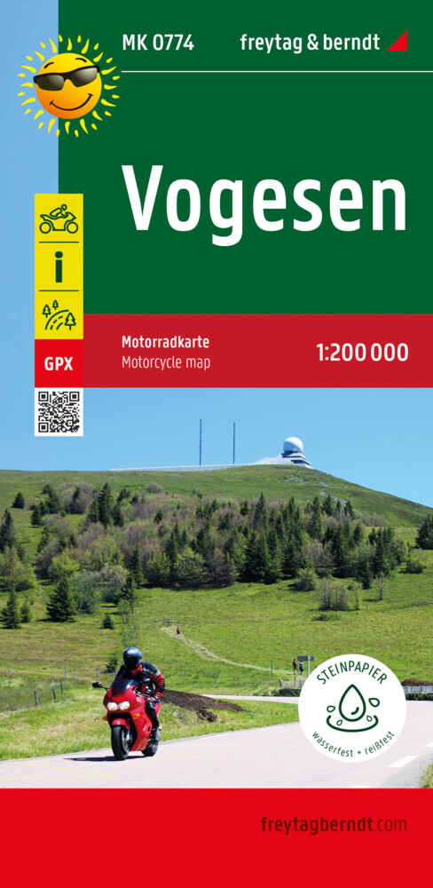
Wegenkaart - landkaart MK0774 Motorkarte Vogesen | Freytag & Berndt

Geplastificeerde motorkaart met routes, bezienswaardigheden en overnachtingsmogelijkheden.

Die Vogesen sind ein herrliches Motorradgebiet in einzigartiger Landschaft. Gespickt mit fantastischen Kurven schlängeln sich die von Motorradfahrern entwickelten Touren durch das ostfranzösische Mittelgebirge und verbinden Fahrvergnügen mit interessanten Sehenswürdigkeiten, Natur und Kultur. Genuss pur mit französischer Lebensart bieten die Panoramastraßen, Museen und endlosen Landschaften.

€ 14.99
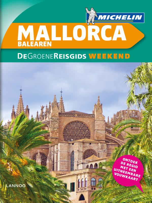
Reisgids Michelin groene gids weekend Mallorca - De Balearen | Lannoo

De 3-sterrengids voor een geslaagde citytrip - Met extra aandacht voor de must sees en must do's op de Balearen - De eilanden in 3 of 6 dagen: met een uitgewerkt reisplan - Meer dan 100 adressen om gezellig te tafelen, een glaasje te drinken, uit te gaan of te shoppen - De hoogtepunten op de Balearen, met de handige Michelin sterrenbeoordeling - Praktische tips zowel voor de voorbereiding als voor ter plaatse - Overzichtelijke stadsplattegronden op basis van de beproefde Michelincartografie - Een doordacht gebruik van kleuren en icoontjes brengt u feilloos bij de informatie die u zoekt

€ 12.95
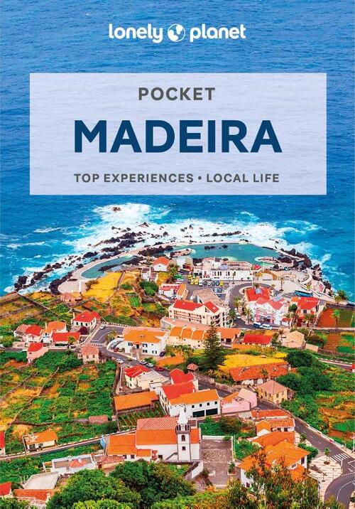
Reisgids Pocket Madeira | Lonely Planet

Een kleine uitvoering van de klassieke Lonely Planet gids: een reisgids met vooral de niet te missen hoogepunten en bezienswaardigheden, maar ook weer doorspekt met meer bijzondere tips en praktische informatie over openbaar vervoer, eten en drinken en accommodaties. Handzame uitvoering.

Lonely Planet Pocket Madeira is your passport to the most relevant, up-to-date advice on what to see and skip, and what hidden discoveries await you. Admire Se cathedral, wander awe-struck through Quinta das Cruzes Museum and Museu de Arte Sacra and hike the Levada paths; all with your trusted travel companion. Get to the heart of the best of Madeira and begin your journey now!

InsideLonely Planet Pocket Madeira:

Full-colourmaps and images throughout

Highlights and itinerarieshelp you tailor your trip to your personal needs and interests

Insider tipsto save time and money and get around like a local, avoiding crowds and trouble spots

Essential info at your fingertips- hours of operation, phone numbers, websites, transit tips, prices

Honest reviews for all budgets- eating, sleeping, sight-seeing, going out, shopping, hidden gems that most guidebooks miss

Free, convenient pull-out Madeira map(included in print version), plus 15 colour neighbourhood maps

User-friendly layoutwith helpful icons, and organised by neighbourhood to help you pick the best spots to spend your time

CoversWest Funchal, East Funchal, North Coast, East Madeira, West Madeira Mountains of the Interior and more


Abonneer op