€ 23.50
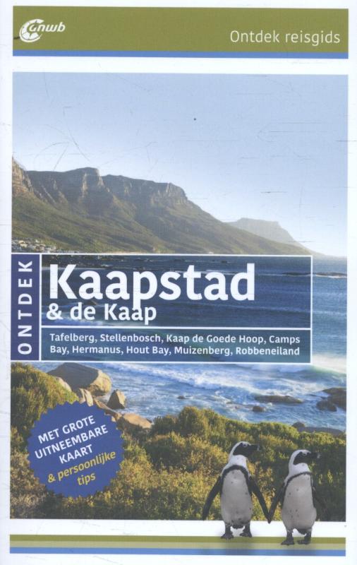
Reisgids ANWB Ontdek Kaapstad & de Kaap | ANWB Media

Een nieuwe ANWB reisgids: deze titel is een vertaling van de Duitstalige Dumont reeks. Ze staan bekend als zeer degelijke en behoorlijk complete reisgisden in compact formaat. Met zowel veel achtergrondinformatie, maar ook veel tips over bezienswaardigheden en adressen voor bijvoorbeeld eten en drinken. Het boek is ook nog voorzien van leuke foto's die het geheel tot een prettige reisgids maken.


De nieuwste ANWB reisgids voor individuele reizigers. Tips voor genieten en actief bezig zijn, rondwandelingen en excursies. Speciaal geselecteerde adressen en een actueel portret van de regio

€ 27.95
Vogelgids - Natuurgids The 125 Best Bird Watching Sites in Southeast Asia | John Beaufoy

Southeast Asia has a vast diversity of birdlife, comprising roughly one fifth of the world’s 10,000 living species, and of which over 850 are endemic, making the region a richly rewarding destination for birdwatchers. This fully illustrated guide describes the 125 best bird watching sites for viewing both common and rare species, covering Myanmar, Thailand, Lao PDR, Cambodia, Vietnam, Malaysia, Singapore, Brunei, Indonesia, the Philippines and Timor Leste.


Alongside a map of each area, detailed descriptions of each site cover the type of terrain and specific spots at which certain species are likely to be encountered. Other sections cover access and possible accommodation, as well as important indicators to conservation issues. A fact file for each site lists the nearest town; the type of habitat; key lowland, montane and winter species to be seen as well as other wildlife specialities, and the best time to visit. The book is edited by Yong Ding Li and Low Bing Wen who have brought together a team of contributors, each with in-depth experience of the sites presented.


Yong Ding Li is vice-chair of the Southeast Asian Biodiversity Society and committee member of the Nature Society (Singapore)’s bird group. He is currently pursuing a PhD in biodiversity conservation at the Australian National University. Ding Li has extensive field experience in Singapore and across Asia, and has published many research papers on birds, conservation and ecology. He also advises the IUCN SSC on Southeast Asian birds.


Low Bing Wen is a terrestrial ecologist with a special interest in birds. A keen birdwatcher with more than 20 years of field experience, he has travelled extensively throughout Southeast Asia, India, China and Australasia. He is particularly interested in the ecology and conservation of Southeast Asian birds and has published a number of papers in this field.

€ 27.95
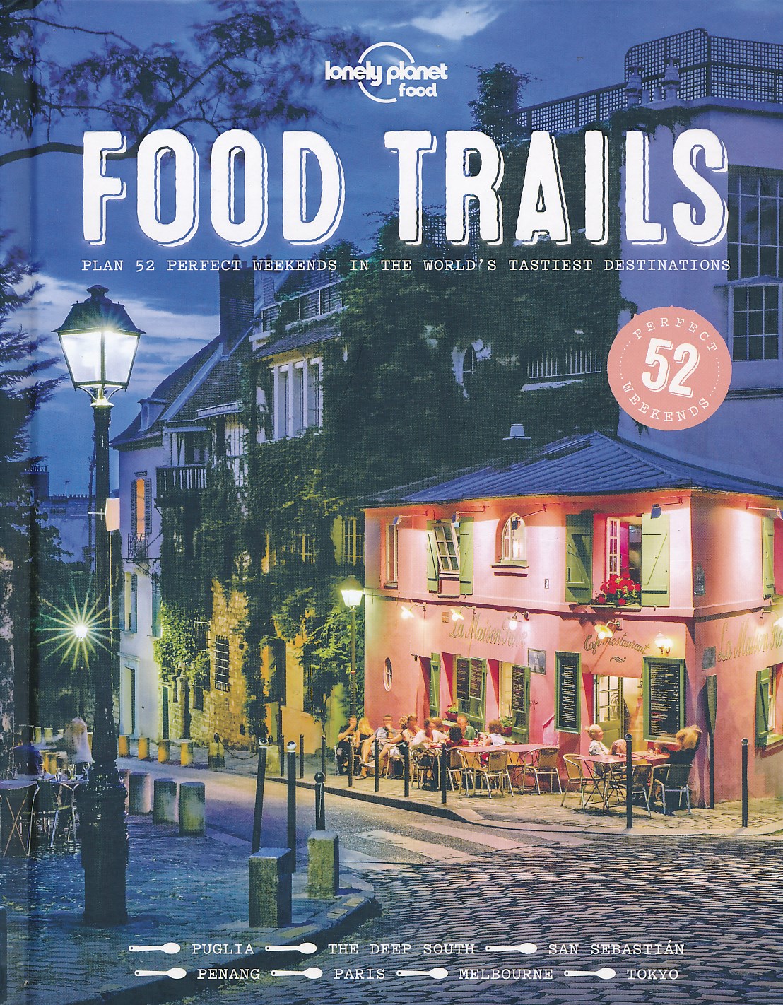
Reisgids Food Trails | Lonely Planet

Groot formaat gids in luxueuze uitvoering met hardcover kaft en mooie foto's.  Beschrijvingen van 52 perfecte weekendjes weg voor liefhebbers van overheerlijke maaltijden.


For everyone who loves travel and trying the local delicacies, this beautifully illustrated hardback is the must-have handbook to a year's worth of perfect weekends around the world for food lovers.


Featured trails include the an homage to Buenos Aires steak, cozy wintertime French Canadian cuisine, Puglia's distinctive dishes, and Parisian patisserie. Each trail is an itinerary, detailing when and where to indulge in the local specialties. There are 52 trails, each with gorgeous photography, a bespoke map, expert writing and practical details of how to get there and where to stay. This is the second in Lonely Planet's Perfect Weekends series, following the critically acclaimed Wine Trails. 


Each itinerary features about a dozen stops, including food markets, must-visit restaurants and shops  or opportunities to meet food makers or providers. Each is reviewed by Lonely Planet’s authors who have visited the place. Practical details are provided so readers can make bookings and tailor their own trips. A section at the end of each itinerary suggests places to stay and lists events that take place during the year. Great photography adds visual appeal to every itinerary, each of which has an illustrated map, showing the route hungry travellers should take.


For foodies looking for inspiration for their next weekend away, and ideas for new cuisines to taste and share, Food Trails will be the source of many happy faces and full stomachs!


€ 11.50
Wandelgids 014 Pathfinder Short Walks Snowdonia | Ordnance Survey

Wandelgids van een deel van Wales. Deze gids bevat 20 wandelingen, geschikt voor de hele familie. De bijbehorende kaarten zijn uitstekend: men heeft de topografische kaarten van Ordnance Survey gebruikt waarop de route is ingetekend. Daarnaast praktische informatie over de wandeling en wat beschrijvingen van het gebied.

The Snowdonia short walks guidebook is ideal for all the family. Containing 20 splendid short walks ranging from 2 to 6 miles, this guide is perfect for newcomers to country walking and those that prefer gentler rambling.

The mountains of Snowdonia are magnificent featuring row-upon-row of jagged peaks and ridges; However, there is more to Snowdonia than its mountains. The region offers the walker plenty of easy low-level walks through delightful valleys ranging from narrow and steep-sided to green and open.


The walks in this guide take in some of Snowdonia’s most famous features – castles, lakes, legends, forests, valleys and waterfalls. The only walk featured that does visit the top of Snowdon does so by means of the Snowdon Mountain Railway – leaving the walker free to enjoy a pleasant descent to Llanberis after enjoying the mountain view.


This book contains 20 circular walks all graded by route and difficulty, they can be enjoyed by the whole family and are the ideal companion for day trips and holidays.

€ 9.95
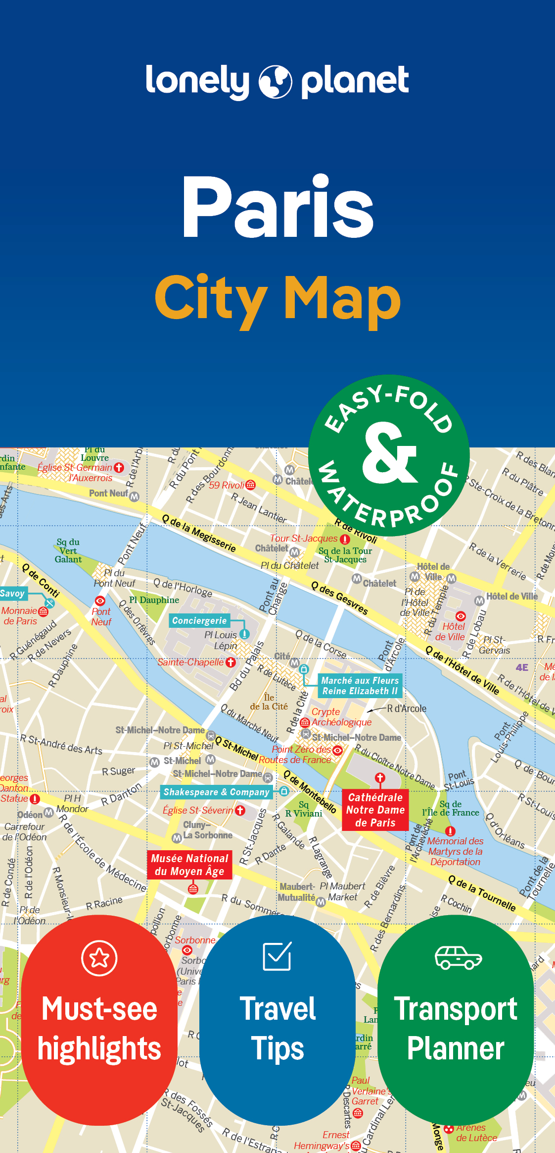
Stadsplattegrond City map Paris - Parijs | Lonely Planet

De stadsplattegronden van Lonely Planet zijn uitgevoerd op scheur- en watervast papier, zijn lichtgewicht en kennen een handig formaat. Het centrum van de stad is in heldere kleuren in beeld gebracht met straatnamen, bezienswaardigheden en symbolen voor openbaar vervoer. Op de achterzijde staat informatie over de toeristische hoogtepunten en in de meeste gevallen een schematische plattegrond van het openbaar vervoer. Met een register.

Durable and waterproof, with a handy slipcase and an easy-fold format, Lonely Planet's Paris City Map is your conveniently sized passport to travelling with ease. Get more from your map and your trip with images and information about top city attractions, walking tour routes, transport maps, itinerary suggestions, an extensive street and site index, and practical travel tips and directory. With this easy-to-use, full-colour navigation tool in your back pocket, you can truly get to the heart of Paris, so begin your journey now! Durable and waterproof Easy-fold format and convenient size Handy slipcase Full colour and easy to use Extensive street and site index Images and information about top city attractions Handy transport maps Walking tour routes Practical travel tips and directory Itinerary suggestions Covers Triangle d'Or, Faubourg St-Germain, Left Bank, Le Marais, Montmarte Looking for more extensive coverage? Check out Lonely Planet's Paris, our most comprehensive guidebook to the city, covering the top sights and most authentic offbeat experiences.


Or check out Lonely Planet's Pocket Paris, a handy-sized guide focused on the can't-miss experiences for a quick trip. About Lonely Planet: Lonely Planet is a leading travel media company, providing both inspiring and trustworthy information for every kind of traveller since 1973. Over the past four decades, we've printed over 145 million guidebooks and phrasebooks for 120 languages, and grown a dedicated, passionate global community of travellers.


You'll also find our content online, and in mobile apps, videos, 14 languages, armchair and lifestyle books, ebooks, and more, enabling you to explore every day. 'Lonely Planet guides are, quite simply, like no other.' New York Times 'Lonely Planet. It's on everyone's bookshelves; it's in every traveller's hands.

Easy-fold format and convenient size

Handy slipcase

Full colour and  easy-to-use

Extensive street and site index

Images and information about top city attractions

Handy transport maps

Practical travel tips and directory

Itinerary suggestions

Covers Triangle d’Or, Faubourg St-Germain, Left Bank, Le Marais, Montmarte


€ 9.95
Stadsplattegrond City map Hong Kong | Lonely Planet

De stadsplattegronden van Lonely Planet zijn uitgevoerd op scheur- en watervast papier, zijn lichtgewicht en kennen een handig formaat. Het centrum van de stad is in heldere kleuren in beeld gebracht met straatnamen, bezienswaardigheden en symbolen voor openbaar vervoer. Op de achterzijde staat informatie over de toeristische hoogtepunten en in de meeste gevallen een schematische plattegrond van het openbaar vervoer. Met een register.

Durable and waterproof, with a handy slipcase and an easy-fold format, Lonely Planet Hong Kong City Map is your conveniently-sized passport to traveling with ease.

Get more from your map and your trip with images and information about top city attractions, transport maps, itinerary suggestions, extensive street and site index, and practical travel tips and directory. With this easy-to-use, full colour navigation tool in your back pocket, you can truly get to the heart of Hong Kong, so begin your journey now!


Easy-fold format and convenient size

Handy slipcase

Full colour and  easy-to-use

Extensive street and site index

Images and information about top city attractions

Handy transport maps

Practical travel tips and directory

Itinerary suggestions

Covers Hung Hom, Tsim Sha Tsui, Tsim Sha Tsui East, Harbour City, Olympic City, Hoi Fu Court, Mong Kok, Yau Ma Tei, Ma Tau Wai, Ho Man Tin, King’s Park, Admiralty, Central, Sai Ying Pun, Wan Chai, Caroline Hill, Tai Hang, So Kon Po, Leighton Hill, Happy Valley, Morrison Hill, Causeway Bay, Soho, The Mid-Levels, The Peak


€ 11.95
Topografische kaart - Wandelkaart 48C Breskens | Kadaster

De meest gedetailleerde kaart die via de verkoopkanalen verkrijgbaar is. Gemaakt door de Nederlandse Topografische dienst bevat deze kaart alle topografische elementen van het landschap en geeft daarmee een nauwkeurig beeld van het terrein. De meeste kaarten hebben een kaartbeeld dat overeenkomt met 12,5 x 10 kilometer in werkelijkheid.


Naast gebruik in professionele kringen, wordt de topografische kaart veel gebruikt voor o.a. GPS gebruik (coordinaten staan keurig in een km-grid weergegeven), scouting en survivaltraining, maar ook door een steeds groter wordende groep wandelaars. Nu de toeristische wandelkaarten vreemd genoeg van steeds mindere kwaliteit worden, blijft de topografische kaart het enige alternatief.

€ 11.95
Topografische kaart - Wandelkaart 48B Middelburg | Kadaster

De meest gedetailleerde kaart die via de verkoopkanalen verkrijgbaar is. Gemaakt door de Nederlandse Topografische dienst bevat deze kaart alle topografische elementen van het landschap en geeft daarmee een nauwkeurig beeld van het terrein. De meeste kaarten hebben een kaartbeeld dat overeenkomt met 12,5 x 10 kilometer in werkelijkheid.


Naast gebruik in professionele kringen, wordt de topografische kaart veel gebruikt voor o.a. GPS gebruik (coordinaten staan keurig in een km-grid weergegeven), scouting en survivaltraining, maar ook door een steeds groter wordende groep wandelaars. Nu de toeristische wandelkaarten vreemd genoeg van steeds mindere kwaliteit worden, blijft de topografische kaart het enige alternatief.

€ 11.95
Topografische kaart - Wandelkaart 47H Cadzand | Kadaster

De meest gedetailleerde kaart die via de verkoopkanalen verkrijgbaar is. Gemaakt door de Nederlandse Topografische dienst bevat deze kaart alle topografische elementen van het landschap en geeft daarmee een nauwkeurig beeld van het terrein. De meeste kaarten hebben een kaartbeeld dat overeenkomt met 12,5 x 10 kilometer in werkelijkheid.


Naast gebruik in professionele kringen, wordt de topografische kaart veel gebruikt voor o.a. GPS gebruik (coordinaten staan keurig in een km-grid weergegeven), scouting en survivaltraining, maar ook door een steeds groter wordende groep wandelaars. Nu de toeristische wandelkaarten vreemd genoeg van steeds mindere kwaliteit worden, blijft de topografische kaart het enige alternatief.

€ 11.95
Topografische kaart - Wandelkaart 42D Vrouwenpolder | Kadaster

De meest gedetailleerde kaart die via de verkoopkanalen verkrijgbaar is. Gemaakt door de Nederlandse Topografische dienst bevat deze kaart alle topografische elementen van het landschap en geeft daarmee een nauwkeurig beeld van het terrein. De meeste kaarten hebben een kaartbeeld dat overeenkomt met 12,5 x 10 kilometer in werkelijkheid.


Naast gebruik in professionele kringen, wordt de topografische kaart veel gebruikt voor o.a. GPS gebruik (coordinaten staan keurig in een km-grid weergegeven), scouting en survivaltraining, maar ook door een steeds groter wordende groep wandelaars. Nu de toeristische wandelkaarten vreemd genoeg van steeds mindere kwaliteit worden, blijft de topografische kaart het enige alternatief.

Abonneer op