€ 12.95
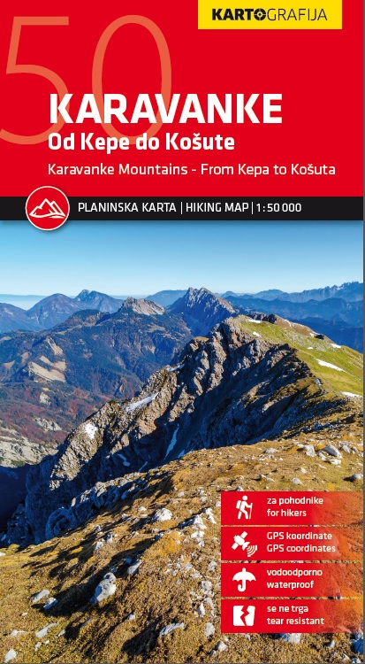
Wandelkaart Karavanke, van Kepa tot Kosuta | Kartografija

Kaart van de Karawanken in de oostelijke Alpen op de grens van Oostenrijk en Slovenië. Schaal 1:50.000. Water- en scheurvast. Met GPS-coördinaten.


Goede dubbelzijdige wandelkaart van een deel van Slovenie waarop de belangrijkste informatie goed leesbaar en ingetekend is: gemarkeerde wandelpaden en doorgaande lange routes en hoogtelijnen met een interval van 20 meter, maar ook hutten en campings. Daarnaast toeristische informatie als musea, bezienswaardigheden en zelfs details als bushaltes. Achterop de kaart staat een lijst met de hutten in deze regio. In een bijgevoegd gidsje kort ook nog de toeristische hoogtepunten en een kleine beschrijving van enkele wandel- en fietsroutes. 

€ 16.95
Wandelkaart - Fietskaart Primorska - Trieste | Kartografija

Wandel- en fietskaart van Primorska, Obala en Triest met de  op schaal 1: 40.000, beschrijving in het Engels en Sloveens.


Goede dubbelzijdige wandelkaart van een deel van Slovenie waarop de belangrijkste informatie goed leesbaar en ingetekend is: gemarkeerde wandelpaden en doorgaande lange routes en hoogtelijnen met een interval van 20 meter, maar ook hutten en campings. Daarnaast toeristische informatie als musea, bezienswaardigheden en zelfs details als bushaltes. Achterop de kaart staat een lijst met de hutten in deze regio. In een bijgevoegd gidsje kort ook nog de toeristische hoogtepunten en een kleine beschrijving van enkele wandel- en fietsroutes. 

€ 11.95
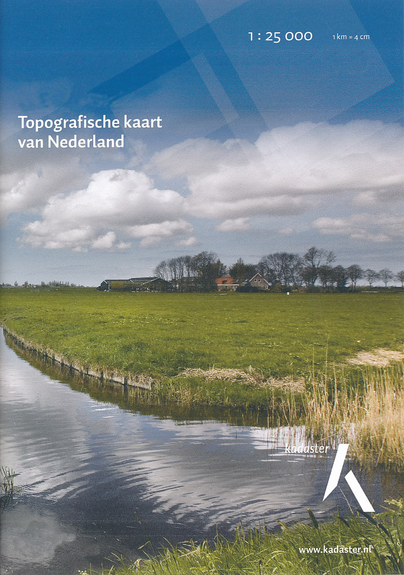
Topografische kaart - Wandelkaart 3H Eemshaven | Kadaster

De meest gedetailleerde kaart die via de verkoopkanalen verkrijgbaar is. Gemaakt door de Nederlandse Topografische dienst bevat deze kaart alle topografische elementen van het landschap en geeft daarmee een nauwkeurig beeld van het terrein. De meeste kaarten hebben een kaartbeeld dat overeenkomt met 12,5 x 10 kilometer in werkelijkheid.


Naast gebruik in professionele kringen, wordt de topografische kaart veel gebruikt voor o.a. GPS gebruik (coordinaten staan keurig in een km-grid weergegeven), scouting en survivaltraining, maar ook door een steeds groter wordende groep wandelaars. Nu de toeristische wandelkaarten vreemd genoeg van steeds mindere kwaliteit worden, blijft de topografische kaart het enige alternatief


Eemshaven Spijk Bierum

€ 20.95
Wandelgids Thames Path | Aurum Press

Een mooie wandelgids met een goede beschrijving en hele duidelijke kaarten met ingetekende route.

The official guide to the riverside path from its Gloucestershire source all the way to the outskirts of London. With the London Thames now covered by Aurum's separate new guide, a companion volume can concentrate on the appeal of the full 150 miles of the country Thames, which winds all the way from its Gloucestershire source near Cirencester to Hampton Court on the edge of the London conurbation.

This new edition has a wealth of new information about the many sights and places of interest along the way, from Wittenham Clumps that Paul Nash used to paint to Heston Blumenthal's Fat Duck restaurant at Bray, as well as full walking tours of historic Oxford and Windsor & Eton. There are sections on Stanley Spencer at Cookham, and Cliveden and the Cliveden Set, as well as on handsome and interesting towns like Henley and Abingdon. There is also a new section on the wildlife and natural history of the Thames, and plenty of extra information on transport links to and from individual sections.

€ 19.99
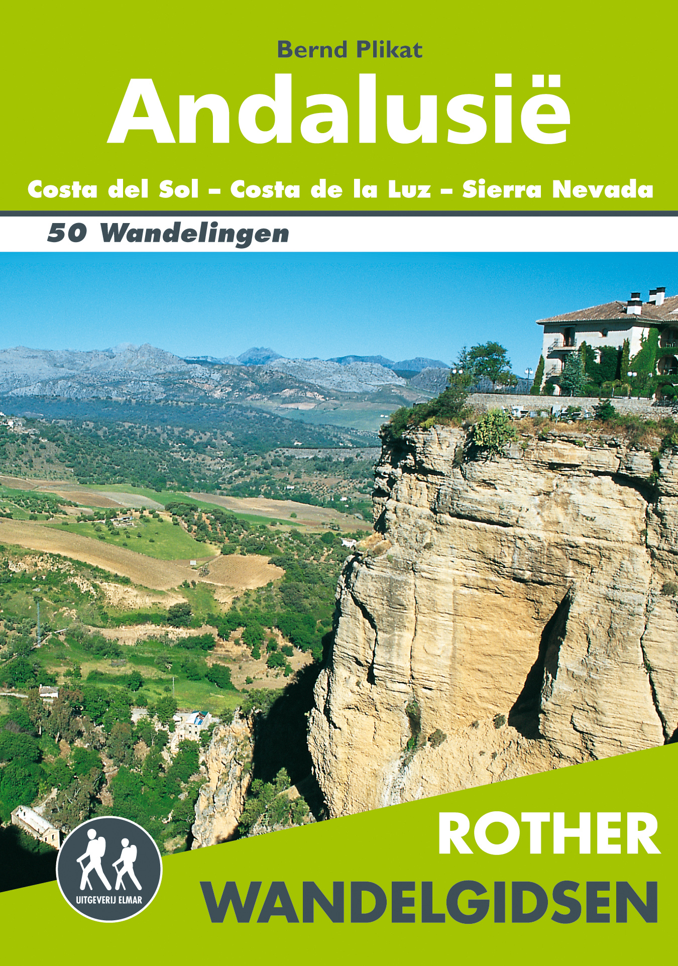
Wandelgids Andalusië | Uitgeverij Elmar

De Rother wandelgids Andalusië beschrijft 50 wandelingen in de regio's Costa del Sol, Costa de la Luz en Sierra Nevada.


Zoals gebruikelijk zijn er verschillende wandelingen voor beginnende en ervaren wandelaars en is er onmisbare informatie over de streek, de bezienswaardigheden en recreatiemogelijkheden.


De betrouwbare routebeschrijvingen, gedetailleerde kaarten en hoogteprofielen zorgen voor een onvergetelijke wandelervaring.


Aanbevolen wandelkaarten bij deze gids (Let op: dekken de wandelingen grotendeels, enkele wandelingen staan niet op kaart):


Costa de la Luz en kurkeikenstreek + Het achterland van de westelijke en centrale Costa del Sol

Wandelkaart Los Alcornocales Parque Natural | Editorial Penibetica 1:40.000

Wandelkaart Sierra de Grazalema | Editorial Penibetica 1: 40.000

Wandelkaart Sierra de las Nieves | Editorial Penibetica !;25.000


Oostelijke Costa del Sol: Sierras de Tejeda y Almijara

Wandelkaart Parque Natural Sierras de Tejeda, Almijara y Alhama | Editorial Piolet 1:25.000

of

Wandelkaart Sierras Tejeda, Almijara & Alhama | Editorial Penibetica 1:40.000


Sierra Nevada en Alpujarras

Wandelkaart NP Sierra Nevada met Alpujarras | Editorial Penibetica 1:40.000

of

Wandelkaart Sierra Nevada en Alpujarras | Editorial Alpina 1:40.000


Sierra de Baza, Sierra de los Filabres en Sierra de Gábor

Geen wandelkaarten beschikbaar van dit gebied


Cabo de Gata

Wandelkaart Cabo de Gata - Nijar | Editorial Alpina


Let op: er is enige verwarring omtrent het jaartal van deze Nederlandse wandelgidsen van uitgever Elmar. Dit is een vertaling van de Duitse uitgever Rother maar daarna NIET bijgewerkt. De datum die wij vermelden is het moment van vertaling; er zijn andere – meer recente jaartallen – in omloop maar dat is de datum van een nieuwe druk ZONDER aanpassingen. Wilt u de meest recente wandelgids van dit gebied van deze uitgever: kies dan de Duitstalige versie van uitgever Rother. Deze zijn recent en WEL bijgewerkt. 


€ 22.50
Fietskaart 3/8 Fyn - Funen (Denemarken) | Scanmaps

Eindelijk een fietskaartenserie van Denemarken. Gedrukt op scheur- en watervastpapier, met een schaal van 1:100.000, zijn het zeer overzichtelijke fietskaarten. De basis is de 1:100.000 topografische kaart waarop de nationale, regionale en lokale fietsroutes op zijn ingetekend. Op de achterzijde staat informatie over fietstransport met het openbaar vervoer. Gewone fietspaden en toeristische informatie zoals campings en fietsenmakers staan er echter niet op vermeld. 


Deze kaarten hebben dan ook vooral zin voor de bestaande fietsroutes. Echter aangezien er verder niet veel is aan detailkaarten met dit soort informatie, zijn deze kaarten wel degelijk bijzonder nuttig voor de fietser in Denemarken.


Cycle map of Funen


Go on a cycling trip on Funen and the famous South Funen archipelago, and get inspired for exciting trips with the cycling map.


For a better overview and planning of your bicycle trip through Denmark, a full map of Denmark in the scale 1:500.000 is avaible here: Cycle map of Denmark & Copenhagen


The map contains:


European cycle route: 10 (EuroVelo)


National cycle routes: 6 and 8


Regional cycle routes: Herregårdsruten, 2, 31, 32, 33, 35, 37, 38, 40, 41, 42, 45, 51, 55, 65, 71, 75, 79, 80, 81, 82, 83, 90, 91 and 92


Local cycle routes L1 Ringe-Korinth, L2 Odense Å, L3 Langesøstien, L4 Tietgen, L5 Blangsted, L6 Hestehave, L7 Bellinge, L8 Søhus, L9 Stige, L10 Ryds Å, and L11 Næsby


On the map there are four city maps: Odense, Svendborg, Middelfart and Nyborg.


The new Herregårdsruten (Manor Route) is included in this edition, the route takes you all the way around Funen, and out to Ærø and Langeland, where it passes the many manors, estates and castles.


General information about overnight stays on bikes, bringing bikes on trains etc. Information and mapped locations for grocery stores, bike shops & mechanics, national attractions, tourist offices, campgrounds, tent sites, hostels, beaches and bike-friendly churches.


The legend and information is in Danish, German and English.


With map data from the Danish Agency for Data Supply and Efficiency, the Danish Road Directorate and with expert knowledge from consultants, we have put together a detailed cycling map of the highest quality.


The map is printed on the durable and waterproof stone paper - a material that can be easily folded and is completely unaffected by moisture and rain. The matt coating significantly improves the legibility of the map, unlike plastic-coated maps made of ordinary paper. Rock paper is a product based on lime and because it has no fibres, unlike ordinary paper, it can be folded without the same wear and tear. In addition, rock paper does not need to be bleached in production and does not require water unlike traditional paper.

 

€ 13.95
Spoorwegenkaart Japan South railway & road | ITMB

Een degelijke kaart met aanduidingen van o.a. nationale parken, vliegveld, benzinepomp, dirt-roads en kleine plattegronden van hoofdstad. Als overzichtskaart goed te gebruiken.

This is a new title for ITMB. Japan divides nicely into north of Tokyo and south. This map covers the popular Tokyo to Osaka Route, and west to Hiroshima and south all the way to Kagoshima, the end of the Shinkansen rail network. Japan is seen as being a smallish country, but is densely populated, so having a map at this scale allows is to open up the information and show its many attractions more easily. The map also includes insets of the most southerly island chains of Okinawa, Senkaku and Sakishima, as wall as city insets of Kyoto, Nara and Osaka.


Legend Includes:

Roads by classification, Rivers and Lakes, National Park, Airports, Points of Interests, Mining, Highways, Main Roads, Zoos, Fishing, , and much more...

€ 17.50
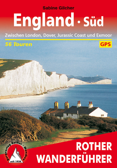
Wandelgids England Süd - Engeland Zuid | Rother Bergverlag

Uitstekende wandelgids met een groot aantal dagtochten in dal en hooggebergte. Met praktische informatie en beperkt kaartmateriaal! Wandelingen in verschillende zwaarte weergegeven in rood/blauw/zwart

England at its best! Die mystischen Steingiganten von Stonehenge, der sagenumwobene Glastonbury Tor, die weißen Kreidefelsen von Dover – das sind nur einige der Highlights, die es in Englands Süden zu entdecken gibt. Mit dem Rother Wanderführer England Süd lassen sich wildromantische Landschaften, dramatische Küstenabschnitte, grandiose Gärten und Parks erkunden.


56 abwechslungsreiche Touren bieten ein spannendes Programm für Familien, Genusswanderer und Kulturhungrige: Malerische Spaziergänge oder längere Tagestouren führen durch Kent, den »Garten Englands«, oder über die Isle of Wight. Erwandern Sie Dorset mit der spektakulären Jurassic Coast, Wiltshire mit seinen prähistorischen Zeugnissen oder das einsame Exmoor im äußersten Westen von Somerset. Mittelalterliche Burgen, prächtige Herrenhäuser und reetgedeckte Cottages laden zur Fotopause ein. Und wer wollte nicht in einem der hübschen Dörfer mit den urigen Pubs einen kleinen Zwischenstopp einlegen?


Exakte Wegbeschreibungen, aussagekräftige Höhenprofile, Wanderkärtchen und GPS-Tracks zum Download machen jede Wanderung leicht nachvollziehbar. Die vielen zusätzlichen Ausflugstipps lassen garantiert keine Langeweile aufkommen.

€ 20.95
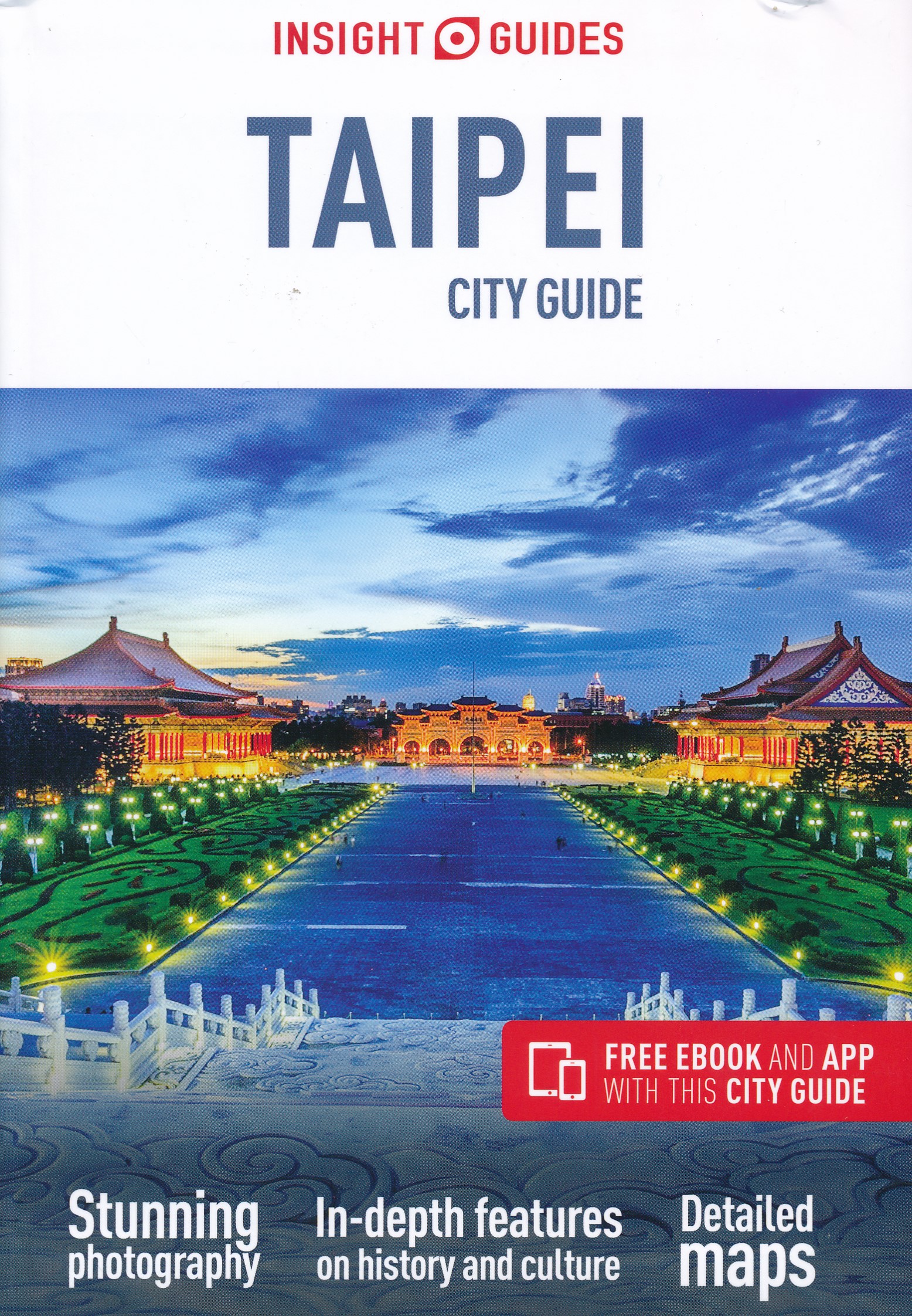
Reisgids Taipei City Guide | Insight Guides

Dé gids als het gaat om achtergrondinformatie en prachtige foto’s. De Insight Guide is niet alleen een reisgids het is tevens een leuk boek om in weg te dromen en is ook voor thuisblijvers interessante lectuur, geschreven door een team van auteurs, van wie de meesten zelf woonachtig zijn in het land waarover de gids handelt. Uitvoerige geschiedschrijving en hedendaagse journalistiek, geillustreerd met sublieme foto's, informatie over vervoer, accommodatie, restaurants, reisbenodigdheden, toeristische tips, uitgaan, sport, nuttige adressen en talloze andere wetenswaardigheden. De Insight Guide stedengids is hierdoor niet alleen een bron van informatie en inspiratie, maar ook een bijzonder praktische reisgids.. Kwalitatief van een hoog niveau! Engels.

Taiwanese culture preserves the best of ancient traditions, while embracing the newest in high-tech modernity, and nowhere is this better exemplified than in the country's dynamic capital, Taipei. Whether you want to admire Taipei 101's architecture, discover precious Chinese artefacts at the National Palace Museum or indulge in feast of street food at Shilin Nightmarket, Insight City Guide Taipei will ensure that you have the quintessential Taipei experience. Features by local writers delve into topics including the arts sc...ene, Taipei residents' love of sports and shopping, and traditional remedies, while evocative accounts of the city's districts bring Taipei to life, from Ximending's youth culture and Datong's Chinese heritage to the east's skyscrapers juxtaposed with hillside tea plantations. Full-colour photography and maps help you navigate with ease and our detailed Travel Tips give you all the practical information you need to plan your trip. Discover this fascinating city with Insight City Guide Taipei.

€ 14.95
Reisgids Culture Smart! Myanmar - Burma - Birma - | Kuperard

De Cultuur Bewust!-gids geeft toeristen en zakenlieden belangrijke informatie met betrekking tot de cultuur van alledag in het land van bestemming. Anders dan in de gebruikelijke reisgidsen wordt de lezer in deze reeks bijgespijkerd op het gebied van omgangsvormen, normen en waarden, hoe zich te gedragen en wat verwacht mag worden op zakelijk en sociaal gebied. Het zijn beknopte zakformaatgidsen met interessante wetenswaardigheden over het dagelijks leven. Een must voor iedereen die naar het buitenland gaat voor vakantie, studie of werk.

Myanmar, as Burma is now known, is strategically situated between the world's two most populous nations--China and India--and its distinctive ancient culture shares some traditions with both countries. Hidden away from the eyes of the world for half a century by its military rulers' policy of self-isolation, "the Burmese Way to Socialism," with a new democratic parliament and civilian government Myanmar is undergoing important changes as it approaches its next elections in 2015. Its most famous political detainee, Aung San Suu Kyi, the Nobel peace laureate, has been released after nearly twenty years of house arrest. The present administration faces teething problems in politics, governance, education, its dealings with over a hundred ethnic groups, and its society. At the same time, progress has been made with the emergence of a free press, the release of political prisoners, and the reemergence of the long-lost voice of the man and woman on the street. The country is opening up to tourism and business.
 
The Burmese people are by nature friendly and polite, and are traditionally easy-going and peaceable. Most are devout Buddhists, and there are pagodas and meditation centers all over the country. They are also great lovers of fun, entertainments, and festivals--in fact, there is a festival for each Myanmar calendar month
 
Culture Smart! Myanmar provides much needed information about a country taking its first steps to becoming an important player on the world stage. It offers invaluable insights into the inner life of the Burmese, their history, traditions, attitudes, and work ethic, and gives practical advice on what to expect and how to behave in different circumstances. While their hosts may be naturally polite and accommodating, foreign visitors will have to go through a steep learning curve to understand the dos and don'ts of Burmese social customs. This book serves as an essential guide for Western tourists and entrepreneurs who are interested in visiting or doing business in this beautiful, enigmatic, and resource-rich country.

Abonneer op