€ 10.25
Fietskaart - Wegenkaart - landkaart 13 Limassol Cyprus | Orama

Goede wegenkaart van een deel van Cyprus. Waar beschikbaar worden hotels en campings getoond en met symbolen worden allerhande toeristische symbolen aangeduid als historische plaatsen, kloosters, museas etc.  Tweetalig. Op elke kaart staat van de belangrijkste steden een centrumkaart en er is een behoorlijk uitgebreid register (wel kleine letters!) Kleurgebruik is duidelijk, maar een beetje flets, waardoor hoogteverschillen niet echt goed uitkomen. 

€ 22.50
Reisgids Kreta - Crete | Lonely Planet

De perfecte reisgids voor zowel de georganiseerde als de zelfstandige reiziger. Naast een algemene inleiding van het land / streek vol met praktische informatie over hoe je er het beste kunt reizen: slapen, eten, vervoer, excursies ... alles kun je er in vinden. Engelstalig. Lonely Planet.

Crete is a tapestry of splendid beaches, ancient treasures and landscapes, weaving in vibrant cities and dreamy villages, where locals share their traditions, wonderful cuisine and generous spirit. Lonely Planet is your passport to Crete, with amazing travel experiences and the best planning advice.


Rub shoulders with the ghosts of the Minoans at the Palace of Knossos, explore the labyrinthine lanes of Rethymno’s Old Quarter, and relax in the lakeside cafes of Agios Nikolaos; all with your trusted travel companion. Get to the heart of Crete and begin your journey now!


Inside Lonely Planet’s Crete Travel Guide:


Full-colour maps and images throughout

Highlights and itineraries help you tailor your trip to your personal needs and interests

Insider tips to save time and money and get around like a local, avoiding crowds and trouble spots

Honest review for all budgets - eating, sleeping, sight-seeing, going out, shopping, hidden gems that most guidebooks miss

Cultural insights give you a richer, more rewarding travel experience - History, The Cretan Way of Life, Minoan Art & Culture, The Arts, Nature & Wildlife

Coverage includes: Hania, Rethymno Province, Iraklio Province, Lasithi Province and more

€ 16.99
Reisgids Historische Route Verdun | Uitgeverij Elmar

Nergens ter wereld wordt de waanzin van de oorlog zo duidelijk als op het slagveld van Verdun, waar tijdens de Eerste Wereldoorlog in nog geen jaar tijd bijna een miljoen soldaten sneuvelden, terwijl er van enige terreinwinst nauwelijks sprake was.


Verdun betekende een ommekeer in de oorlog: de Fransen hervonden hun zelfvertrouwen. De Franse regering was zich hiervan zeer bewust en riep het gebied rond Verdun uit tot nationaal monument en liet het gebied in de staat zoals het was na afloop van de slag. Dit maakt dat de hedendaagse reiziger een goede indruk kan krijgen van de situatie zoals die was in 1916.


Deze gids is daarbij een uitstekend hulpmiddel. Geen historische plek wordt hierbij overgeslagen en daarbij krijgt de lezer ook nog een uitleg, met veel oog voor het bijzondere detail, over de gebeurtenissen tijdens dat dramatische jaar.

€ 13.95
Wegenkaart - landkaart Patagonië en Zuid Chili - Patagonia - Chile south | ITMB

Een degelijke wegenkaart met aanduidingen van o.a. nationale parken, vliegveld, benzinepomp, dirt-roads. Als overzichtskaart goed te gebruiken.


Zuid Chili schaal 1:1.770.000

Patagonië schaal 1:2.200.000


This is a brand new map for ITMB and concentrates on the fast-changing southern portion of Chile (known as the Austral) and Patagonia, which technically only exists in southern Argentina, but in reality can't be shown easily on a map without including the same area in Chile. Thus, one side concentrates on Chile south of Los Angeles (yes, there's one there too!) in two long strip maps that go all the way to Cape Horn (or Hoorn, in Dutch) south of Tierra del Fuego. Although it has nothing to do with this part of Chile, we have also included the main portion of touristic Easter Island, an inset of what is popularly referred to as Robinson Crusoe Island (Alexander Selkirk was marooned here for a number of years, and is the real-life model of the fictional Crusoe) and an inset map of Ushuaia. The other side shows all of Chile from Temuco south, and all of Argentina from Neuquen and Bahia Blanca south, with the Falklands correctly positioned in the South Atlantic and, no Las Malvinos non sont nuestros!


Legend Includes:

Roads by classification,Lakes, Rivers, Walterfalls, National Parks, Caves, Mines, Bridges, Seaports, Volcanoes, Towers, Beaches and much more

€ 9.50
Woordenboek Phrasebook & Dictionary Italian - Italiaans | Lonely Planet

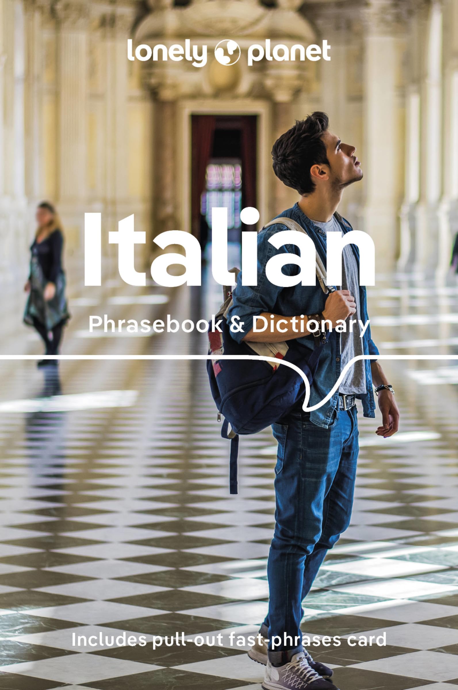
Hanzaam en volledig taalgidsje Engels - Italiaans van Lonely planet waar alles overzichtelijk in staat wat je nodig hebt.

Lonely Planet Italian Phrasebook & Dictionary is your handy passport to culturally enriching travels with the most relevant and useful Italian phrases and vocabulary for all your travel needs. Order an espresso like a local, ask shop keepers about the latest fashions and bargain for fresh produce at the market; all with your trusted travel companion. With language tools in your back pocket, you can truly get to the heart of wherever you go, so begin your journey now!


Get More From Your Trip with Easy-to-Find Phrases for Every Travel Situation!


Feel at ease with essential tips on culture, manners, idioms and multiple meanings

Order with confidence, explain food allergies, and try new foods with the menu decoder

Save time and hassles with vital phrases at your fingertips

Never get stuck for words with the 3500-word two-way, quick-reference dictionary

Be prepared for both common and emergency travel situations with practical phrases and terminology

Meet friends with conversation starter phrases

Get your message across with easy-to-use pronunciation guides

Inside Lonely Planet Italian Phrasebook & Dictionary:


Full-colour throughout

User-friendly layout organised by travel scenario categories

Survival phrases inside front cover for at-a-glance on-the-fly cues

Convenient features

5 Phrases to Learn Before You Go

10 Ways to Start a Sentence

10 Phrases to Sound like a Local

Listen For - phrases you may hear

Look For - phrases you may see on signs

Shortcuts - easy-to-remember alternatives to the full phrases

Q &A - suggested answers to questions asked

Covers

Basics - time, dates, numbers, amounts, pronunciation, reading tips, grammar rules

Practical - travel with kids, disabled travellers, sightseeing, business, banking, post office, internet, phones, repairs, bargaining, accommodation, directions, border crossing, transport

Social - meeting people, interests, feelings, opinions, going out, romance, culture, activities, weather

Safe Travel - emergencies, police, doctor, chemist, dentist, symptoms, conditions

Food - ordering, at the market, at the bar, dishes, ingredients


€ 19.99
Reisgids Trotter Berlijn | Lannoo

Veel aandacht voor praktische informatie als hotels en restaurants, maar ook beschrijvingen van bezienswaardigheden. Handig zijn de vele plattegronden: verrassend en verfrissend geschreven!

Tussen historisch en hedendaags. Alle troeven van Trotter toegepast op de wereldsteden. De uitvouwbare kleurenplattegrond maakt je meteen wegwijs. De stad wordt wijk per wijk besproken, telkens met de klassieke indeling: slapen, eten, iets drinken, uitgaan, wat is er te zien ...? Trotter City is onmisbaar voor een geslaagde citytrip: met de toeristische highlights en de minder bekende tips verken je elk hoekje van de stad.

€ 19.99
Reisgids Trotter Rome | Lannoo

Alle troeven van Trotter toegepast op de wereldsteden. 


De uitvouwbare kleurenplattegrond maakt je meteen wegwijs. 


De stad wordt wijk per wijk besproken, telkens met de klassieke indeling: slapen, eten, iets drinken, uitgaan, wat is er te zien? 


Trotter City is onmisbaar voor een geslaagde citytrip: met de toeristische highlights en de minder bekende tips verken je elk hoekje van de stad.


€ 9.95
Wegenkaart - landkaart - Stadsplattegrond Fleximap Hong Kong | Insight Guides

Geplastificeerde stadskaart van Hong Kong. Goede overzichtelijke kaart met een grof overzicht van de hele stad en een gedetailleerde kaart van het centrumdeel.

Flexi Map Hong Kong is much more than just a laminated map. The Tourist Information section includes detailed descriptions and some stunning photographs of a carefully selected number of recommended sights, these sights are linked to the mapping by easy to find numbered markers. There is also an abundance of helpful information on getting around, tipping, opening times, public holidays, emergency telephone numbers and much more. 


The comprehensive index has been divided into different categories to make locatin...g places as easy as possible. The laminated, tear-resistant finish is tough, weatherproof and can be written on using a non-permanent marker.


The main map shows Hong Kong at a scale of 1:130 000 (1cm = 1.3km) and clearly shows the region's road network and ferry routes. 


On the reverse is a map of the New Territories at a scale of 1:10 500 (1cm = 0.105km), this map highlights numerous places of interest such as public buildings, hotels and parks.


€ 15.95
Wandelkaart - Topografische kaart 1175 Vättis | Swisstopo

Zeer gedetailleerde wandelkaart van een deel van Zwitserland - Graubünden. De topografische details van deze kaarten zijn onovertroffen; de werkelijkheid is perfect weergegeven op deze kaart van uitzonderlijk hoog niveau. Ze zijn geschikt voor alle soorten gebruik: voor eenvoudige wandeltochten in simpel terrein tot zware bergtochten en beklimmingen van de grote toppen in de Alpen. Bedenk wel dat de kaart in uiterlijk beperkt blijft tot de topografische details: er is geen toeristische informatie ingetekend als camping of gemarkeerde paden. Wandelpaden staan er wel op in gestippelde zwarte lijnen, maar zijn ondergeschikt aan de topografie. Als kaart is het de meest gedetailleerde die er te vinden is en - zoals gezegd - van topkwaliteit. De kaarten worden gemiddeld om de 3 tot 4 jaar vernieuwd, maar er zijn ook oudere kaarten die gewoon nog de laatste editie zijn.


Voor de 'gewone' bergwandelaar zijn de Kompass-wandelkaarten die inmiddels bijna heel Zwitserland dekken wellicht nuttiger: schaal 1:50.000 met ingetekende wandelroutes en andere informatie.


Steden/dorpen/gebieden/bergen/dalen/rivieren/meren:

Vättis, Valens, Untervaz, Haldenstein, Furggels, Weisstannen, Mastrils, St. Martin, Gigerwald, Pizol, Ringelspitz / Piz Barghis, Sazmartinshorn, Zanaihörner, Tristelhorn / Piz da Sterls, Gigerwaldspitz, Panärahörner, Gigerwaldsee, Mappragsee, Taminatal


€ 11.95
Wegenkaart - landkaart 531 Nederland Noord | Michelin

Zoals je van Michelin mag verwachten is deze wegenkaart zeer overzichtelijk en heeft een duidelijk helder kaartbeeld. De kaart geeft uitgebreid toeristische informatie weer.

Michelin wegenkaarten behoren nog altijd tot de beste in hun soort. De goed uitgebalanceerde cartografie toont precies datgene wat de lezer wil zien (en ook niet meer dan dat!), dat wil zeggen een duidelijke en contrastrijke weergave van alle wegen (van groot tot klein), veel details voor zowel automobilisten als fietsers (kilometerafstanden, pompstations, wegnummers, campings, reliëf, ), gedetailleerde weergave van woonkernen (bij een schaal van 1:200.000 of fijner) en tenslotte een prettig spaarzaam gebruik van toeristische symbolen en weergave landschappelijke details. 

Pays-Bas

Abonneer op