€ 9.50
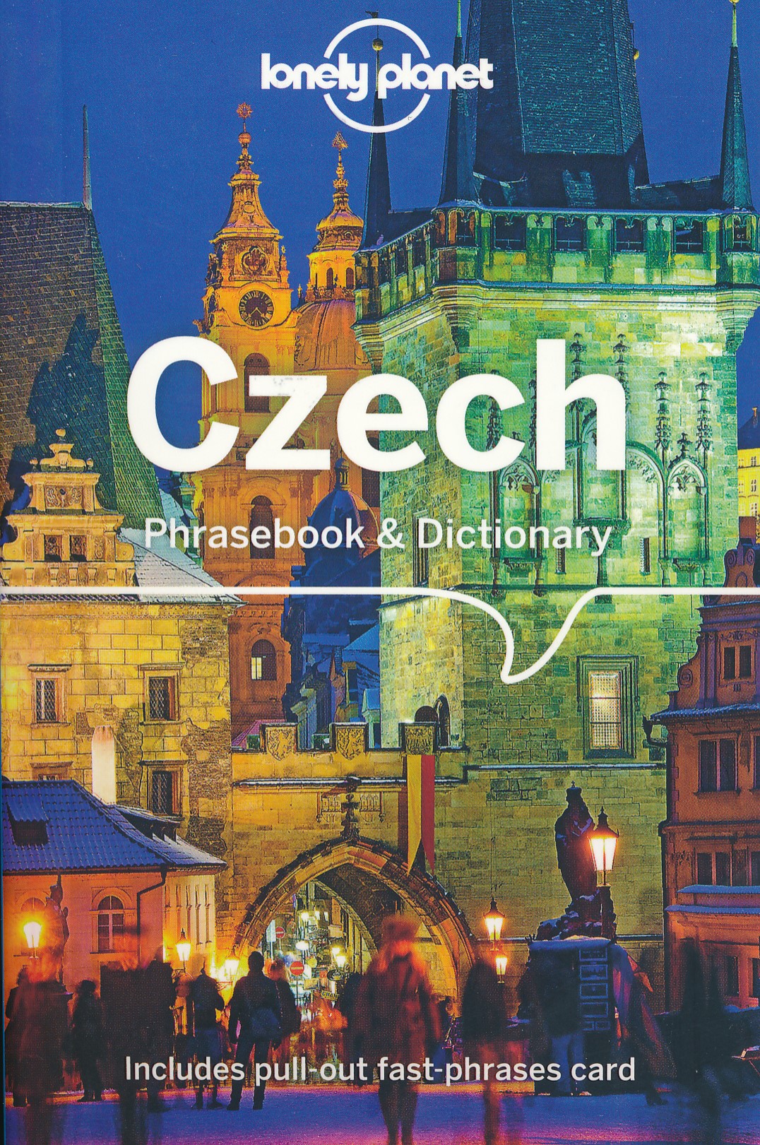
Woordenboek Phrasebook & Dictionary Czech - Tsjechisch | Lonely Planet

Uiterst handige taalgids in prettig zakformaat. Inclusief dubbeltalige woordenlijst, verschillende themahoofdstukken met standaardzinnen.

Anyone can speak another language! It's all about confidence.

This book will give you all the practical phrases you need to explore the countryside, visit Golden Prague, and tour castles and mountains worthy of the Brothers Grimm (in fact, the 2005 movie of that name was filmed here). It also contains all the fun phrases you need to connect with local people and get a better understanding of the country and its culture.

Never get stuck for words with our 3500-word two-way dictionary

Order the right meal with our menu decoder

Avoid embarrassing situations with essential tips on culture & manners

Coverage includes:Basics, Practical, Social, Safe Travel and Food


€ 55.00
Vogelgids Birds of Central America | Princeton University

Birds of Central America is the first comprehensive field guide for the entire region’s avifauna, including the birds of Belize, Guatemala, Honduras, El Salvador, Nicaragua, Costa Rica, and Panama. Handy and compact, the book presents text and illustrations for nearly 1,200 resident and migrant species, and information on all rare vagrants. 260 detailed plates on convenient facing-page spreads depict differing ages and sexes for each species, with a special focus on geographic variation. The guide also contains up-to-date range maps and concise notes on distribution, habitat, behavior, and voice. An introduction provides a brief overview on the landscape and climate of the region and its biogeography.


The culmination of more than a decade of research and field experience, Birds of Central America is an indispensable resource for all those interested in the bird life of this part of the world.

€ 19.50
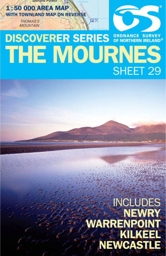
Wandelkaart 29 Discoverer The Mournes | Ordnance Survey Northern Ireland

Zeer gedetailleerde topografische kaart met een aantal toegevoegde toeristische symbolen voor bijv. bezienswaardigheden, campings en jeugdherbergen. Met hoogtelijnen, mooi kleurgebruik en ingetekende lange-afstands-wandelroutes. Op deze kaart zijn de nationale parken en de 'national reserves ' uitstekend te vinden.


De kaart is dus zowel voor de geoefende kaartlezer als voor diegene die een kaart zoekt voor gewoon recreatief gebruik bijzonder handig. Met het 1km ITM grid en graden-indeling is de kaart geschikt voor gebruik met GPS. Per kaart uit deze serie wordt een gebied gedekt van ca. 40 x 30 kilometer. 


De kaart is dan ook als wandelkaart Ierland te gebruiken, maar ook als topografische kaart Ierland.

€ 16.95
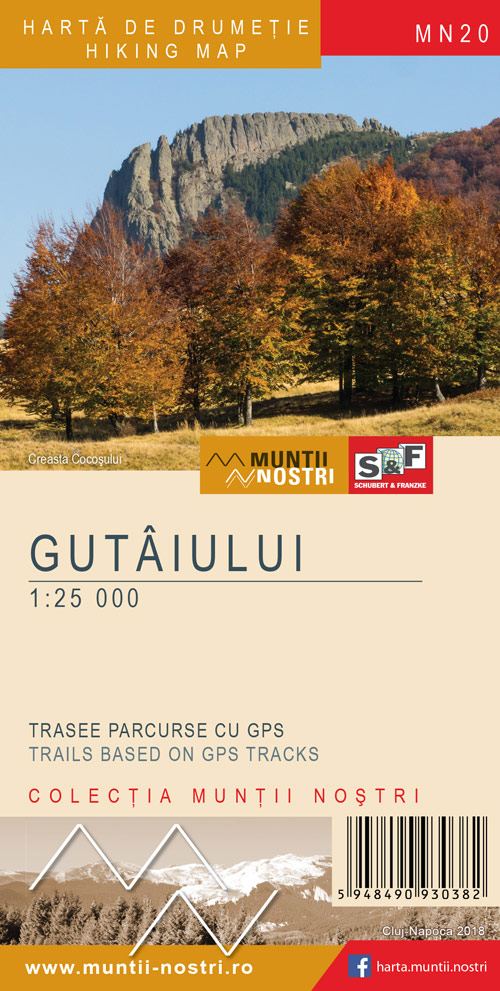
Wandelkaart MN20 Muntii Nostri Gutaiului | Schubert - Franzke

Verrassend goede kaarten van een aantal bekende Roemeense wandelgebieden. Gedrukt op stevig papier.


Gedetailleerde topografische wandelkaart met ingetekende wandelroutes, berghutten en moeilijke doorsteken.Routebeschrijvingen van de wandelroutes met aanvullende informatie en met hoogteprofielen  in het Engels en Roemeens, Met hoogtelijnen en UTM-grid.

€ 16.95
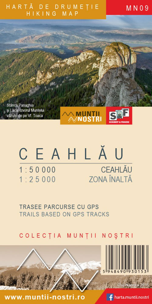
Wandelkaart MN09 Muntii Nostri Ceahlau | Schubert - Franzke

Verrassend goede kaarten van een aantal bekende Roemeense wandelgebieden. Gedrukt op stevig papier.


Gedetailleerde topografische wandelkaart met ingetekende wandelroutes, berghutten en moeilijke doorsteken.Routebeschrijvingen van de wandelroutes met aanvullende informatie en met hoogteprofielen  in het Engels en Roemeens, Met hoogtelijnen en UTM-grid.


Groter gebied op schaal 1:50.000


Nationaal park Ceahlau 1:25.000


€ 16.95
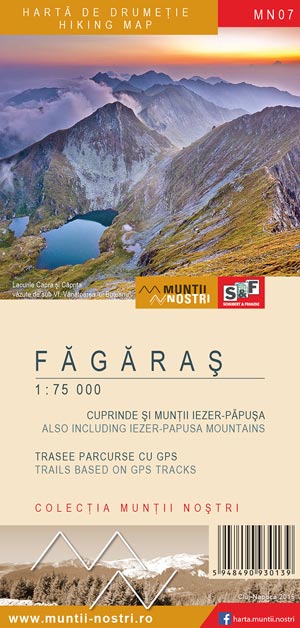
Wandelkaart MN07 Muntii Nostri Fagaras | Schubert - Franzke

Verrassend goede kaarten van een aantal bekende Roemeense wandelgebieden. Gedrukt op stevig papier.


Gedetailleerde topografische wandelkaart met ingetekende wandelroutes, berghutten en moeilijke doorsteken.Routebeschrijvingen van de wandelroutes met aanvullende informatie en met hoogteprofielen  in het Engels en Roemeens, Met hoogtelijnen en UTM-grid.


Set van 2 kaarten.


Groter gebied schaal 1 op 75.000
Detailkaart schaal 1 op 35.000


Dorpen op de kaart: Avrig, Talmaciu, Cainenii Mici, Boisoara, Perisani, Lacul Vidraru, Cartisoara, Vf. Negoiu, Lacul Balea, Victoria, Muntii Ghitu, Vf.Vistea Mare, Lisa, Slatina, Recea, Lacul Rausorul, Lacul Pecineagu, Muntele Langa, Dragoslavele, Vf. Capu Tamasului


€ 16.95
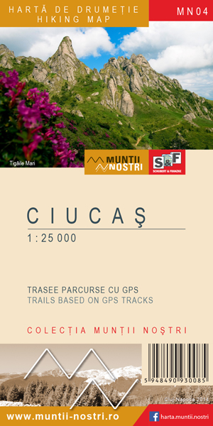
Wandelkaart MN04 Muntii Nostri Ciucas | Schubert - Franzke

Verrassend goede kaarten van een aantal bekende Roemeense wandelgebieden. Gedrukt op stevig papier.


Gedetailleerde topografische wandelkaart met ingetekende wandelroutes, berghutten en moeilijke doorsteken.Routebeschrijvingen van de wandelroutes met aanvullende informatie en met hoogteprofielen  in het Engels en Roemeens, Met hoogtelijnen en UTM-grid.

€ 7.95
Wegenkaart - landkaart Pocket Map Wild Atlantic Way | Collins

Handy full-colour map of Ireland’s Wild Atlantic Way with a high level of detail. Clear mapping of the full 2500 km (over 1500 miles) route, showing the road network and places of interest.


Clear, detailed Collins road mapping is presented in a handy format ideal for the pocket or handbag. It is excellent value and very detailed for its size, covering the whole of the Wild Atlantic Way.


Ideal for tourists, locals, hikers and adventurers. Places of interest marked, including famous film locations.


This map includes:

• Clear mapping at a scale of 8.7 miles to 1 inch

• National Tourist Routes showing best routes through the most scenic areas

• Places of interest include film locations such as Star Wars

• Tourist and signature locations clearly marked

• Suggested itineraries

• Detailed place names index

• Ideal companion to a sat-nav – it enables route planning and route sense-checking

€ 7.95
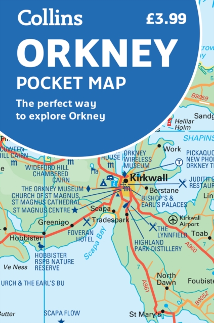
Wegenkaart - landkaart Pocket Map Orkney | Collins

Handy little full colour map of the Orkney Islands in Scotland. Detailed mapping and tourist information for Orkney mainland, Westray, Sanday, Stronsay, Shapinsay, Hoy, South Ronaldsay and the other islands. Excellent value and very detailed for its size.

Main features of this map:


• Clear mapping at a scale of 2.7 miles to 1 inch

• Tourist attractions located and described

• Ideal for touring with sights, places to stay, cafe/restaurant, things to do all on the map

• Transport links map showing how to get to and depart the islands

• Index to places of interest and place names


Essential for those planning a trip around the Orkney Isles.

€ 14.95
Wandelkaart - Topografische kaart 08 Ushguli - Lashkheti - Mt. Shkhara | Geoland

Dubbelzijdige wandelkaart van een deel van Georgië. Met de noodzakelijke topografische informatie als hoogtelijnen, type terrein en vegetatie; onderscheid in wegennet, spoorwegen en kabelbanen. Daarnaast worden met symbolen een aantal toeristische aspecten aangeduid als campings, accommodaties, historische monumenten, etc. Elke kaart heeft een UTM grid en is dan ook GPS compatible, de tekst en legenda is in het Engels en plaatsnamen in Latijns schrift. Bepaalde wandelroutes zijn ingetekend.

Abonneer op