€ 9.95
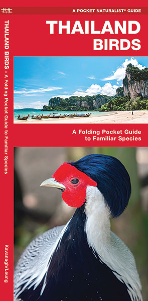
Vogelgids Thailand Birds | Waterford Press

Een bijzonder handige uitklapkaart met alle veelvoorkomende vogels van Thailand. Duidelijke illustraties, goede korte omschrijving van soort en leefgebied, geplastificeerd.

A premier birding destination in Southeast Asia, Thailand harbors a diverse and plentiful avifauna -- over 1,000 species -- and sanctuaries are easily accessible. This beautifully illustrated guide highlights over 140 familiar and unique species and includes a map featuring prominent bird-viewing areas. Laminated for durability, this lightweight, pocket-sized folding guide is an excellent source of portable information for anyone interested in Asia birds, and is ideal for field use by Thailand's visitors and residents. Made in the USA.

€ 8.95
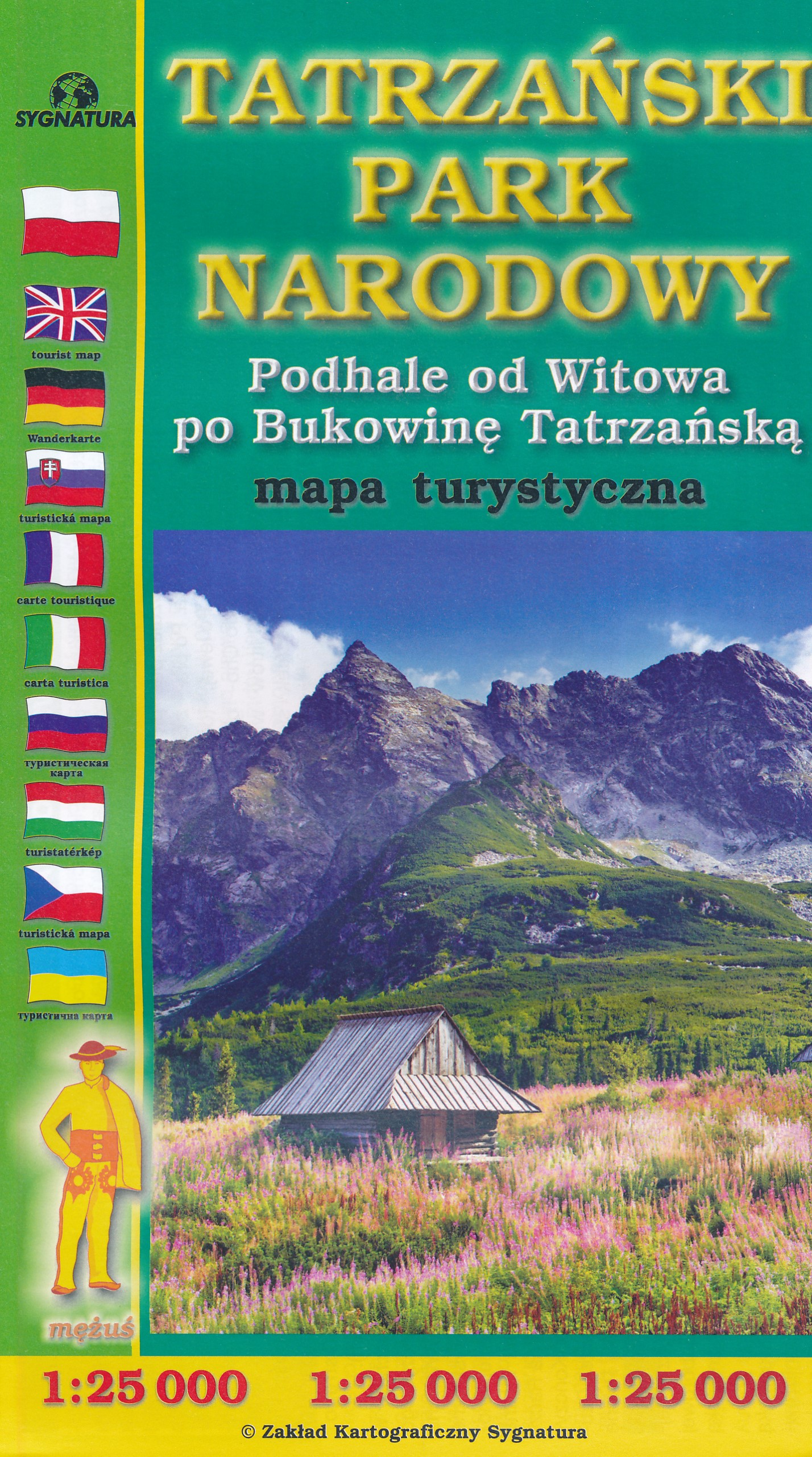
Wandelkaart Tatrzanski Park Narodowy - Hoge Tatra (Polen) | Sygnatura

Uitstekende, bijzonder gedetaileerde wandelkaart van de hoge Tatra aan de kant van Polen. Wandelroutes, al dan niet gemarkeerd, berghutten, campings, wandeltijden, maar ook topografische details als hoogtelijnen, bergruggen of riveiren en meren vind je er op terug: een zeer complete kaart! 

€ 23.95
Wandelgids Switzerland's Jura Crest Trail | Cicerone

Uitstekende wandelgids van de Jura Crest Trail, ook wel bekend als de Jura High Route. Goed beschreven met veel praktische informatie om de route te kunnen lopen, inclusief redelijke kaarten.

This guide presents Switzerland's Jura Crest Trail. Also known as the Jura High Route (Swiss national route 5), this 310km long-distance route traverses the sub-alpine mountains of the Swiss Jura from Dielsdorf near Zurich to Nyon on the shores of Lac Léman (Lake Geneva), running roughly parallel to the Swiss-French border. With over 13,500m of ascent, the trail demands a moderate level of fitness and can be comfortably completed in around a fortnight.

The Jura Crest Trail is easily accessed from Zurich and Geneva. The region boasts excellent walking infrastructure and facilities, and although the trail crosses the mountains, you are seldom too far from civilisation. The guide contains all the information you need to plan and walk the route. You'll find advice on transport and comprehensive details of accommodation and refreshments. The trek itself is presented from east to west in 14 stages of 12-32km, with step-by-step route description accompanied by clear mapping and notes on local points of interest.

The Jura Crest Trail boasts far-reaching views of the Bernese Oberland, the Haute Savoie and the Rhine and Rhone Valleys, and is rich in geological, natural and historical interest. Passing through woodland and alpine meadows and crossing rolling limestone plateaux, highlights include the spectacular amphitheatre of the Creux du Van, the medieval towns of Baden and Brugg, and Lac de Joux, Switzerland's largest mountain lake.

Dorpen en Steden

Dielsdorf, Baden, Brugg, Balsthal, Weissenstein, Solothurn (slightly off-route), Biel/Bienne (slightly off-route), Vue des Alpes, Noiraigue, Vallorbe, Le Pont, Ste-Cergue, Nyon


€ 16.95
Wegenkaart - landkaart Nordkalotten - Lapland - Noord Scandinavie | Norstedts

Bijzonder prettig leesbare kaart van Lapland - Noord Scandinavie. Naast het wegennet staan bijvoorbeeld campings heel duidelijk aangegeven. Ook jeugdherbergen, vliegvelden en havens worden met symbolen ingetekend. 

The map extends from Piteå in the south to Nordkap in the north. From Murmansk to the east to the Atlantic coast to the west.


Map legends in English, Norwegian, Finnish, German and French.


Within Norway, Sweden and Finland road network includes local roads, shows driving distances on main routes, and indicates sections closed during the winter months.

€ 16.95
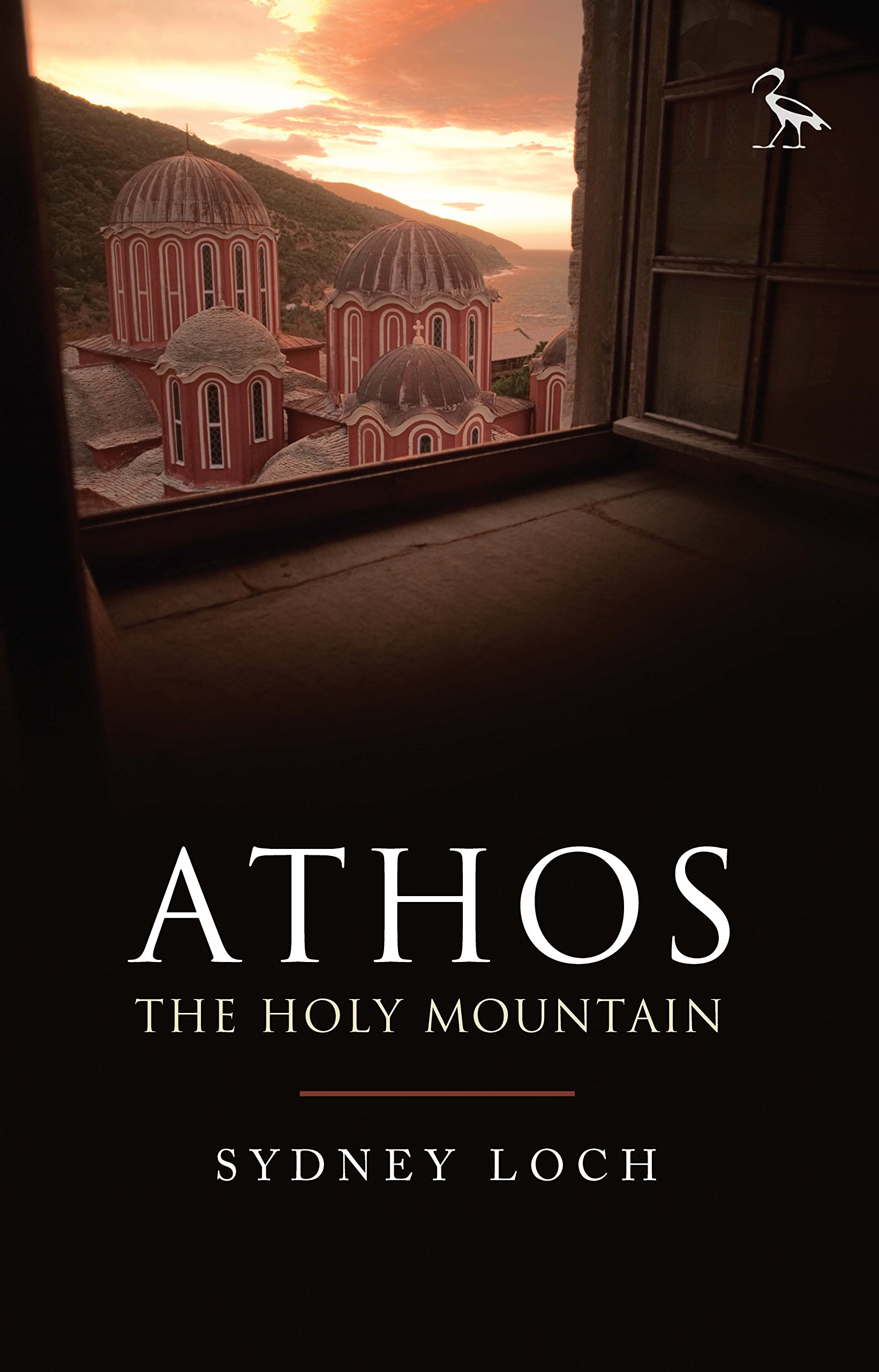
Reisverhaal Athos - the holy mountain | TPP

“It calls for a writer more able at words to picture the sheer beauty of the Mountain. To convey the altering feeling of morning, or high noon; of afternoon, and deep midnight; of the golden scores of stars puncturing the sky.”


Athos, the Holy Mountain of Greece, is one of the most mysterious places in the world. A rugged pyramid that rises up from the Aegean Sea, the mountain is wreathed in myth, legend and ancient traditions that, to this day, remain largely hidden from view. The heart of Athos started to beat at the dawn of Christianity and its community lays claim to being the oldest democracy in the world. An entirely autonomous region of the Hellenic Republic, it is home to twenty Eastern Orthodox monasteries that cling to its rocky flanks. No women are allowed to set foot upon the peninsula and the monks who inhabit this isolated place still use the Julian calendar, living on 'Byzantine Time', where each day starts at sunset. While living in the mountain's shadow, in Ouranopolis, Sydney Loch spent many years exploring Athos, and here he paints an enthralling, unrivalled portrait of the Holy Mountain. 

€ 29.95
Wandelkaart 3015 Topo 3000 Alvdal Vestfjell | Nordeca

Een nieuwe serie van Nordeca. Een grote kaart op scheurvast papier. Het heldere kaartbeeld wat we van de andere series ook kennen is hier gebruikt wat de kaart goed leesbaar maakt. 


Topo 3000 is a detailed map covering an area of 64 x 47 km (over 3000 km2) Here you will find the hiking routes easily, over the mountains, through the forest and along the roads. Lodgings are emphasised to facilitate your planning.


Kartet dekker : Folldal - Alvdal - Tron- Atnsjøen- Straumbu


- Detaljert og lettlest

- Dekker over 3000km2

- Målestokk: 1:50 000

- Tåler vann og hard bruk

- Tydelige avmerkede turstier

- Hytter og overnatting


€ 20.95
Reisgids Global Beer Tour | Lonely Planet

Leuke thematische reisgids waarin je de beste brouwerijen van de wereld vindt.


Explore the vibrant world of craft beer with Lonely Planet’s ale experts. We’ve selected the finest tap rooms, bars and breweries that thirsty travellers can visit in 30 countries around the world. Discover where they are, which beers to sample, and learn about local places of interest to create complete itineraries. Each country is introduced by a beer expert and includes notes on regional beverages that shouldn’t be missed.


The craft beer revolution has seen waves of breweries open up to the public, not just in the United States, the UK and Australia, where the trend is well established, but all over the world. Visit European beer capitals in Belgium, Italy and Germany, and sample local favourites in Canada, Australia and New Zealand. In Asia, explore hotspots in Japan, Vietnam and China, then venture to South America, Africa and the Middle East.


Each brewery profile is accompanied by a selection of sightseeing ideas and activities, from local museums and galleries, to great hikes or bike rides to combine your beer pilgrimage with must-see local highlights. The book also features fun sections on beer trails, hangover cures and the world’s wildest beers. There’s also practical advice like how to ask for a beer in the local language and the ideal snacks to accompany your drink.

€ 14.95
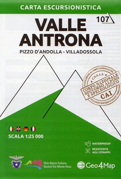
Wandelkaart 107 Valle Antrona - Pizzo d'Andolla - Villadossola | Geo4Map

Gedetailleerde wandelkaart van een deel van het bergmassief van de Monte Rosa en de uitlopers daarvan in het noordelijke deel van Piemonte.


De kaart is gebaseerd op topografische kaarten met belangrijke zaken als hoogtelijnen, bergtoppen en woningen. Daarnaast zijn er voor de wandelaars nuttige feiten als hutten, campings maar ook markeringen aangegenen; de wandelpaden staan heel duidelijk ingetekend. Voor een kaart van Italiaanse makelij van ongekend hoge kwaliteit. 


Dorpen en Bergen op de kaart

Domodossola, Villadossola, Antronapiana, Fonti, Seppiana, Montescheno, Piedimulera, Antrogna, Vanzone, Bannio, Anzino, Pieve Vergonte, Pizzo d'Andolla / Portjengrad, Weissmies, Pizzo Botarello / Sonnighorn, Cima del Rosso, Pizzo Ciape, Punta Turiggia, Punta di Saas / Latelhorn, Jazzihorn / Punta Cingino.


Piemont, Provinz Verbano-Cusio-Ossola, Eschentäler / Ossola-Täler, Parco Regionale Alta Valle Antrona.

€ 11.95
Wandelkaart 2.1 Mt. Parnassos | Anavasi

De wandelkaart van Mt Parnassos was een van de eerste kaarten die door Anavasi werd gepubliceerd, nu aangepast op een meer gedetailleerde schaal. De E4-route en de nationale route 22 zijn opgenomen in de kaart, maar ook de bergroute van Amfikleia en nog veel meer paden. 


Mount Parnassos is een berg van kalksteen in het centrale Griekenland dat uitstijgt boven Delphi, het biedt een schilderachtig uitzicht op de omliggende olijfgaarden. Volgens de Griekse mythologie was deze berg heilig voor Apollo en de Corycian nimfen, en het huis van de Muses. Vandaag de dag zijn de pistes van Mount Parnassos de locatie van het grootste skigebied in Griekenland.

De kaarten van Anavasi zijn zeer gedetailleerd, beschikken over een helder kaartbeeld en zijn uitstekende kaarten voor diverse activiteiten. Ze beschikken over vele interessante punten voor wandelaars, fietsers of andere toeristen die het gebied bezichtigen. De wandelkaarten bevatten ook een uitzonderlijke reliefaanwijzing, verschillende vormen van gewassen en andere topografische details.

€ 12.95
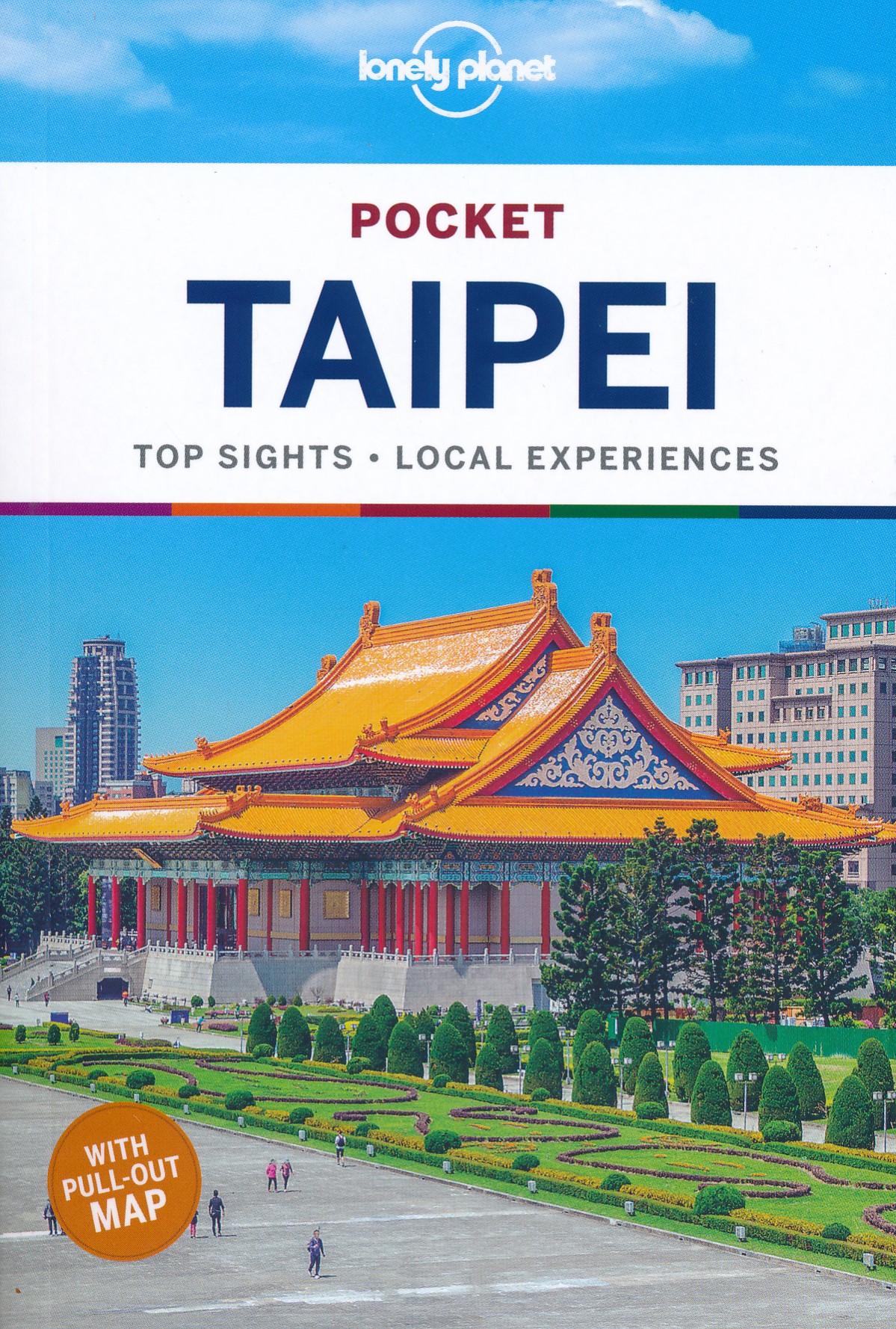
Reisgids Pocket Taipei - Taipeh | Lonely Planet

Pocket reisgidsen van Lonely Planet zijn een kleinere versie dan de 'echte' Planets. Vaak echter van bijzondere bestemmingen binnen een bepaald land waardoor er meer aandacht is en uitgebreidere tips zijn voor die bepaalde streek i.v.m. de grote Planets. Handzaam formaat, makkelijk in de binnenzak! Toch ook deze vol met praktische informatie.

Lonely Planet’s Pocket Taipei is our colourful, easy to use and handy guide that literally fits in your pocket, and is packed with the best sights and experiences for a short trip or weekend away.


It's your passport to the most relevant, up-to-date advice on what to see and skip, and what hidden discoveries await you. Get the ultimate view from Taipei 101, explore the world-class antiquities at the National Palace Museum, and admire the grandeur of Chiang Kai-shek Memorial Hall – all with your trusted travel companion. Get to the heart of Taipei and begin your journey now!


Inside Lonely Planet’s Pocket Taipei:


Colour maps and images throughout

Highlights and itineraries help you tailor your trip to your personal needs and interests

Insider tips to save time and money and get around like a local, avoiding crowds and trouble spots

Essential info at your fingertips - hours of operation, phone numbers, websites, transit tips, prices

Honest reviews for all budgets - eating, sleeping, sightseeing, going out, shopping, hidden gems that most guidebooks miss

User-friendly layout with helpful icons, and organised by neighbourhood to help you pick the best spots to spend your time

Coverage Includes: Beitou, Shilin, Zhongshan, Datong, Zhongzheng, Ximending, Shida, Maokong, and more

 

Abonneer op