€ 269.00
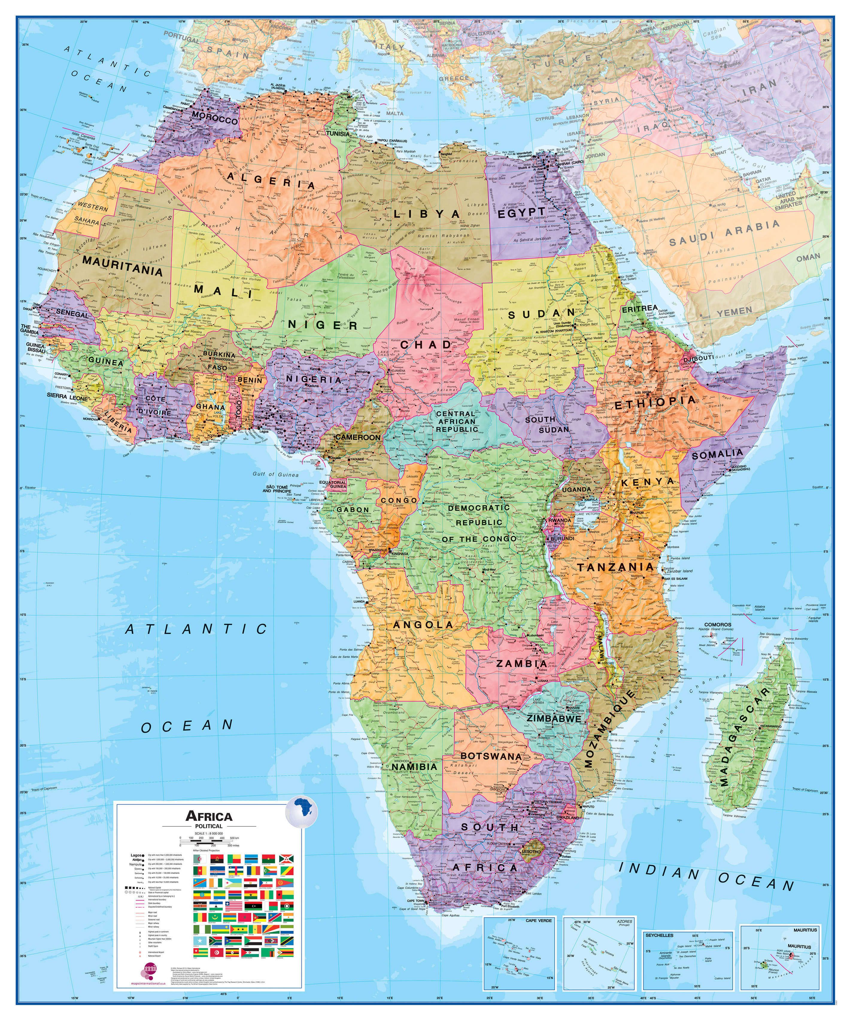
Wandkaart - Magneetbord Afrika Politiek - Africa Political, 120 x 100 cm | Maps International

Fraaie politieke kaart van het continent, waarbij vooral de politieke aspecten heel duidelijk te lezen zijn. Alle landen hebben verschillende kleuren, steden en belangrijke verbindingen zijn goed te vinden.


De kaart wordt in deze versie gelijmd op een plaat, voorzien van een mooie aluminium lijst en een ophangsysteem wordt meegeleverd. Daarnaast krijgt u een bakje bijgeleverd dat u er aan kunt bevestigen voor pennen, stiften of magneetjes.


Maps International's Africa political wall map shows the whole African continent from Morocco in the north, to South Africa and Madagascar in the south. 


This political wall map of Africa features countries marked in different colours, with international borders clearly shown. The map's key shows a panel of flags from each of the countries displayed in this African continent map. This political wall map of Africa also contains population detail, capital cities and all the major towns and cities in this continent. 


As with most of Maps International's maps, the Africa political wall map, is available either plain or laminated. Ideal size for an office or classroom or for planning a trip around Africa.

€ 21.95
Wandkaart 22110 Afrika, politiek, 61 x 78 cm | National Geographic

Mooie wandkaart van Afrika, staatkundig, met rustig kleurgebruik en helder kaartbeeld, Ondanks het wat kleiner formaat staan er toch heel wat topografische details op vermeld. 

Kaart is up-to-date.

The map presents Africa at 1: 14,244,000 and coverage includes the whole of the Mediterranean Basin, extending north to London. Islands in the Atlantic and the Indian Ocean are included on a separate inset. The base map has relief shading to show the continent’s topography, with additional graphics indicating deserts, swamps, salt flats, etc. The map shows the names of the main geographic features such as mountain ranges, deserts, peaks etc. Heights are given in metres, except for Kilimanjaro, shown in both metres and feet. In the Congo basin many of the tributaries are named. 


Country boundaries are shown in contrasting colours. All place names are in English, except for selected cities such as Cairo, Tripoli or Algiers where the original names are shown first (El Quahira, etc) with the English equivalents in brackets. Where appropriate, administrative, legislative and judicial capital cities are indicated (e.g. Dar Es Salam/Dodoma, Johannesburg/Cape Town/Bloemfontein, etc). 


€ 1599.00
Prikbord Wereldkaart (29PR) politiek, 296 x 193 cm | National Geographic

Een bijzonder grote wereldkaart van National Geographic. Deze kaart is politiek van opbouw: alle landen worden met duidelijke grenzen heel goed zichtbaar. Daarnaast staan er veel plaatsen op en worden ook de dieptes van de verschillende oceanen, golfstromen en heersende windrichtingen weergegeven.


Een prachtige kaart aan de muur, aan de zijkanten afgewerkten met een mooie rand en een heldere maar tegelijk ook vrij zachte, niet overheersende kleurstelling.


Deze kaart wordt gemaakt in drie delen - te groot om in 1 keer te fabriceren met kans op beschadigingen - die vervolgens zeer nauwkeurig aan elkaar worden geplakt. Daarna gaat er een coating overheen om de kaart geplastificeerd te maken. Een heel proces, maar het resultaat is prachtig!


De wandkaarten op prikbord worden geleverd met een aluminium lijst en een eenvoudig te monteren ophangsysteem. Zij zijn geschikt voor allerhande markeringsystemen als vlaggetjes en prikkers.


Bij dit prikbord wordt gratis een set markeervlaggetjes (20 stuks) bijgeleverd


€ 139.00
Wereldkaart 64H-E Political, 101 x 59 cm | Maps International

Door het heldere en vrij felle kleurgebruik is deze kaart uitermate geschikt voor scholen, kantoren of gewoon als politieke wereldkaart thuis. Bedenk wel dat deze maat klein is om van ver af goed te kunnen lezen.De kleurstellig is zodanig dat elk land zich zeer goed onderscheidt van haar buren. De natuurkundige aspecten zijn minder goed te zien, al worden de gebergten door schaduwwerking goed uitgelicht. De nadruk ligt echter duidelijk op een ‘gewone’ wereldkaart. De belettering is uitstekend leesbaar door vetgedrukte naamgeving.


Engelstalig, maat 101 x 59 cm. Geplastificeerde versie zonder vlaggen, met houten stokken als ophangsysteem

€ 20.95
Reisgids Exploreguide Cracow - Krakow | ExpressMap

A guidebook with a difference. Mapped out itineraries, a detailed city atlas and a folding laminated map - all prepared especially to complement the guidebook format.

With this set, it is easy to plan your sightseeing tour, move about the city and find your way to selected sights. 11 suggested itineraries. 11 itineraries featuring 99 of the most interesting sites. An encounter with the firebreathing Wawel dragon, the magic of Jewish Kazimierz, age-old Catholic traditions kept alive in the Old Town's fine churches, the Socialist-Realist charm of Nowa Huta.

59 restaurants, bars and cafés. For every palate and budget : the best of Polish cuisine served in stylish restaurants and cosy bars, Jewish meals accompanied with Klezmer music, and fast food with a difference. 42 outing ideas. Theatres and art houses of the cultural capital of Poland. Alternative pubs, jazz bars and dance clubs. Cracow for adrenaline addicts : laser paintball and go-karts. 29 best shopping places. An A-Z for fashion buffs : unique jewellery, handmade bags, and vintage clothes. Shops selling original souvenirs, and flea markets full of second-hand curios. 27 festivals and events.

From music festivals (classical, jazz, pop), through international film reviews, to picturesque parades and processions. Exhaustive practical info. General information on the city's transport, accommodation and tourist services, and practical details concerning each sight (opening hours, access by public transport, etc.).

€ 11.95
Wegenkaart - landkaart 3 China centraal | Nelles Verlag

Goede wegenkaart van een deel van China. Aan beide kanten bedrukt. Met veel toeristische aanduidingen als nationale parken en culturele bezienswaardigheden. Prima leesbare kaart.

Cental China at 1:1,750,000 from Nelles in a convenient format for use when travelling, with street plans of central Beijing and Shanghai. The map is double-sided, with an overlap between the sides, and provides coverage from just north of the capital, to include the local sections of the Great Wall, to Wenzhou and westwards to include Xian. All place names are in the Latin alphabet only with, where useful, their historical pre-Pinyin names (Peking, Tsingtao, etc).


Maps in the Nelles series for China present road and rail networks on a base with topography indicated by relief shading, with names of mountain ranges and peaks plus additional spot heights. Local airports are marked and the maps also show internal administrative boundaries with names of the provinces. Places of interest, including historical sights, beaches, national parks or protected area, etc. are highlighted both on the main map and on the accompanying street plans or enlargements. Each title has latitude and longitude lines at 1° intervals. The maps are not indexed. Map legend includes English.

€ 13.95
Stadsplattegrond Meran - Merano | Freytag & Berndt

Stadsplattegrond met register. Helder kaartbeeld waarbij de naamgeving goed leesbaar is weergegeven. Met de toeristische bezienswaardigheden in symbolen weergeven: monumenten, musea, stadions e.a. Daarnaast handige zaken als postkantoren, parkeergarages en stations. Veelal ook met een openbaar vervoer of metro kaart als inzet

€ 395.00
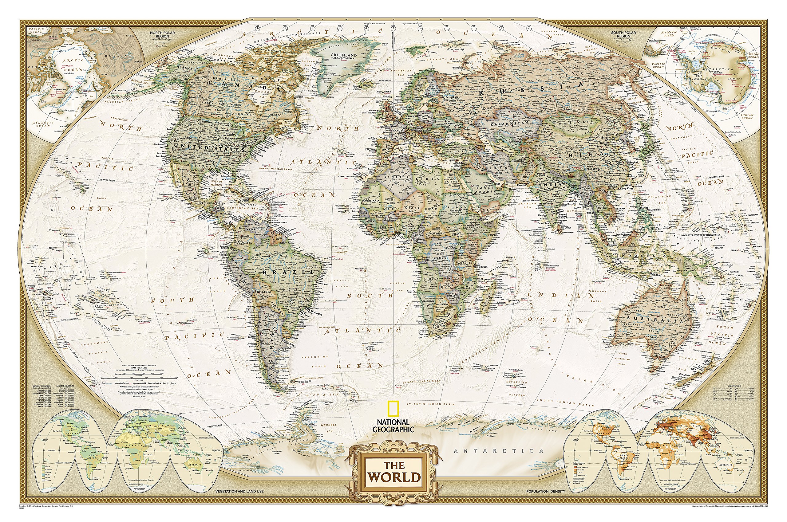
Prikbord 28PR Wereldkaart, politiek & antiek, 185 x 122 cm | National Geographic

Een prachtige, stijlvol gekleurde kaart - bruin, antieke uitstraling - met een modern kaartbeeld. Alle landen staan er met grenzen en belangrijke steden keurig op, maar de nadruk ligt op de kleurstelling: deze is ‘ouderwets‘ en past goed in een klassiek interieur. Door het kleurgebruik is het reliëf van de bodem van oceanen goed te zien.


Het is de meest verkochte wereldkaart uit ons assortiment!


De wandkaarten op prikbord worden geleverd met een aluminium lijst en een eenvoudig te monteren ophangsysteem. Zij zijn geschikt voor allerhande markeringsystemen als vlaggetjes en prikkers.


Bij dit prikbord wordt een set markeervlaggetjes (20 stuks) gratis meegeleverd


National Geographic is a renowned authority in cartography. For 120 years the Society's maps have helped spread geographic knowledge around the globe. A vast database allows National Geographic to combine the latest data gained by space-age technology with innovative digital mapping techniques to create state-of-the-art political, physical, and thematic maps. The Society's meticulous research and attention to detail have established a standard of achievement that is unparalleled.


A current political map that features our world in rich, earth-toned colors. Astounding detail and boardroom quality make this map excellent for reference in your home or office. Features the Winkel Tripel projection to reduce distortion of land masses as they near the poles

€ 14.95
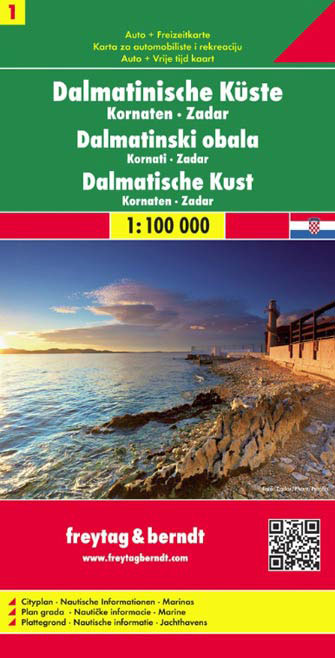
Wegenkaart - landkaart 1 Dalmatische Kust Zadar - Kornaten | Freytag & Berndt

Een deel van de kaartenserie van Freytag & Berndt die de hele Dalmatische kust dekt: een echte toeristische kaart met grote symbolen voor de verschillende toeristische aspecten als havens, campings, ferry's, stranden en bezienswaardigheden. 

Coverage includes the islands of Kormat, Pasman Ugljan, Dugi Otok and the southern part of Pag. The map shows local roads, highlighting scenic routes, and indicates ferry connections. Icons mark various facilities such as campsites, beaches and marinas, as well as places of interest.

€ 18.50
Reisgids Marco Polo DE Bayerischer Wald - Beierse Woud | MairDumont

Handige en overzichtelijke, kleine reisgids voor een eerste kennismaking met het Beierse Woud. Globale uitklapkaart achterin, makkelijk binnenzakformaat.


Urlaub zwischen Urwald und Mittelalter mit dem MARCO POLO Reiseführer Bayerischer Wald Wildromantische Wälder, rauschende Flüsse und mittelalterliche Altstadtkulissen - die Vielfalt des Bayerischen Waldes macht Lust auf Erkundungstouren im Gestern und Heute. Ob du ihn in Wanderschuhen, auf dem Mountainbike oder auf Ski entdeckst: Dein MARCO POLO Reiseführer Bayerischer Wald bietet eine Fülle an Empfehlungen für jeden Geschmack, mit denen du deine Reise flexibel gestalten kannst.

Smarter Wandern mit der kostenlosen MARCO POLO Touren-App: beste Orientierung auch im Wald mit Online- und Offlinekarten Alle Highlights im Überblick: Sehenswürdigkeiten, die du nicht verpassen solltest, und Insider-Tipps, die nicht jeder kennt Ob Shopping-Touren, kulinarische Genüsse oder sportliche Aktivitäten: Stell dir genau das Urlaubsprogramm zusammen, auf das du Lust hast! Reisen mit Kindern, Ausflüge bei schlechtem Wetter oder Urlaub mit kleinem Budget? Kein Problem mit den MARCO POLO Best-of-Tipps Mit komplett überarbeiteten Highlight-Karten und Stadtplänen findest du immer, was du suchst

Einfach entspannt reisen mit Insider-Tipps und Erlebnistouren von MARCO POLO


Wusstest du, dass es nirgendwo in Deutschland so viele Wellnessangebote gibt wie im Bayerischen Wald? Hier kannst du nach Herzenslust im Spa die Seele baumeln lassen oder deine müden Füße nach dem Wandern im Naturschwimmbad kühlen. Oder doch lieber bei einer spritzigen Paddeltour auf der Ilz?


Ob Action oder Erholung pur: Mit dem MARCO POLO Reiseführer Bayerischer Wald kommst du immer maximal entspannt ans Ziel und verpasst kein Highlight der herrlichen Mittelgebirgsregion!


MARCO POLO Top Highlights Das Beste zuerst So tickt der Bayerische Wald Essen, Shoppen, Sport Regionen im Überblick Oberer Bayerischer Wald Unterer Bayerischer Wald Nationalpark & Umgebung Erlebnistouren


Gut zu wissen: Die Basics für deinen Urlaub Urlaubsfeeling Travel Pursuit Register & Impressum Bloß nicht!


Abonneer op