 Dé caravan marktplaats van Nederland
Klimgids Walliser Alpen Mont Dolent / Grand Combin / Pigne d'Arolla |

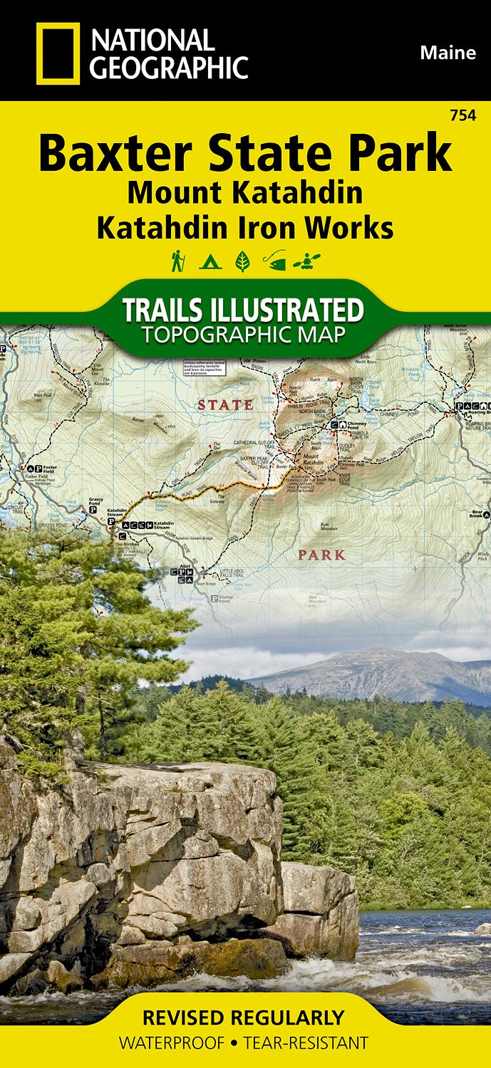
Wandelkaart 754 Topographic Map Guide Baxter State Park/Mount Katahdin
Tourskigids Ski touring in Romsdalen | Fri Flyt AS

Topografische kaart 1109 MT50 Playa del Inglés (Gran Canaria) | CNIG -

Topografische kaart 421-II Premià de Mar | CNIG - Instituto Geográfico

Wandelgids VI05 Rando Citadines Marseille à pied | FFRP

Wandelgids P311 Toulouse métropole à pied 20PR | FFRP

Topografische kaart 1043 MT50 Berja | CNIG - Instituto Geográfico Naci

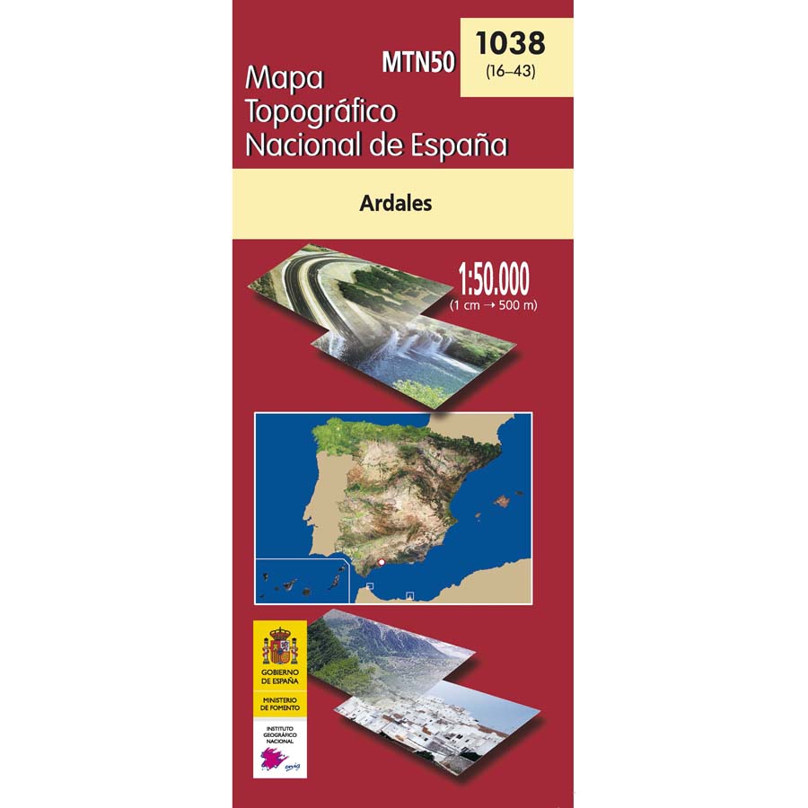
Topografische kaart 1038 MT50 Ardales | CNIG - Instituto Geográfico Na
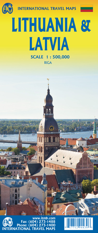
Wegenkaart - landkaart Litouwen & Letland | ITMB