
Spoorwegenkaart Schotland - Scotland Central and South Rail and Road | ITMB
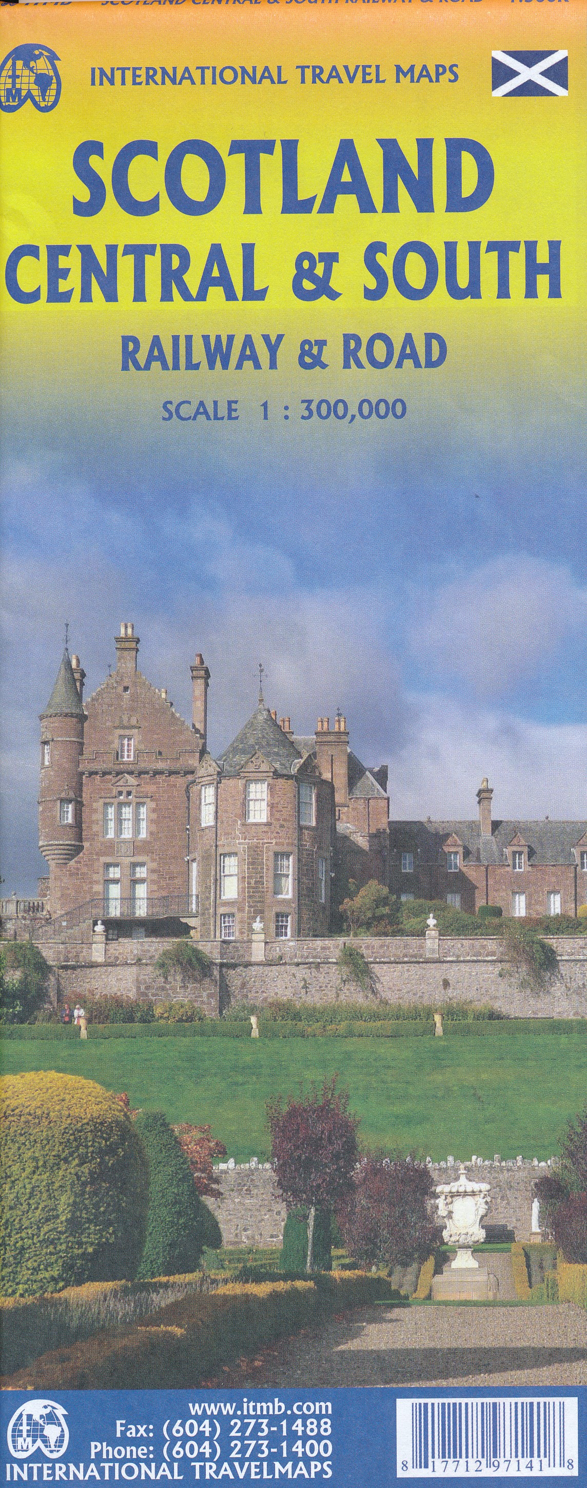
Een degelijke kaart met aanduidingen van o.a. spoorlijnen, nationale parken, vliegveld, benzinepomp, dirt-roads en kleine plattegrond van hoofdstad. Als overzichtskaart goed te gebruiken.
This is another new ITMB title and extends our sectional coverage of the UK northwards from the southernmost border at Gretna Green through the densely-populated Glasgow/Edinburgh/Stirling conurbation to the highlands. The reason for this sectional map is to provide additional space to show 25% more detail than our map of all of Scotland can provide. The north of Scotland is my favourite part of the country, but there isn’t much there except heather and single-lane tracks across treeless moors. The South, like it or not, is where most of Scotland’s four million people live and where most of the castles, palaces, battlefields, parks, and touristic attractions are located. The map also shows the ferry routes to the outer islands of Arran and Mull, and the most poignant battlefield I’ve ever visited, Culloden, east of Inverness. This was the spot where the clans were slaughtered in 1745, effectively ending the clan system and determining Scotland’s future as a junior partner to England. For history, Scotland is hard to beat, and this map shows the beauty and the majesty of this interesting homeland to excellent advantage. Rail lines have been emphasized.
€ 13,95
Verzendkosten: € 2,95Specificaties
Merk:
n.b.
EAN:
Je bestelt bij:
De Zwerver
Categorie:
Subcategorie:
Maat:
n.v.t.
Materiaal:
n.v.t.
Levertijd:
Aantal beschikbaar:
n.b.
Verkoopprijs
€ 13,95
Prijzen vanaf:
n.v.t.
Verzendkosten:
€ 2,95
ISBN:
9781771297141
Editie:
Uitgever:
ITMB
Beschrijft het volgende gebied:
Europa - Schotland -
Taal:
Direct bestellen: