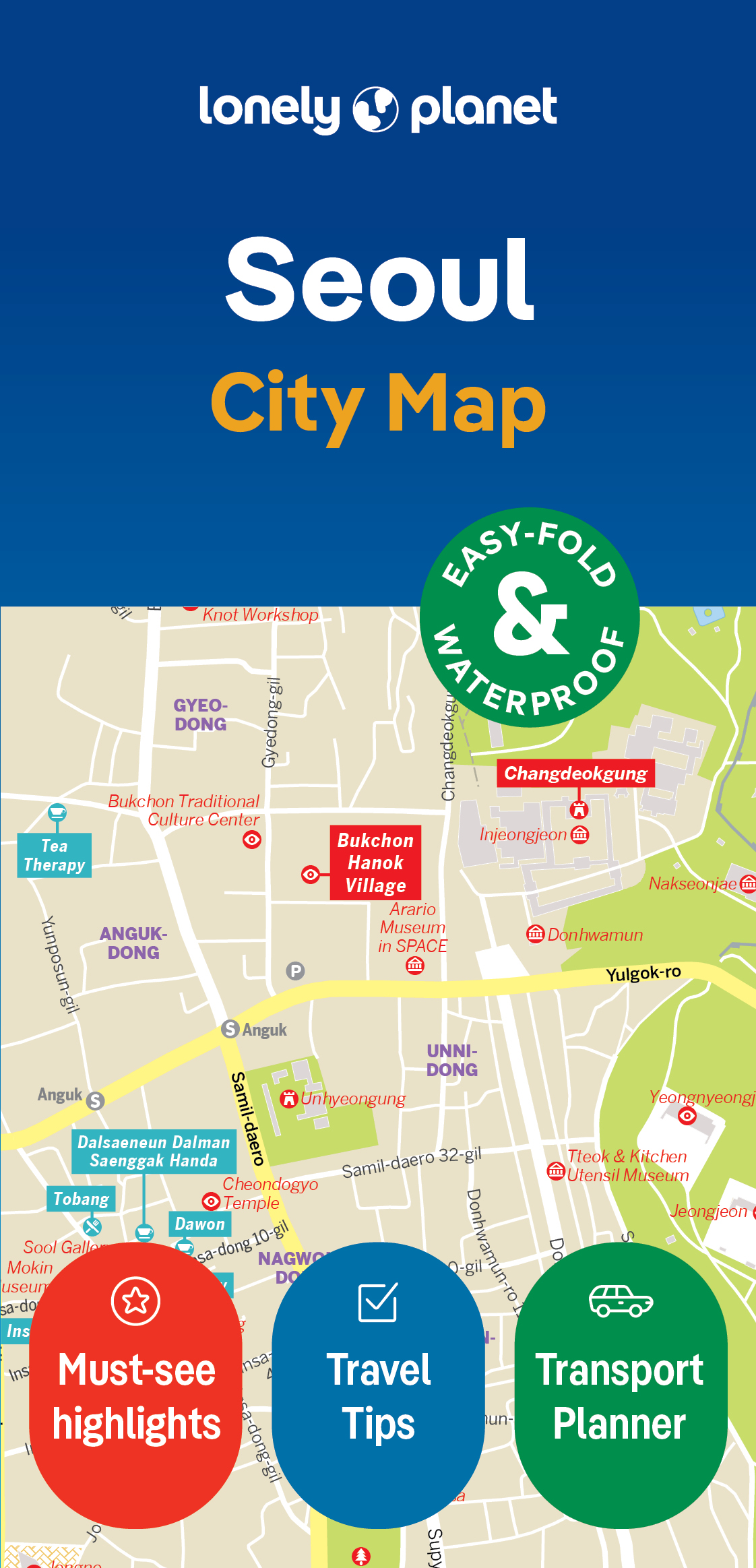
Stadsplattegrond City map Seoul | Lonely Planet
De stadsplattegronden van Lonely Planet zijn uitgevoerd op scheur- en watervast papier, zijn lichtgewicht en kennen een handig formaat. Het centrum van de stad is in heldere kleuren in beeld gebracht met straatnamen, bezienswaardigheden en symbolen voor openbaar vervoer. Op de achterzijde staat informatie over de toeristische hoogtepunten en in de meeste gevallen een schematische plattegrond van het openbaar vervoer. Met een register.
Durable and waterproof, with a handy slipcase and an easy-fold format, Lonely Planet Seoul City Map is your conveniently-sized passport to traveling with ease.
Get more from your map and your trip with images and information about top city attractions, walking tour routes, transport maps, itinerary suggestions, extensive street and site index, and practical travel tips and directory. With this easy-to-use, full colour navigation tool in your back pocket, you can truly get to the heart of Seoul, so begin your journey now!
Durable and waterproof
Easy-fold format and convenient size
Handy slipcase
Full colour and easy-to-use
Extensive street and site index
Images and information about top city attractions
Handy transport maps
Walking tour routes
Practical travel tips and directory
Itinerary suggestions
Coverage Includes: Gwanghwamun, Jongno-gu, Myeong-dong, Jung-gu, Western Seoul, Itaewon, Gangnam, Dongdaemun, Eastern Seoul, Northern Seoul
€ 10,95
Verzendkosten: € 2,95Nu bestellen bij De Zwerver

