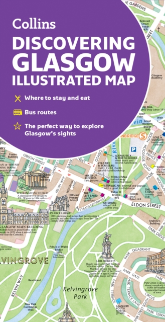
Stadsplattegrond Glasgow Illustrated Map | Collins
Explore new places with dependable maps from Collins. As the largest city in Scotland, Glasgow is a vibrant and bustling hub, enjoyed by thousands of visitors each year. This updated map displays delightful water-colour mapping, and includes individual illustrations of all the main sights and landmarks in the city.
Covers the centre of Glasgow from the Botanic Gardens in the north and the Riverside Museum to the west to the 12th century Cathedral and the gritty Barras Market to the east. Further mapping stretches southwest to Pollok Park and the newly refurbished Burrell Collection. The map features: Historical and contemporary anecdotesPopular areas at larger scale, hundreds of shops, restaurants, cafes and barsComprehensive travel information and indexShop-by-shop street maps of Buchanan Street and the Merchant CityRailway stations, taxi ranks and car parksBus routes shown for tour companies and airport linksBeautiful illustrations of Glasgow's top sights The perfect companion or souvenir for visitors to Glasgow.
€ 9,95
Verzendkosten: € 2,95Nu bestellen bij De Zwerver

