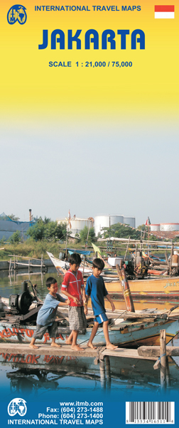
Stadsplattegrond Jakarta en omgeving | ITMB
Kaart van het centrum op gedetailleerde schaal en een kaart op de achterzijde van de regio en voorsteden op een schaal van 75.000.
Indonesia is emerging quickly as one of the power-houses of Asia. Jakarta is a huge urban area, with a charming city centre. This double-sided map shows Greater Jakarta on one side, with its expressways and inter-urban train network and is, in my opinion very useful to business visitors to the city. It includes the airport, the city centre, the enormous soccer stadium (worth a visit), and the roads connecting the different neighbourhoods of this spread-out city. The other side concentrates on the central core of Jakarta, which is where most visitors would spend most time. Road and rail connections are clearly shown, as well as a good range of embassies, museums, hotels, gas stations, religious buildings, hospitals, and touristic attractions. Asian cities tend not to be well-mapped; the last map of the city that I recall was done about ten years ago, so this should fill a gap.
Legend Includes:
Roads by classification, hotel, monuments, bus terminal and bus routes, museums, shopping centers, tourist information, points of interest and other information
€ 13,95
Verzendkosten: Zie website leverancierNu bestellen bij De Zwerver

