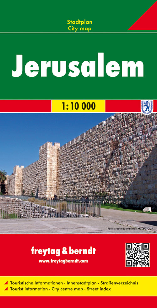
Stadsplattegrond Jerusalem - Jeruzalem | Freytag & Berndt
Stadsplattegrond met register. Helder kaartbeeld waarbij de naamgeving goed leesbaar is weergegeven. Met de toeristische bezienswaardigheden in symbolen weergeven: monumenten, musea, stadions e.a. Daarnaast handige zaken als postkantoren, parkeergarages en stations. Veelal ook met een openbaar vervoer of metro kaart als inzet
Large, general street plan of the city with a clear enlargement of the Old City at 1:4,500. The main plan extends west to beyond the Jerusalem Forest and east to Mount of Olives. Coverage north/south is from Ramat Polin and Beit Khanina to Gilo. Public buildings a highlighted and symbols mark places of worships, monuments, etc. A large inset provides more detailed coverage of the Old City, indicating various places of worship and historical monuments, car parks, etc. All place names are in Roman alphabet only. Multilingual map legend included English and Hebrew.
€ 13,95
Verzendkosten: Zie website leverancierNu bestellen bij De Zwerver

