
Stadsplattegrond Praag | Freytag & Berndt
Stadsplattegrond van Praag: duidelijk leesbaar, klein register.
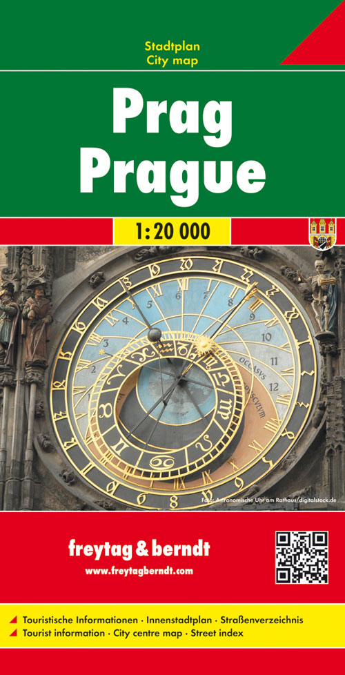
Stadsplattegrond met register. Helder kaartbeeld waarbij de naamgeving goed leesbaar is weergegeven. Met de toeristische bezienswaardigheden in symbolen weergeven. Veelal ook met een openbaar vervoer of metro kaart als inzet.
Large indexed street plan of Prague including its outer suburbs, with a clear enlargement of the central tourist districts of the city, the Old Town and Mala Strana.
The main plan extends west, south and east to show access to the city’s inner districts from the E48/E50/E55 motorway ring and includes the international airport. Tram and bus lines are shown with numbers and stops. Metro stations are marked and suburban railway lines are shown with names of local stations. Map legend includes English.
€ 13,95
Verzendkosten: € 2,95Specificaties
Merk:
n.b.
EAN:
Je bestelt bij:
De Zwerver
Categorie:
Subcategorie:
Maat:
n.v.t.
Materiaal:
n.v.t.
Levertijd:
Aantal beschikbaar:
n.b.
Verkoopprijs
€ 13,95
Prijzen vanaf:
n.v.t.
Verzendkosten:
€ 2,95
ISBN:
9783850841221
Editie:
01-04-2015
Uitgever:
Freytag & Berndt
Beschrijft het volgende gebied:
Europa - Tsjechië -
Taal:
Engels - Duits
Direct bestellen: