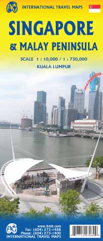
Stadsplattegrond Singapore & Malay Peninsula | ITMB
Goede stadsplattegrond van Singapore. Met register en suburban treinsysteem. De echt verre buitenwijken van deze megastad staan er niet op. Aan de achterzijde een overzichtskaart van het vasteland van Maleisië met een schaal van 730.000
Singapore is Asia as it should be: clean, modern, well-governed, efficient, and attractive. In this edition, which technically should be a first edition due to the transformation of the map into a double-sided one, includes for the first time, our detailed map of the part of Malaysia known as the Malay Peninsula, the ‘mainland’ portion of the country. Singapore and Malaysia are joined together by two motorway crossings and a train operated by Malaysian Railways. Side one of our map concentrates on the urbanized portion of Singapore and its attractions, with a large and detailed inset map of the country of Singapore. Side two covers all of the mainland portion of Malaysia to the Thai border and includes a large inset map of Kuala Lumpur. Motorways are common in Malaysia, and are portrayed on the map, as well as the older two-lane highway network. The map is not printed on paper, but on crushed stone mixed with recycled concrete. This is a relatively new technology, which is waterproof as well as durable and tear resistant. Stone paper is biodegradable, so is environmentally more friendly than plastic. ITMB is the only major map publishing house to use friendly ‘paper’.
€ 13,95
Verzendkosten: € 2,95Nu bestellen bij De Zwerver

