
Wandelatlas Tour du Mont Blanc | Cicerone
A booklet of all the mapping needed to complete the Tour du Mont Blanc (TMB), a spectacular circuit around Mont Blanc, Western Europe's highest mountain. Covering 170km (105 miles), the TMB takes around 11 days to walk from its official start at Les Houches (France), passing through Courmayeur (Italy) and Champex (Switzerland) before returning to France via the Chamonix valley. A well-serviced introduction to high-level mountain trekking for walkers with good levels of fitness, it can also be run, fastpacked or hiked in 5–9 days.
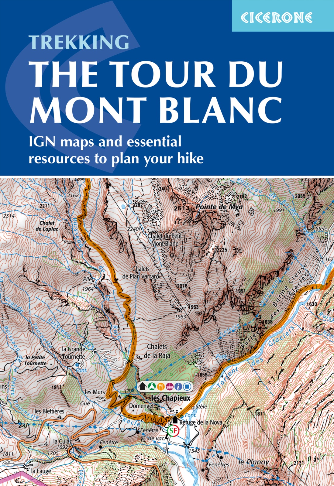
The full route line is shown on 1:25,000 IGN maps
The map booklet can be used to walk the TMB in either direction
Handy facilities planner, route summary tables and accommodation listings help you plan your itinerary
Includes urban maps of Les Houches, Les Contamines, Courmayeur, Champex and Chamonix
Alternative stages via Col de Tricot (Stage 1A) and Fenêtre d'Arpette (Stage 8A) are also provided
An accompanying Cicerone guidebook – Trekking the Tour du Mont Blanc – is also available
GPX files available to download
€ 21,95
Verzendkosten: € 2,95Specificaties
Merk:
n.b.
EAN:
Je bestelt bij:
De Zwerver
Categorie:
Subcategorie:
Maat:
n.v.t.
Materiaal:
n.v.t.
Levertijd:
Aantal beschikbaar:
n.b.
Verkoopprijs
€ 21,95
Prijzen vanaf:
n.v.t.
Verzendkosten:
€ 2,95
ISBN:
9781786312297
Editie:
27-05-2024
Uitgever:
Cicerone
Beschrijft het volgende gebied:
Europa - Frankrijk - Alpen - Mont Blanc - Haute Savoie
Taal:
Direct bestellen: