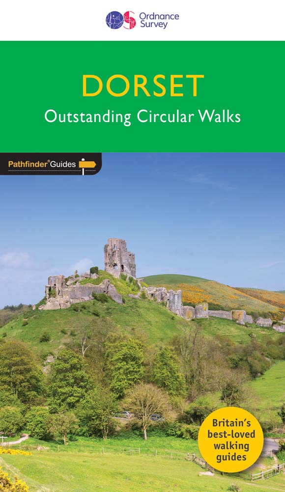
Wandelgids 011 Pathfinder Guides Dorset | Ordnance Survey
Wandelgids van een deel van Engeland. Deze gids bevat 28 dagwandelingen, variërend van korte tochten tot pittige dagtochten. De bijbehorende kaarten zijn uitstekend: men heeft de topografische kaarten van Ordnance Survey gebruikt waarop de route is ingetekend. Daarnaast praktische informatie over de wandeling en wat beschrijvingen van het gebied.
Each of the Pathfinder titles features 28 circular routes, all tried and tested by seasoned walkers. The routes range from extended strolls to exhilarating hikes, so there is something for everyone.
They also contain:
-Ordnance Survey mapping;
-background details of each area;
-details of refreshment stops and parking;
-walking safety advice; and
-information about walkers and the law
Dorset must rank as one of the most unspoilt counties in England. Dominating the landscape are the chalk downs open, sweeping, grassy uplands that stretch from the former forest lands of Cranborne Chase on the Wiltshire and Hampshire borders right across the middle of the county to the coast. The many ridge-top footpaths (including one starting from Cerne Abbas which ends with the Cerne Giant in all its glory) that cross these downs provide splendid walking and a succession of panoramic views.
€ 18,50
Verzendkosten: Zie website leverancierNu bestellen bij De Zwerver

