
Wandelgids 041 Pathfinder Guides Mid Wales | Ordnance Survey
Wandelgids van midden Wales. Deze gids bevat 28 dagwandelingen, variërend van korte tochten tot pittige dagtochten. De bijbehorende kaarten zijn uitstekend: men heeft de topografische kaarten van Ordnance Survey gebruikt waarop de route is ingetekend. Daarnaast praktische informatie over de wandeling en wat beschrijvingen van het gebied.
Explore Mid Wales over 28 walks with this walking guidebook from the Pathfinder series. Each walk is listed by distance and difficulty, and range from a family-friendly 4km (2.5 miles) to a challenging 20km (12 miles)
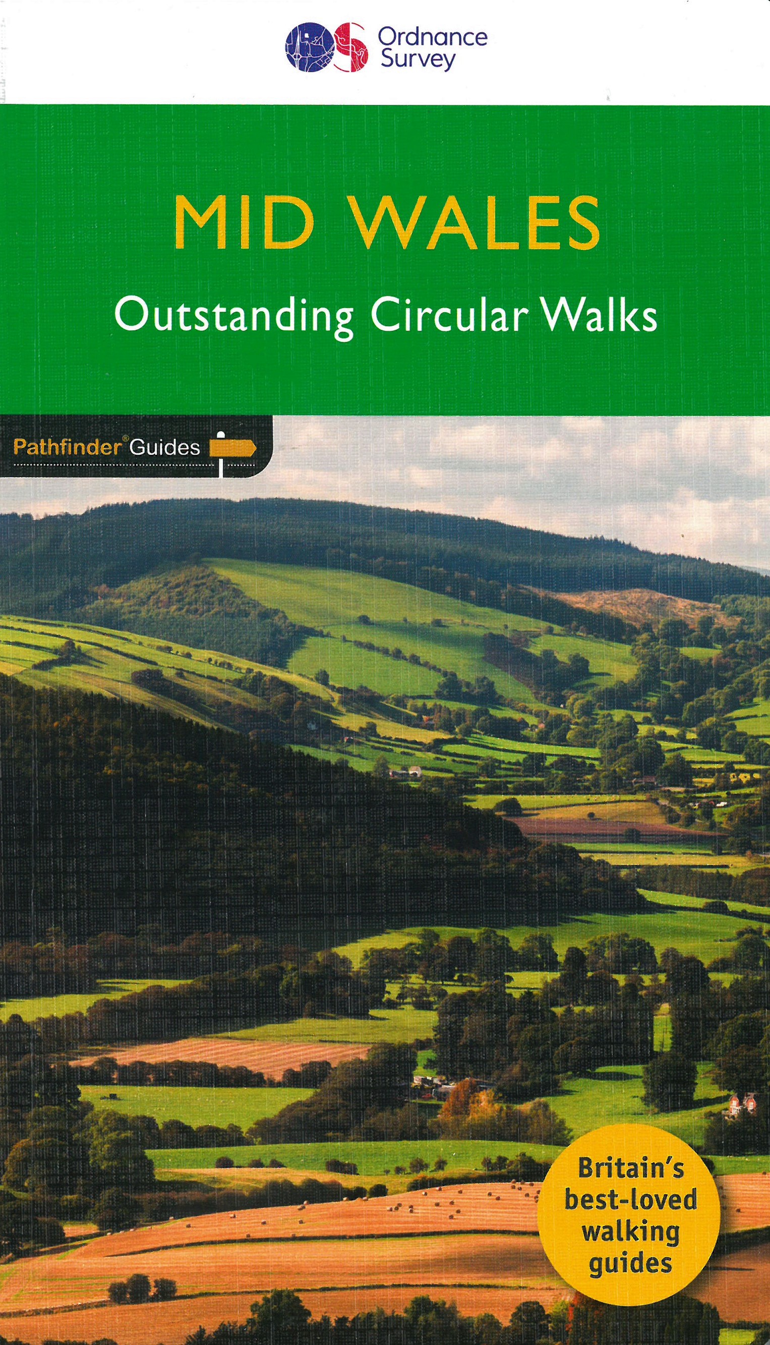
Often ignored in favour of the more popular Snowdonia and Brecon Beacons National Parks to the north and south, mid Wales still offers some stunning views and beautiful walks. Both coastal routes and upland walks are featured, and include Catti's Cave, Devil's Bridge and the Mynach Valley, The Claerwen Valley and the source of the river Severn
Each of the 28 circular walks has been created by experienced walkers, and includes a route description, extracts of the OS Explorer map for the route and key features and points of historical interest to look out for. Printed with weather-resistant covers featuring durable rounded corners, the Pathfinder Guides are Britain’s best-loved walking guides and are the perfect companion for country walking throughout Britain.
€ 18,50
Verzendkosten: € 2,95Specificaties
Merk:
n.b.
EAN:
Je bestelt bij:
De Zwerver
Categorie:
Subcategorie:
Maat:
n.v.t.
Materiaal:
n.v.t.
Levertijd:
Aantal beschikbaar:
n.b.
Verkoopprijs
€ 18,50
Prijzen vanaf:
n.v.t.
Verzendkosten:
€ 2,95
ISBN:
9780319090879
Editie:
11-09-2017
Uitgever:
Ordnance Survey
Beschrijft het volgende gebied:
Europa - Engeland - Wales
Taal:
Direct bestellen: