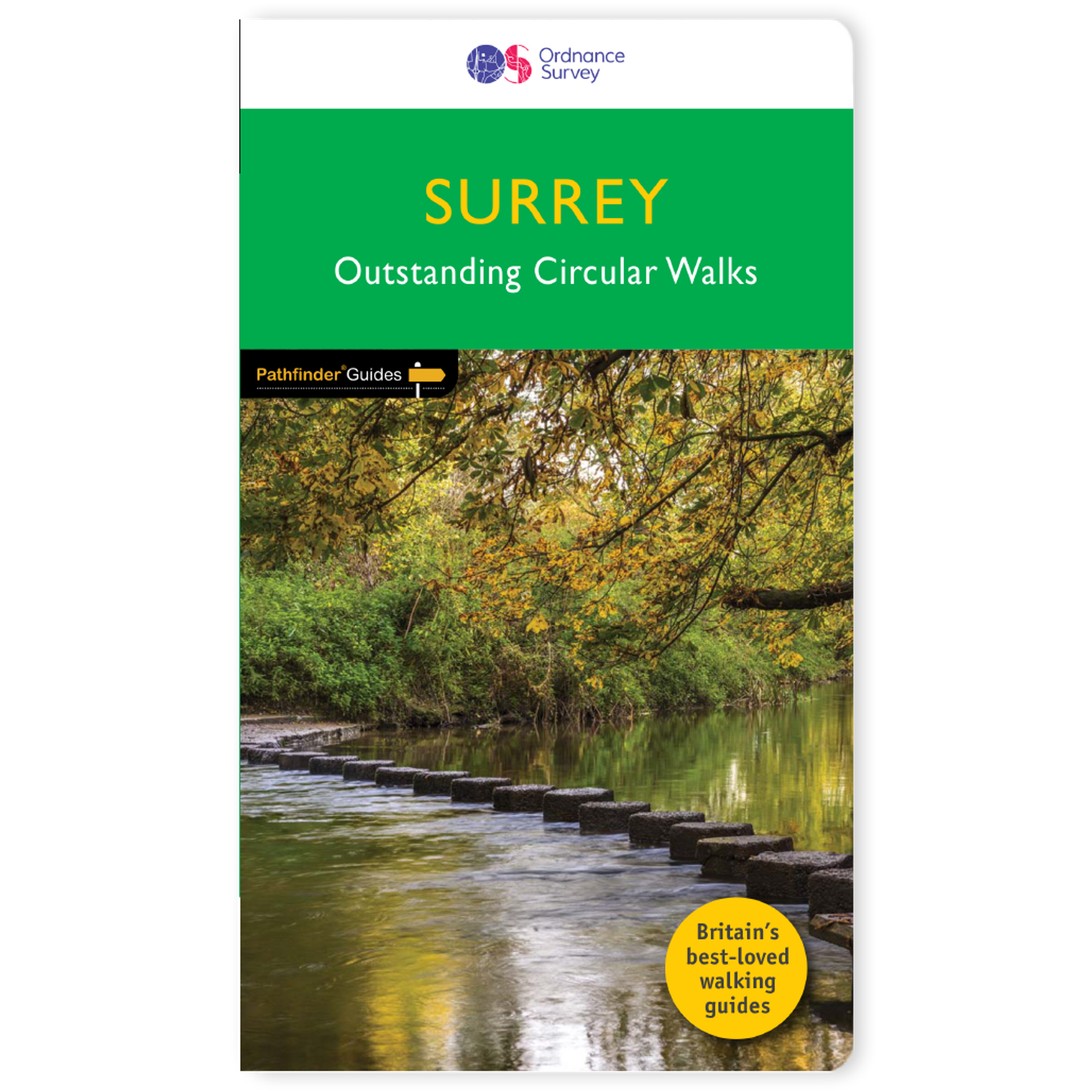
Wandelgids 065 Pathfinder Guides Surrey | Ordnance Survey
Fraaie, goed verzorgde wandelgidsjes met 28 wandelingen van max. een dag, (beginnend bij korte, eindigend bij langere wandelingen). Weergegeven op duidelijke topografische kaartjes (1:25.000). Bevat verder wetenswaardigheden en praktische informatie voor onderweg.
Areas covered include the North Downs Way and Box Hill, with all walks accompanied by GPS waypoints, Ordnance Survey maps and beautiful photography.
The Pathfinder Guide to Surrey Walks contains 28 fantastic circular walks across the county, much of which lies only a few miles away from the heart of London but which contains some of the country's most beaufiul landscapes, including the oldest untouched area of natural woodland in the UK and the rolling contours of the North Downs. Each walk in Pathfinder Guide to Surrey Walksis accompanied by clear, large-scale Ordnance Survey route maps and GPS waypoints to help you navigate your hike with ease. Exploring one of the most popular Home Counties, Pathfinder Guide to Surrey Walksguides the walker to some of the best walking destinations in the county, from Box Hill and Wisley to the Devil's Punch Bowl and the River Wey.
Away from the city, Pathfinder Guide to Surrey Walks presents a host of beautiful countryside walks that offer remarkable hikes with unspoilt landscapes accessible to walkers of all abilities. Pathfinder Guide to Surrey Walkstakes you through the North Downs and heathlands of western Surrey to locations made popular in Jane Austen's Emma and War of the Worlds by H. G. Wells. Inside you'll also find a wealth of helpful information accompanying each walk, including good pubs along the way, where to park before you start your walk and places of interest en route. Pathfinder Guides are Britain's best loved walking guides. They are the perfect companion for countryside walks throughout Britain. Each title features circular walks with easy-to-follow route descriptions, tried and tested by seasoned walkers and accompanied by beautiful photography and clear Ordnance Survey mapping. The routes range from extended strolls to exhilarating hikes, so there is something for everyone.
€ 18,50
Verzendkosten: Zie website leverancierNu bestellen bij De Zwerver

