
Wandelgids 008 Pathfinder Guides Kent | Ordnance Survey
Wandelgids van een deel van Engeland. Deze gids bevat 28 dagwandelingen, variërend van korte tochten tot pittige dagtochten. De bijbehorende kaarten zijn uitstekend: men heeft de topografische kaarten van Ordnance Survey gebruikt waarop de route is ingetekend. Daarnaast praktische informatie over de wandeling en wat beschrijvingen van het gebied.
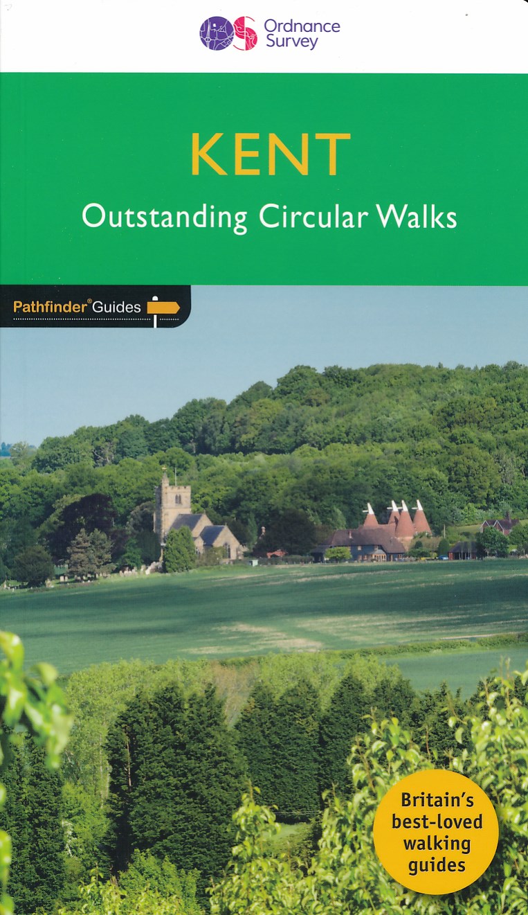
Walkers in Kent enjoy a number of long-distance footpaths, including the North Downs Way, Wealdway, Pilgrims' Way and Greensand Way, and sections of them are incorporated into several walks in this guide. Routes starting at Tenterden and Penshurst wind through a typical Kentish landscape, characterised by orchards, medieval churches and oast houses.
Deal and Sandwich, featured on another walk, were once centres for smugglers, while walks along the cliffs of Dover and Folkestone evoke historic maritime events. In contrast, Romney Marsh and the Swale have a wild and lonely beauty which evoke a more contemplative mood.
28 circular, graded walks all tried and tested by seasoned walkers. The routes range from extended strolls to exhilarating hikes, so there is something for everyone.
€ 18,50
Verzendkosten: € 2,95Specificaties
Merk:
n.b.
EAN:
Je bestelt bij:
De Zwerver
Categorie:
Subcategorie:
Maat:
n.v.t.
Materiaal:
n.v.t.
Levertijd:
Aantal beschikbaar:
n.b.
Verkoopprijs
€ 18,50
Prijzen vanaf:
n.v.t.
Verzendkosten:
€ 2,95
ISBN:
9780319090183
Editie:
08-08-2016
Uitgever:
Ordnance Survey
Beschrijft het volgende gebied:
Europa - Engeland - ♦ Kent
Taal:
Engels
Direct bestellen: