Wandelgids 087 Pathfinder Guides Northumberland | Ordnance Survey
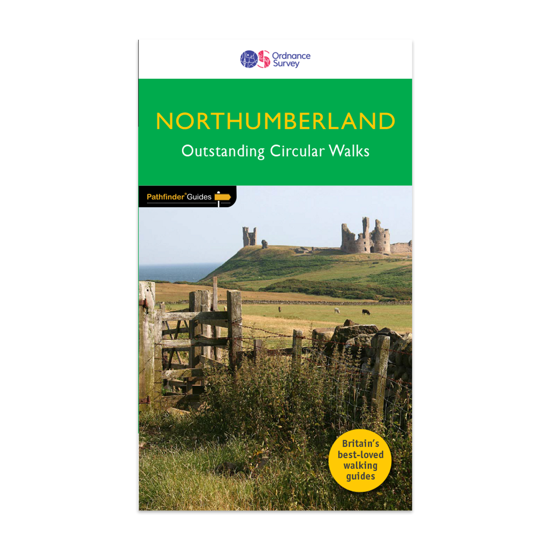
Pathfinder® Guide to Northumberland, featuring 28 outstanding walks designed for a range of abilities covering 180 miles of walking.
Features:
28 guided walks for a range of abilities
Large detailed Ordnance Survey map extracts
Key information such as parking and type of terrain
GPS waypoints for each route
Weather-resistant book cover
Durable rounded corners
This new guide to Northumberland has ten brand-new Pathfinder walks across the county. There are new short walks at Berwick-upon-Tweed, Almouth and Bellingham. There are new half-day walks in the Coquet Valley at Felton, in the Humbleton Hills from Wooler, exploring the countryside south of the River Tyne from Hexham, and taking you along the scenic Wansbeck Valley to Morpeth from Bothal. And there are new longer walks in Hulne Park, Alnwick; along the coast and inland from Bamburgh; and a lengthy but hugely enjoyable ramble in a circuit from Druridge Bay to Warkworth and a return via Amble along the Northumberland Coast Path/England Coast Path.
The other much-loved walks in the book feature circuits along the most impressive sections of Hadrian’s Wall; in the Northumberland National Park and the Cheviot Hills; and along stretches of the stunning Northumbrian coastline at Holy Island and Dunstanburgh Castle.
Walks are professionally authored and depicted with GPS waypoints, Ordnance Survey maps and beautiful photography.
€ 18,50
Verzendkosten: Zie website leverancierNu bestellen bij De Zwerver

