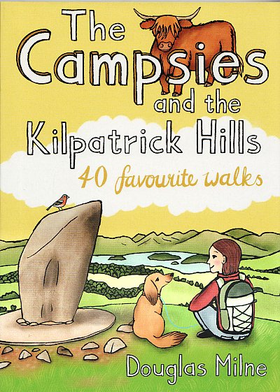
Wandelgids The Campsies and the Kilpatrick Hills | Pocket Mountains
Handige compacte wandelgids met 40 dagwandelingen. Deze gids bevat kleine kaartjes en leuke uitgebreide informatie over wat er langs de route te zien is. Goede wandelkaarten zijn echter we noodzakelijk voor deze tochten: de Ordnance Survey explorer maps of Landanger maps zijn zeer geschikt.
The Campsie Fells, along with the Kilpatrick, Kilsyth, Fintry and Gargunnock Hills, form a sprawling upland range which stretches eastwards from Dumbarton, passing to the north of the city of Glasgow and across the narrow waist of Scotland towards Stirling. It is often said that Glasgow is one of the easiest cities to get away from and the Campsies and theKilpatrick Hills, a few short miles north of the city, are the first port of call. This guide covers all of the major hills within both ranges, as well as low-level walks around and between the villages which lie on their perimeters.
Many of these 40 walks make use of both the West Highland Way and the John MuirWay which cut through the heart of this area.
€ 10,95
Verzendkosten: Zie website leverancierNu bestellen bij De Zwerver

