
Wandelgids The Clyde | Pocket Mountains
Handige compacte wandelgids met 40 dagwandelingen. Deze gids bevat kleine kaartjes en leuke uitgebreide informatie over wat er langs de route te zien is. Goede wandelkaarten zijn echter we noodzakelijk voor deze tochten: de Ordnance Survey explorer maps of Landanger maps zijn zeer geschikt.
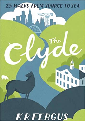
From source to sea, the River Clyde passes through some of southern Scotland's finest scenery. Rising in the shadow of the Lowther Hills, the country's third longest river winds through rolling Lanarkshire farmland and past historic market towns on its way to the fertile Clyde Valley and the former industrial heartlands of Scotland before it reaches the city of Glasgow and the Firth of Clyde. There is no better way to discover the wildlife, architecture and history of this area of Scotland than to walk.
Whatever your ability - walking at high or low level, following tough terrain or level paths - the 25 routes in this guide offer something for everyone.
€ 10,95
Verzendkosten: Zie website leverancierSpecificaties
Merk:
n.b.
EAN:
Je bestelt bij:
De Zwerver
Categorie:
Subcategorie:
Maat:
n.v.t.
Materiaal:
n.v.t.
Levertijd:
Aantal beschikbaar:
n.b.
Verkoopprijs
€ 10,95
Prijzen vanaf:
n.v.t.
Verzendkosten:
Zie website leverancier
ISBN:
Editie:
Uitgever:
Beschrijft het volgende gebied:
Europa - Schotland -
Taal:
Direct bestellen: