
Wandelgids The Dee | Pocket Mountains
Handige compacte wandelgids met 40 dagwandelingen. Deze gids bevat kleine kaartjes en leuke uitgebreide informatie over wat er langs de route te zien is. Goede wandelkaarten zijn echter we noodzakelijk voor deze tochten: de Ordnance Survey explorer maps of Landanger maps zijn zeer geschikt.
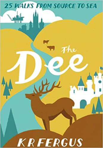
Bounded by the highest mountains in Britain, the majestic River Dee winds its way through some of Scotland's most celebrated scenery. From its source in the shadow of Ben Macdui and Braeraich high in the Cairngorm mountains, the Dee cascades over waterfalls and meanders through the remnants of the ancient Caledonian forest before making its way to Aberdeen and the North Sea. There is no better way to discover the wildlife, architecture and history of this area of Scotland than to walk.
Whatever your ability - walking at high or low level, following tough terrain or level paths - the 25 routes in this guide offer something for everyone.
€ 10,95
Verzendkosten: Zie website leverancierSpecificaties
Merk:
n.b.
EAN:
Je bestelt bij:
De Zwerver
Categorie:
Subcategorie:
Maat:
n.v.t.
Materiaal:
n.v.t.
Levertijd:
Aantal beschikbaar:
n.b.
Verkoopprijs
€ 10,95
Prijzen vanaf:
n.v.t.
Verzendkosten:
Zie website leverancier
ISBN:
Editie:
Uitgever:
Beschrijft het volgende gebied:
Europa - Schotland -
Taal:
Direct bestellen: