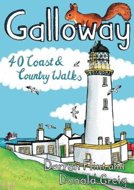
Wandelgids Galloway | Pocket Mountains
Handige compacte wandelgids met 40 dagwandelingen. Deze gids bevat kleine kaartjes en leuke uitgebreide informatie over wat er langs de route te zien is. Goede wandelkaarten zijn echter we noodzakelijk voor deze tochten: de Ordnance Survey explorer maps of Landanger maps zijn zeer geschikt.
Made up of the old counties of Wigtownshire and The Stewartry, Galloway covers a vast swathe of Scotland's quiet southwest corner. This under-discovered area offers 260km of coast, full of sandy beaches and towering cliffs, lonely heather-clad moors and quiet hills. Add to this plenty of wildlife, a rich artistic heritage, strong spiritual influences and a climate kissed by the warming Gulf Stream, and you have a region beckoning to be visited.
€ 10,95
Verzendkosten: Zie website leverancierNu bestellen bij De Zwerver
Specificaties
Merk:
n.b.
EAN:
Je bestelt bij:
De Zwerver
Categorie:
Subcategorie:
Maat:
n.v.t.
Materiaal:
n.v.t.
Levertijd:
Aantal beschikbaar:
n.b.
Verkoopprijs
€ 10,95
Prijzen vanaf:
n.v.t.
Verzendkosten:
Zie website leverancier
ISBN:
Editie:
Uitgever:
Beschrijft het volgende gebied:
Europa - Schotland -
Taal:
Direct bestellen:

