
Wandelgids The Kerry Way | Rucksack Readers
Beschrijving van de Kerry Way, een bekend lange afstands pad in Ierland. Goede beschrijvingen / Engels.
"An eye-catching, colourful publication with clear directions" - Irish Mountain Log
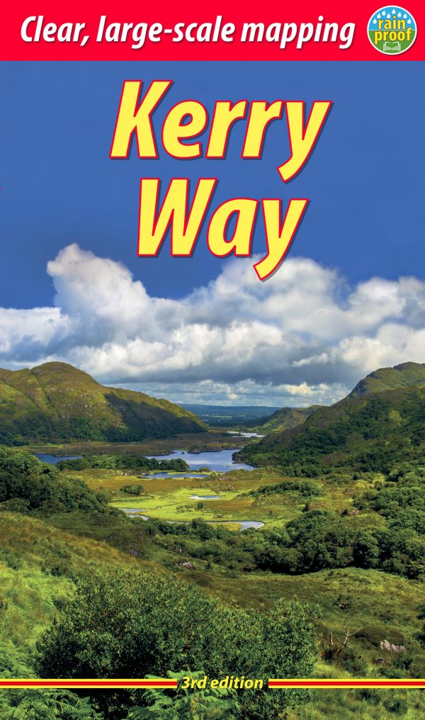
The Kerry Way runs for about 130 miles (210 km) through Ireland’s most spectacular mountain landscapes, starting and finishing in the town of Killarney. Dramatic peaks and glens, wild moorlands, lakes and windswept passes blend magnificently with extensive coastal panoramas. The complete walk takes about nine days, but it can easily be shortened. The third edition of our guidebook was fully revised in 2021 with updates to the route options and the step-by-step directions. It has customised mapping at 1:45,000, a better scale than the OSI Discovery maps, and it contains 100 colour photos, many of them new.
This book is in our lighter, more pocket-friendly format, with perfect binding instead of concealed wiro.
This guidebook contains all you need to plan and enjoy the Kerry Way:
the Way in sections, with summaries of distance, terrain and where to find food and drink
concise background on geology, scenery and wildlife
a special feature on Carrauntoohil, Ireland’s highest peak
planning information for travel by car, train, bus or plane
in full colour, with 103 photos
detailed mapping of the Kerry Way on 27 pages (1:45,000)
on rainproof paper throughout.
€ 22,50
Verzendkosten: Zie website leverancierSpecificaties
Merk:
n.b.
EAN:
Je bestelt bij:
De Zwerver
Categorie:
Subcategorie:
Maat:
n.v.t.
Materiaal:
n.v.t.
Levertijd:
Aantal beschikbaar:
n.b.
Verkoopprijs
€ 22,50
Prijzen vanaf:
n.v.t.
Verzendkosten:
Zie website leverancier
ISBN:
Editie:
Uitgever:
Beschrijft het volgende gebied:
Europa - Ierland -
Taal:
Direct bestellen: