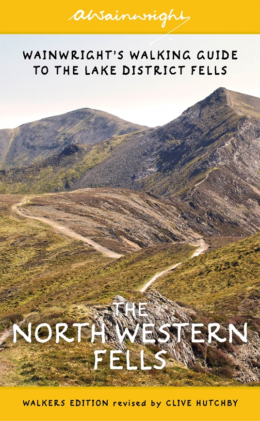
Wandelgids The North Western Fells | Lake district | Frances Lincoln
One name above all others has become associated with walking in the Lake District: A. Wainwright, whose seven-volume Pictorial Guide to the Lakeland Fells, first published in 1955–66, has become the definitive guidebook. Wainwright’s meticulously hand-drawn maps, diagrams and drawings take you up the 214 principal hills and mountains of the Lake District, describing the main routes of ascent from different starting points, as well as lesser-known variants, showing the summit viewpoint panoramas and the ridge routes that can be made to create longer walks. The North Western Fells, Book Six of Wainwright’s Walking Guide, covers the area between the rivers Derwent and Cocker, bordered by Crummock Water and Buttermere to the west and by Bassenthwaite Lake and Derwent Water to the east.
€ 23,50
Verzendkosten: € 2,95Nu bestellen bij De Zwerver

