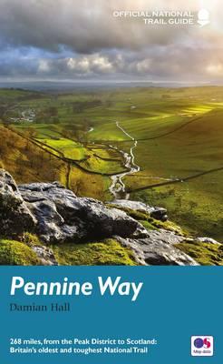
Wandelgids Pennine Way | Aurum Press
Goede beschrijving van de aantrekkelijke route. Kaartmateriaal van Ordnance Survey - de Engelse topografische dienst op een schaal van 1:25.000. Praktische info voor overnachten ed. niet altijd uitgebreid, maar die is op de site van de Ramblers (de engelse wandelorganisatie) te vinden.
The Pennine Way is Britain's toughest long-distance path, running 268 miles from Derbyshire's Peak District up through the Yorkshire Dales, Cumbria and Northumberland into the Scottish Borders. Until now, Aurum's Trail Guide has covered it in two volumes, where our competitors publish one, and those volumes have been bulked out with circular day walks which no-one essaying the arduous task of walking even a stretch of the Path will realistically want to divert to do.
Now, Damian Hall, one of Country Walking's senior contributors, has written a completely new guide, giving all the information the modern walker requires: GPS references, gradients of each section, public transport links, extensive details of the wildlife and flora to be seen along the way, and a guide for occasional walkers to the real highlight stretches of the path.
€ 20,95
Verzendkosten: € 2,95Nu bestellen bij De Zwerver

