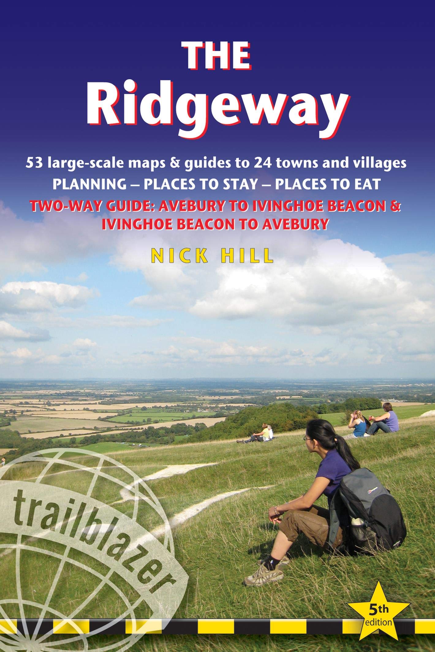
Wandelgids The Ridgeway | Trailblazer Guides
Goede wandelgids waarin met veel details alle etappes zijn beschreven. Tevens informatie over overnachtingen en openbaar vervoer.
This is an all-in-one hiking guide to The Ridgeway, an 87-mile trail that partly follows England's oldest road which dates from prehistoric times. Easily accessible from London, this is not a difficult walk and the rewards are many: rolling countryside, Iron Age forts, Neolithic burial mounds, white horses carved into the chalk downs and picturesque English villages. The guide includes places to stay, places to eat, sights and comprehensive transport options for day trips.
Practical guide to walking the whole of the Ridgeway National Trail. The Ridgeway path begins near Avebury and runs 87 miles across the high chalk downs of Wiltshire, into the Thames Valley and on to the Chiltern Hills of Buckinghamshire, finishing at Ivinghoe Beacon near Aylesbury. Includes: Ridgeway map, 53 large-scale maps (1:20,000), guides to 24 towns and villages. Detailed accommodation: campsites, B&Bs, hotels, hostels and bunkhouses. Places to eat: cafes, teashops, pubs and restaurants. Detailed public transport information. Itineraries for all walkers including day Ridgeway walks. Downloadable GPS waypoints. Colour pictures including 4 paqe flower and butterfly guide.
€ 19,95
Verzendkosten: € 2,95Nu bestellen bij De Zwerver

