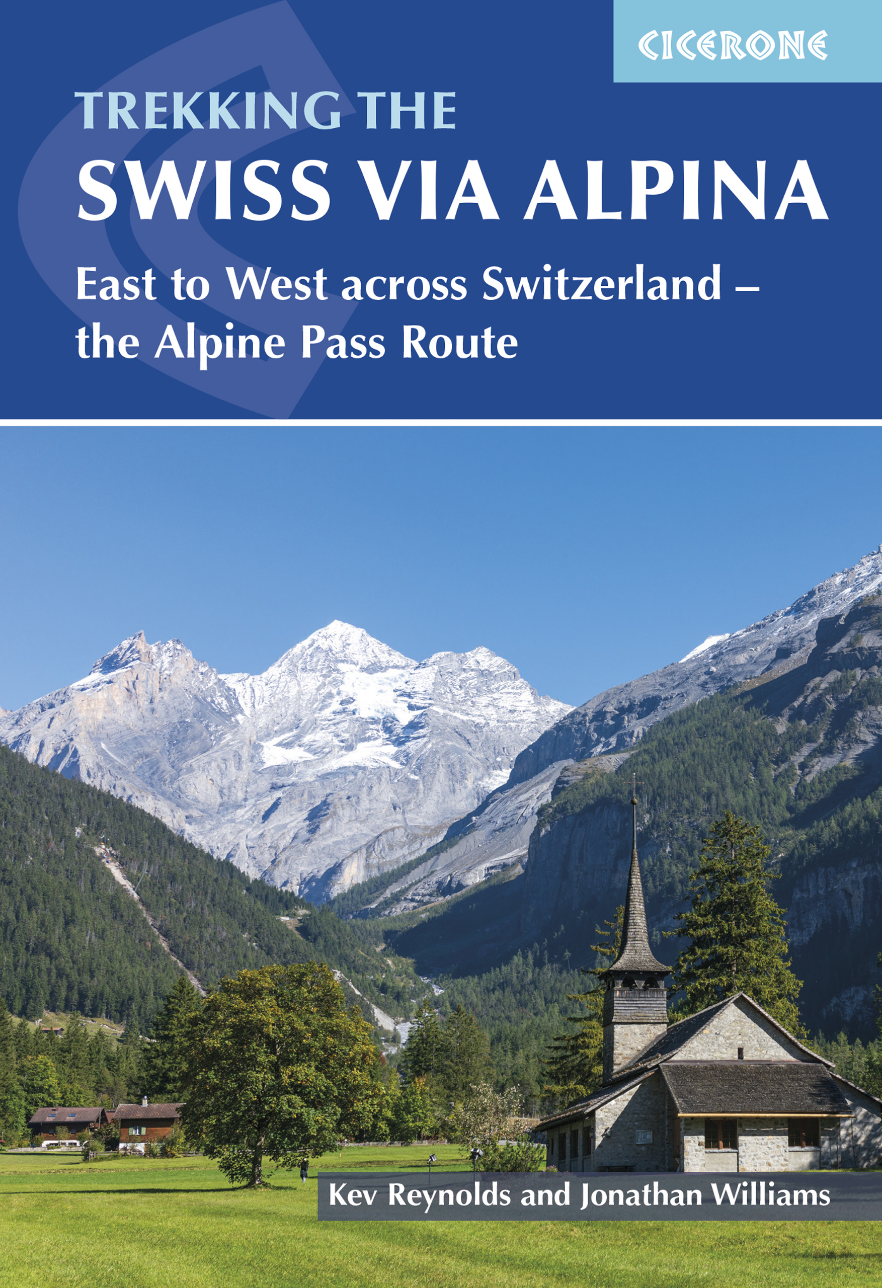
Wandelgids Swiss Alpine Pass Route - Via Alpina | Cicerone
Uistekende wandelgids van de Via Alpina dwars door Zwitserland.
A guidebook to the Swiss Via Alpina, a 400km (250 mile) trek east-to-west across Switzerland, from Sargans to Montreux on Lac Leman (Lake Geneva). Previously the Alpine Pass Route, the Via Alpina (VA) is a fully waymarked Swiss national trail that involves nearly 23,000m of ascent and descent over roughly 3 weeks of trekking - a serious challenge suitable for experienced trekkers. The main route is described in 19 stages of 12-29km (8-18 miles), as well as a 27km (17 mile) prologue stage from Liechtenstein and detour stages via Lenk and Gsteig.
Comprehensive route description is accompanied by 1:100,000 mapping, route profiles, facilities listings and advice on safety, transport, accommodation and language. Crossing 16 Alpine passes, the VA showcases some of the Switzerland's most breathtaking mountain landscapes, from flower-strewn meadows to snow-capped peaks including the majestic Todi, Titlis, Wetterhorn, Eiger, Jungfrau and Wildstrubel. Accommodation options range from mountain huts to hotels and inns, with camping available at licensed sites along the route.
Dorpen en Steden
Sargans, Elm, Linthal, Altdorf, Engelberg, Meiringen, Grindlewald, Lauterbrunnen, Kandersteg, Adelboden, Lenk, Gstaad, Col des Mosses, Montreux
€ 26,50
Verzendkosten: Zie website leverancierNu bestellen bij De Zwerver

