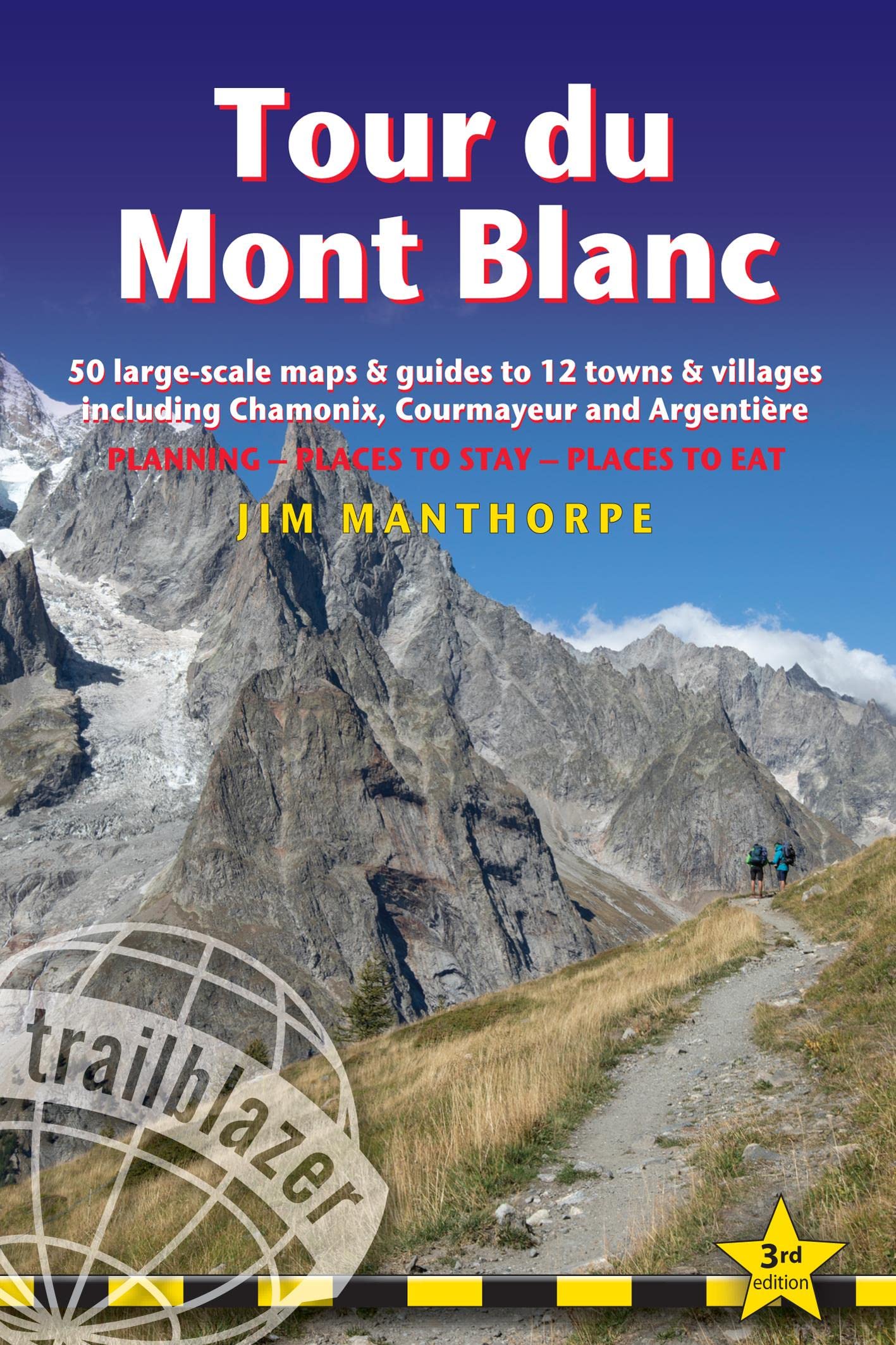
Wandelgids Tour Du Mont Blanc | Trailblazer Guides
Goede wandelgids van deze beroemde route. Veel informatie vooraf en een zeer gedegen duidelijke beschrijving van de te volgen route. Opvallend blijft dat deze uitgever geen gebruik van gewone detailkaarten, maar van getekende schetskaarten waarbij ze de nadruk kunnen leggen op opvallende details langs de route als een markant punt van een boom of rots.
At 4810m (15,781ft), Mont Blanc is the highest mountain in western Europe, and one of the most famous mountains in the world. The trail (105 miles, 168km) that circumnavigates the massif, passing through France, Italy and Switzerland, is the most popular long distance walk in Europe.
62 maps – 12 town and village plans and 50 large-scale walking maps – at 1:20,000 – showing route times, gradients, where to stay, interesting features
Itineraries for all walkers – whether walking the 105 mile (168km) route in its entirety, or sampling the highlights on day walks and short breaks
Practical information for all budgets – where to stay (campsites, gîtes, hostels, B&Bs, lodges and hotels), where to eat, what to see
Comprehensive background information – the Alps, flora and fauna, the history of mountaineering and trekking in the region and the conquest of Mont Blanc in 1786 by Bourrit and Balmat
Full public transport information – for all access points
Climbing Mont Blanc – practical information, guides, the route to the top
€ 23,95
Verzendkosten: Zie website leverancierNu bestellen bij De zwerver

