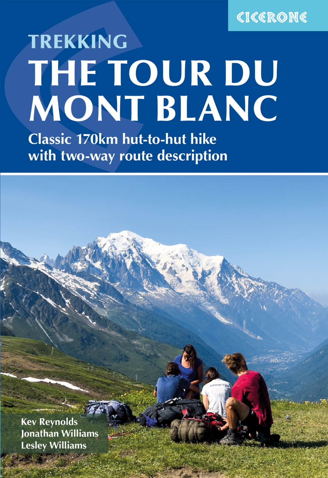
Wandelgids Trekking the Tour du Mont Blanc | Cicerone
Uitstekende wandelgids die in etappes de route nauwkeurig beschijft; ook de zijtakken en alternatieve routes koman aan bod. Kaarten zijn schetsmatig en in onze ogen onvoldoende bij slechte weersomstandigheden. Wij raden dan ook om er losse kaarten bij te kopen.
A guidebook to hiking the Tour du Mont Blanc (TMB), a spectacular circuit around Mont Blanc, Western Europe's highest mountain. Covering 170km (105 miles), the TMB takes around 11 days to walk from its official start at Les Houches (France), passing through Courmayeur (Italy) and Champex (Switzerland) before returning to France via the Chamonix valley. A well-serviced introduction to high-level mountain trekking for walkers with good levels of fitness, it can also be run, fastpacked or hiked in 5–9 days.
The route is described in both directions in 11 daily stages between 7 and 21km (5–13 miles) in length. Variant routes and alternative stages are also provided, giving the option of visiting cols, refuges and viewpoints not included on the official TMB route.
Contains step-by-step description of the route alongside 1:100,000 maps
Handy facilities planner, route summary tables and accommodation listings help you plan your itinerary
Includes transport info, a French–English glossary, notes on local history and sites of interest
An accompanying map booklet, containing 1:25,000 IGN mapping and route line, is available separately from Cicerone
GPX files available to download
€ 25,95
Verzendkosten: € 2,95Nu bestellen bij De Zwerver

