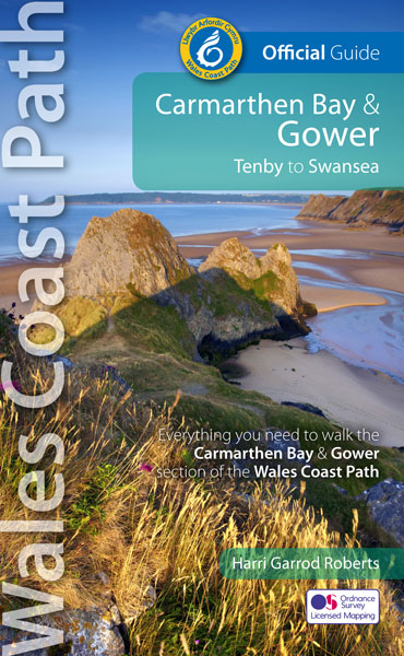
Wandelgids Wales Coast Path Carmarthen Bay & Gower | Northern Eye Books
Official Guide: Wales Coast Path: Carmarthen Bay & Gower
One of seven Official Guides to the Wales Coast Path
The Carmarthen Bay and Gower section of the Wales Coast Path runs for 120 miles/193 kilometres between the popular seaside town of Tenby, via Amroth on the eastern edge of the Pembrokeshire Coast National Park, to Swansea, on the landward side of the Gower Peninsula.
This Official Guide splits the route into 12 convenient day sections, each of about 10-17 miles / 16-27 kilometres. It contains everything local and long-distance walkers need to enjoy the path and includes:
An overview of Carmarthen Bay and Gower with dedicated history and wildlife sections
Twelve day-walk sections with detailed route descriptions and full, enhanced Ordnance Survey mapping
Distance charts, section overviews, background information and interpretation of places of interest
Stunning professional photographs throughout
Information on accommodation, public transport, local information, weather, and tidal links.
Contents
Wales Coast Path: Discover the shape of a nation
Wales Coast Path: An 870-mile coastal adventure
The Best of Carmarthen Bay & Gower
Carmarthen Bay & Gower: Part of the Wales Coast Path
Walking the Carmarthen Bay & Gower Coast – map and distance chart
Day Sections
A brief history of Carmarthen Bay & Gower
Wildlife in Carmarthen Bay & Gower
The Carmarthen Bay & Gower Coast Path
Day Section 1: Tenby to Pendine
Day Section 2: Pendine to St Clears
Dylan Thomas’ ‘New Walk’
Medieval Laugharne
Day Section 3: St Clears to Llansteffan
Day Section 4: Llansteffan to Carmarthen
Dylan Thomas country
Day Section 5: Carmarthen to Kidwelly
Ferryside
Day Section 6: Kidwelly to Burry Port
Sand, silt and shipwrecks
Day Section 7: Burry Port to Loughor
Monks, tinplate and golf
Day Section 8: Loughor to Llanmadoc
Day Section 9: Llanmadoc to Rhossili
Burry Holms
Day Section 10: Rhossili to Oxwich
Day Section 11: Oxwich to Caswell Bay
Day Section 12: Caswell Bay to Swansea Marina
The Mumbles
Welsh Coastal Place Names
Visitor Information
€ 22,50
Verzendkosten: € 2,95Nu bestellen bij De Zwerver

