
Wandelgids Walking in the Briançonnais | Cicerone
Handige duidelijke wandelgids van een mooi wandelgebied. De routes zijn accuraat beschreven met praktische informatie erbij. Kaartmateriaal is redelijk, soms wat schetsmatig. In berggebieden zijn wandelkaarten wel belangrijk! Bij de routes worden de juiste kaartnummers gegeven.
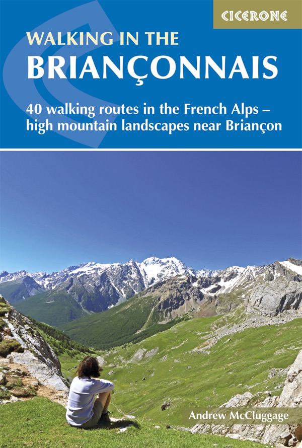
This guidebook presents 40 walks exploring the area around Briançon in France. The walks are divided into 6 sections covering the valleys of Clarée, Cerveyrette, Ayes, Durance and Guisane, as well as the area around Vallouise and Montgenèvre. The walks are circular and range in distance from 4 to 21 km. Graded easy to very hard, there is a walk to suit all abilities.
Dominated on all sides by jagged peaks, and perched on a rocky spur at the nucleus of five beautiful valleys, the city of Briançon lies almost at the southernmost tip of the main Alpine range. The Briançonnais, the surrounding region to which it gives its name, is a stunning mountain wilderness packed with everything one would expect from a high alpine environment - snow-capped peaks, green valleys and pastures filled with the sound of cow bells, sparkling alpine lakes, an abundance of wild flowers and a labyrinth of paths available to walkers.
As well as maps and detailed route descriptions the guidebook provides advice on when to go, what to take and the best bases for exploring the region. There are detailed notes on wildlife and history and information on the many hill forts in the area.
Dorpen en steden
Briançon, La Grave, Le Monetier-les-Bains, Montgenèvre, Névache, Vallouise
€ 23,95
Verzendkosten: € 2,95Specificaties
Merk:
n.b.
EAN:
Je bestelt bij:
De Zwerver
Categorie:
Subcategorie:
Maat:
n.v.t.
Materiaal:
n.v.t.
Levertijd:
Aantal beschikbaar:
n.b.
Verkoopprijs
€ 23,95
Prijzen vanaf:
n.v.t.
Verzendkosten:
€ 2,95
ISBN:
9781852848880
Editie:
04-05-2018
Uitgever:
Cicerone
Beschrijft het volgende gebied:
Europa - Frankrijk - Alpen - Queyras
Taal:
Direct bestellen: