
Wandelgids Wicklow Way | Rucksack Readers
Uitgevoerd in de vorm van een klapper, met ringband geeft deze gids een goede beschrijving van de lange afstands route. De kaarten zijn schetsmatig maar wel duidelijk.
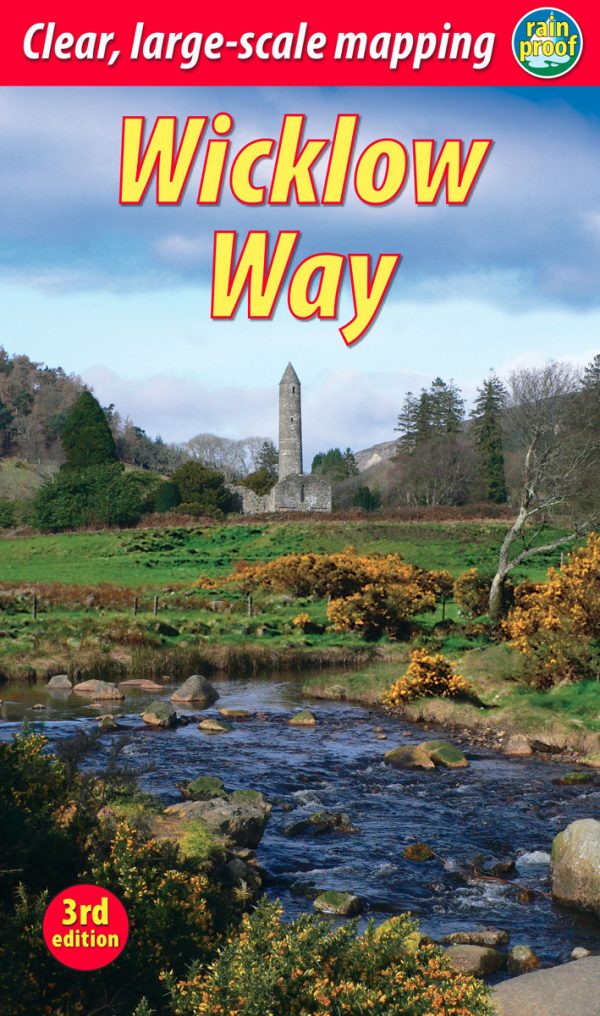
The Wicklow Way is Ireland’s first and most popular Waymarked Way, running between Marlay Park (Dublin) and Clonegal, 82 miles (132 km) to the south. It offers varied and scenic walking on the flanks of the rugged Wicklow mountains with loughs and waterfalls, passing historic buildings and hospitable villages. Much of the route lies over 1600 feet (500 metres) giving glorious views. Lower sections run through forests and farmland, over a mixture of tracks, roads and pathways rich in wildlife.
Our third edition is based on a research trip made in 2008, further revised in 2011, 2015, 2017 and 2019. It has many route updates, extra photographs and it explains new options for accommodation.
This guidebook contains all you need to plan and enjoy the Wicklow Way:
detailed route description, updated in 2019, with distance, terrain and food and drink
the secrets of how to book accommodation to avoid walking extra distances
concise background on history, geology and wildlife
extended 6-page feature on the monastic city of Glendalough
planning information for travel by car, train, bus or plane
in full colour, with 80 photographs.
drop-down map of the Wicklow Way in five panels (1:100,000)
on rainproof paper throughout.
€ 19,95
Verzendkosten: Zie website leverancierSpecificaties
Merk:
n.b.
EAN:
Je bestelt bij:
De Zwerver
Categorie:
Subcategorie:
Maat:
n.v.t.
Materiaal:
n.v.t.
Levertijd:
Aantal beschikbaar:
n.b.
Verkoopprijs
€ 19,95
Prijzen vanaf:
n.v.t.
Verzendkosten:
Zie website leverancier
ISBN:
Editie:
Uitgever:
Beschrijft het volgende gebied:
Europa - Ierland -
Taal:
Direct bestellen: