
Wandelgids Wiltshire | Pocket Mountains
Handige compacte wandelgids met 40 dagwandelingen. Deze gids bevat kleine kaartjes en leuke uitgebreide informatie over wat er langs de route te zien is. Goede wandelkaarten zijn echter we noodzakelijk voor deze tochten: de Ordnance Survey explorer maps of Landanger maps zijn zeer geschikt.
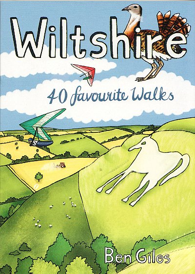
The enigmatic Neolithic standing stones at Stonehenge and Avebury first drew footsore pilgrims to this landlocked area of Southern England more than 4000 years ago. Today there are scores of waymarked footpaths, bridleways and byways which connect the rolling downland, verdant valleys, white chalk horses, ancient settlements and vibrant historic towns of the 'great green county' of Wiltshire. This guide contains 40 circular routes which make the most of that network.
Most walks can be completed inside two or three hours, though some will require half a summer's day, with a few full-day routes along the downland ridges.
€ 10,95
Verzendkosten: € 2,95Specificaties
Merk:
n.b.
EAN:
Je bestelt bij:
De Zwerver
Categorie:
Subcategorie:
Maat:
n.v.t.
Materiaal:
n.v.t.
Levertijd:
Aantal beschikbaar:
n.b.
Verkoopprijs
€ 10,95
Prijzen vanaf:
n.v.t.
Verzendkosten:
€ 2,95
ISBN:
9781907025884
Editie:
2022
Uitgever:
Pocket Mountains
Beschrijft het volgende gebied:
Europa - Engeland - South West England
Taal:
Direct bestellen: