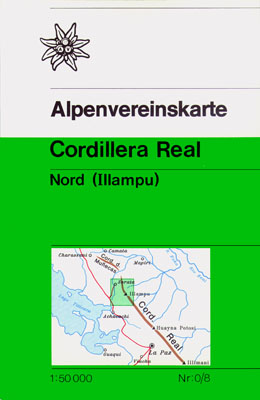
Wandelkaart 0/8 Alpenvereinskarte Cordillera Real - Nord (Illampu) ( Bolivia ) | Alpenverein
Darstellung: Luftbilder vom "Instituto Geográfico Militar", La Paz.
photogrammetrische Auswertung des Alpenvereins.
Höhenlinienabstand: 40m
Anzahl der Farben: 6
Format des Karteninhalts: 50cm x 67cm
Gletscherstand: 1963
€ 16,95
Verzendkosten: € 2,95Nu bestellen bij De Zwerver
Specificaties
Merk:
n.b.
EAN:
Je bestelt bij:
De Zwerver
Categorie:
Subcategorie:
Maat:
n.v.t.
Materiaal:
n.v.t.
Levertijd:
Aantal beschikbaar:
n.b.
Verkoopprijs
€ 16,95
Prijzen vanaf:
n.v.t.
Verzendkosten:
€ 2,95
ISBN:
9783937530666
Editie:
01-12-1987
Uitgever:
Alpenverein
Beschrijft het volgende gebied:
Zuid-Amerika - Bolivia -
Taal:
Duits
Direct bestellen:

