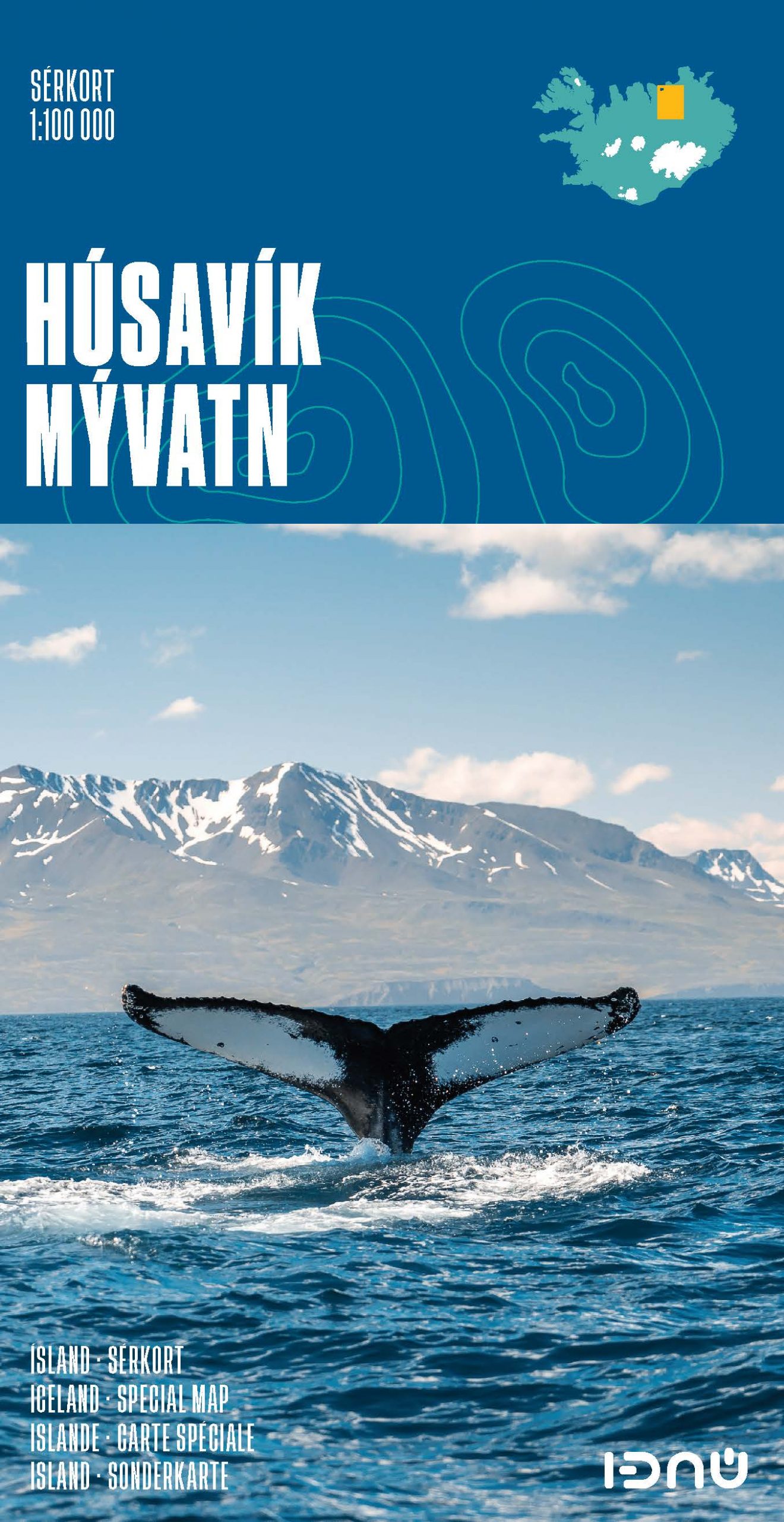
Wandelkaart 4 Husavik - Mývatn - Muggenmeer IJsland | Ferdakort
Gedetailleerde wandelkaart van het zuidwestelijke deel van IJsland, met hoogtelijnen, wandelpaden (gemarkeerd en niet gemarkeerde), allerlei topografische details. Deze kaart bestrijkt het gebied in het noordoosten van IJsland.
High-quality shaded-relief map of a popular region in Iceland. It includes the town of Húsavík, the Aðaldalur valley and the Mývatn area, as the well as the Jökulsárgljúfur National Park. Provides up-to date road information and containsa vast number of place-names.
Size: 66 x 78 cm / Weight: 74 g.
Languages: Icelandic, English, German and French
€ 21,50
Verzendkosten: € 2,95Nu bestellen bij De Zwerver
Specificaties
Merk:
n.b.
EAN:
Je bestelt bij:
De Zwerver
Categorie:
Subcategorie:
Maat:
n.v.t.
Materiaal:
n.v.t.
Levertijd:
Aantal beschikbaar:
n.b.
Verkoopprijs
€ 21,50
Prijzen vanaf:
n.v.t.
Verzendkosten:
€ 2,95
ISBN:
9789979675136
Editie:
01-12-2016
Uitgever:
Ferdakort
Beschrijft het volgende gebied:
Europa - IJsland -
Taal:
Engels
Direct bestellen:

