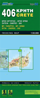
Wandelkaart 406 Crete - Kreta | Road Editions
Uitstekende wandelkaart van een deel van Kreta. De kaart is gedrukt op watervast en onverscheurbaar papier. hierdoor gaat deze veel langer mee!
De wandelkaart heeft alle noodzakelijke details voor wandelen of fietsen: naast de topografische informatie als hoogtelijnen, alle plaatsnamen (zowel Grieks als Europees schrift), het wegennet, rivieren en stroompjes, nationale parken etc is er ook veel informatie over de toeristische aspecten als stranden, kloosters, campings en afstanen tussen dorpen of steden.
Voor de wandelaars is relevant dat de E4, het bekende lange-afstandswandelpad, staat ingetekend alsmede andere wandelroutes. Sporadisch staan ook fietsroutes ingetekend.
ROAD Cartography map, was created upon intensive fieldwork and using GIS (Geographical Information Systems) software, which results all geographic information with great accuracy. Contains every single road, trails, special routes for cycling and scenic routes, villages, attractions and plenty of other useful information. This ist the most handy and reliable map that is labeld under the quality name of ROAD cartopraphy.
€ 9,95
Verzendkosten: € 2,95Nu bestellen bij De Zwerver

