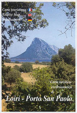
Wandelkaart A03 Loiri - Porto San Paolo | Abies
Mooie wandelkaart van het noord oostelijk deel van Sardinië, onder Olbia.
The Commune of Loiri - Porto San Paolo has a very particular conformation. Its area, in fact, stretches in a very distinctive way between coast and hinterland. The village of Loiri has developed around a small enclosure of shepherds even if this area was continuously inhabited during the Nuraghe period and in the Punic-Roman age. On the mountain of Loiri, at a height of 500m. it is still possible to catch a glimpse of some ruins that go back to the Nuraghe period… The landscape of the coast is as impressive as the one of the hinterland: a series of deep long creeks with beaches of white sand and pine-woods behind the dunes, an ever transparent green emerald-coloured sea. The grand massive structure of the Tavolara island dominates this landscape, with its mountain of snow-white rock emerging out of the sea at a height of almost 600 meters…
€ 12,95
Verzendkosten: € 2,95Nu bestellen bij De Zwerver

