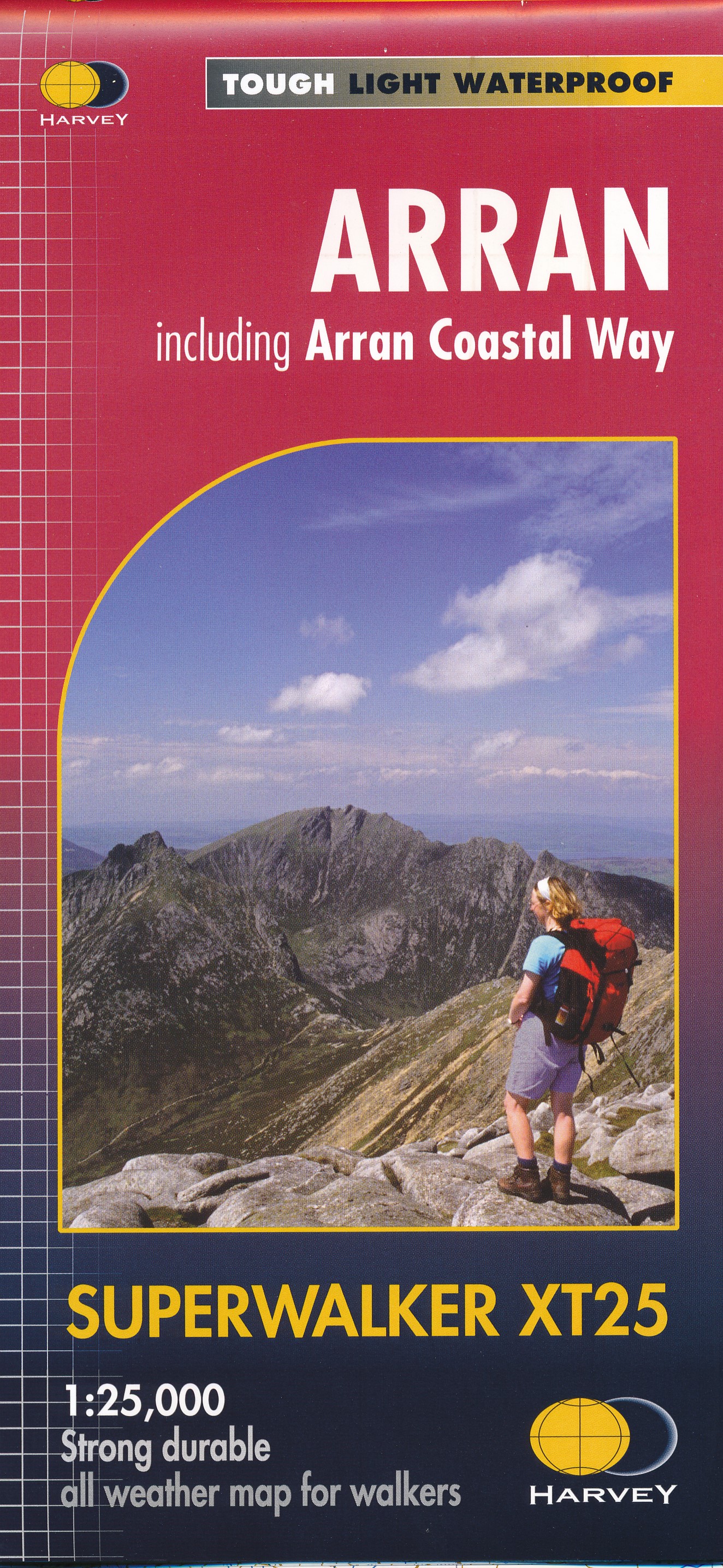
Wandelkaart Arran including Arran Coastal Way | Harvey Maps
Een bijzonder handige kaart van dit gebied. Op waterafstotend papier met veel details.
Features the renowned Goat Fell, A'Chir ridge, Beinn Bharrain, Glen Sannox & Glen Rosa.
Detailed map for hillwalkers of the whole island at the popular 1:25,000 scale.
The 100km (62 miles) Arran Coastal Way is also shown. The route links the coastline of the island with the villages and the stunning scenery Arran has to offer.
Includes Gaelic-English glossary and information on local archaeological and historical sites.
Landscape and wildlife information from the National Trust for Scotland
Includes 4 Corbetts and 1 Graham.
Tough, light, durable and 100% waterproof
Genuine, original, HARVEY mapping
Opens directly to either side of the sheet
Easy to re-fold
€ 24,95
Verzendkosten: Zie website leverancierNu bestellen bij De Zwerver

