
Wandelkaart Arrochar Alps | Harvey Maps
Covers a large area yet is handily compact. Pocket perfect!
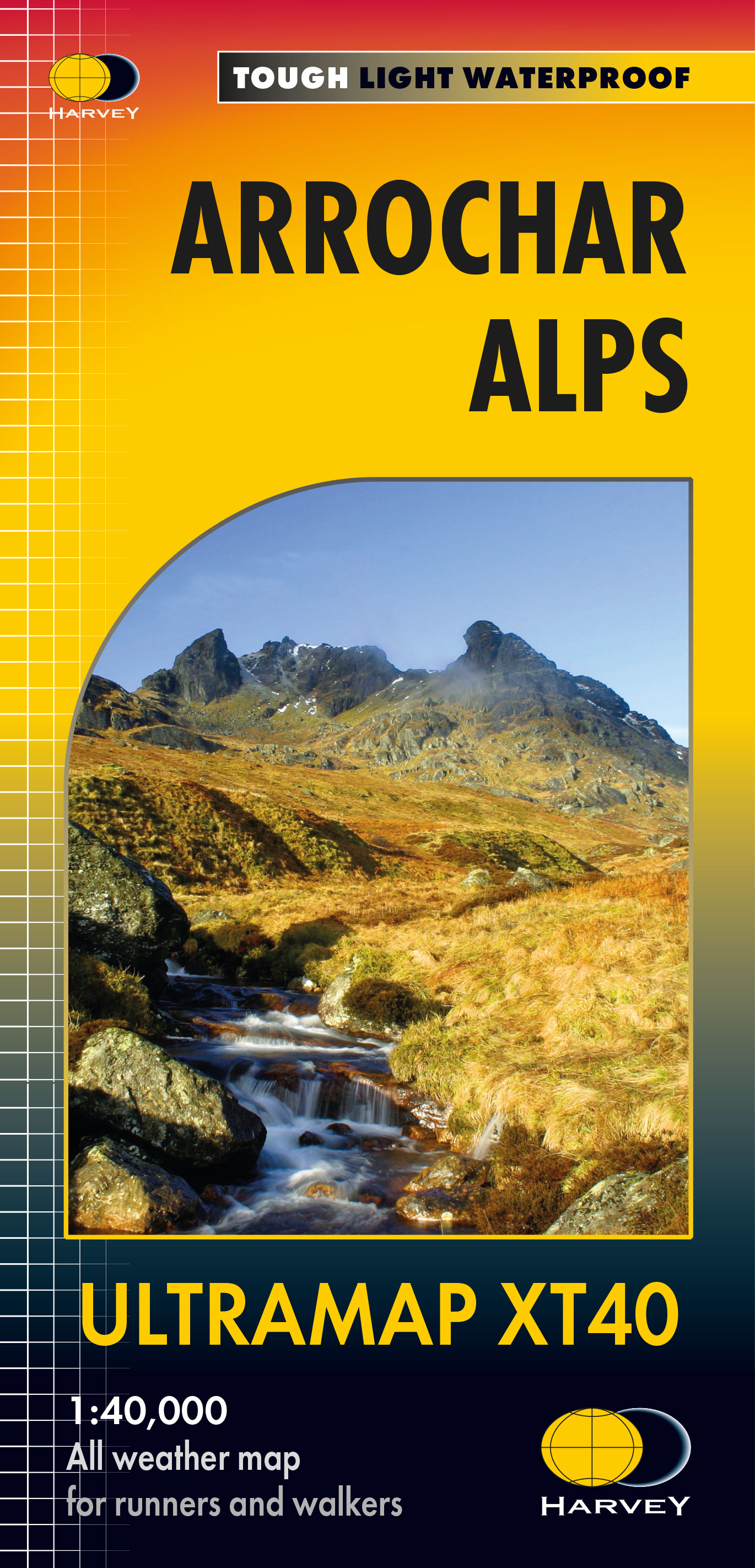
Includes Beinn Ime, Ben Vorlich and the Cobbler (Ben Arthur).
Detailed map for hillwalkers of the western part of the Loch Lomond and Trossachs National Park at the magic scale of 1:40,000.
Includes 5 Munros, 10 Corbetts and 13 Grahams.
The Arrochar Alps are a group of mountains located around the head of Loch Long, Loch Fyne, and Loch Goil, near the villages of Arrochar and Lochgoilhead, on the Cowal Peninsula in Argyll and Bute, Scotland. The mountains are especially popular with hillwalkers, due to their proximity and accessibility from Glasgow.
The Ultramap is fully detailed, genuine, original HARVEY mapping.
To provide the biggest area on the smallest, lightest sheet, the Ultramap is printed
double sided. The ingenious folding pattern allows you to open the Ultramap
directly to any part, and either side, of the sheet.
The two sides are aligned, so when you reach the edge of the Ultramap sheet you
simply flip it over without re-folding. There’s an overlap as well, so you can map read
continuously.
The magic scale of 1:40,000 enables the Ultramap to provide all the detail you would
expect to find on a large scale walking map, including rights of way and boundaries.
Experience the satisfaction of fine navigation with the ULTRAMAP XT40 now printed
on our 100% waterproof and almost indestructible paper, whatever the weather!
€ 19,50
Verzendkosten: Zie website leverancierSpecificaties
Merk:
n.b.
EAN:
Je bestelt bij:
De Zwerver
Categorie:
Subcategorie:
Maat:
n.v.t.
Materiaal:
n.v.t.
Levertijd:
Aantal beschikbaar:
n.b.
Verkoopprijs
€ 19,50
Prijzen vanaf:
n.v.t.
Verzendkosten:
Zie website leverancier
ISBN:
Editie:
Uitgever:
Beschrijft het volgende gebied:
Europa - Schotland -
Taal:
Direct bestellen: