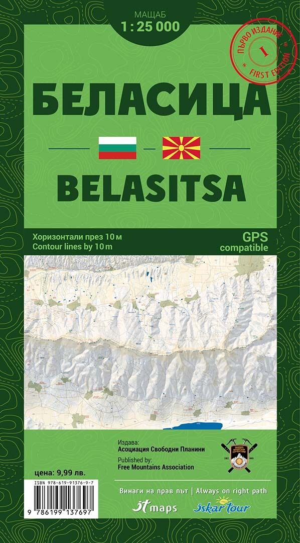
Wandelkaart Belasitsa | IT maps - Iskar
Goede duidelijke wandelkaart met een schaal van 1:25.000 van het grensgebied van Bulgarije - Griekeland - Noord Macedonie De kaart is gebaseerd op topografische kaarten met een opdruk van wandelroutes, hutten en andere handige informatie.
Hoogtelijnen (afstand 10 m), bergen, meren en rivieren staan er goed voor navigatie; de beschrijvingen en plaatsnamen zijn in het Latijn en Cyrillisch.
Met coordinaten-aanduiding, de kaart is hierdoor GPS-compatible. Elke kaart bevat een kaarthoekmeter voor het bepalen van afstanden, de exacte positie en de hellingshoek.
Uitgever: The first, print edition of Belasitsa map is in map scale 1:25000 and contour lines by 10 meters, with many new details on topography, much improved design elements, for convenient and easy to read and all-new, very detailed terrain.
Reflected the boundaries of all protected areas within the area of the map, marked hiking trails, lodges, refuges, information centers, facilities ski areas and all details relevant to the scale.
To the edition, we have implemented a scale line with a graduated scale, for easy measurement of distance, a graduated scale from 1 decimal arc minute, for easy measurement of geographic coordinates and scale with distance between contour lines, for measure the angle of the slope, in degrees and percentage.
The new scaleline is transparent, for your convinience and has one more scale, for precisely measure the slope angle.
€ 14,95
Verzendkosten: € 2,95Nu bestellen bij De Zwerver

