
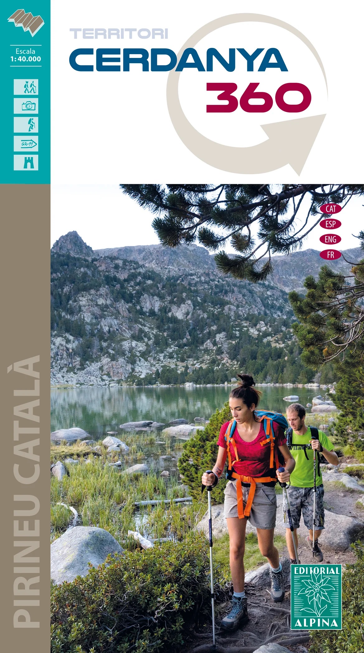
Wandelkaart Cerdanya 360 - territori | Editorial Alpina
Hiking Map and guide of the crossing of the 3 refuges of the Spanish publisher Alpina.
The crossing of the three shelters is a fantastic hike to discover unforgettable sites in the East Pyrenees. It allows to discover abundant wildlife, superb flowers, spectacular gorges, isolated lakes, beautiful forests and lifetime rivers. At the end of each step, you will experience one night's experience in a guarded refuge and resume forces for the next day. The total altitude of the crossing is more than 3,000 meters. For the more sports, the steps can be supplemented by the rise of the summits of the region: the peaks of Balandrau, Bastiments, Gra de Fajol, Gallinas, Torreneules and Puigmal, for a total altitude of more than 6,000 meters.
The regions of the Ripollès and Upper Conflent, east of the Pyrenees chain, offer a wild territory predominated by the high mountain. It is a very well preserved natural space with great biodiversity. It is in these isolated sites that the Ulldeter shelters, the caranca and Vaca coma can be connected by following the three shelters.
€ 16,95
Verzendkosten: € 2,95Specificaties
Merk:
n.b.
EAN:
Je bestelt bij:
De Zwerver
Categorie:
Subcategorie:
Maat:
n.v.t.
Materiaal:
n.v.t.
Levertijd:
Aantal beschikbaar:
n.b.
Verkoopprijs
€ 16,95
Prijzen vanaf:
n.v.t.
Verzendkosten:
€ 2,95
ISBN:
9788480909624
Editie:
27-03-2023
Uitgever:
Editorial Alpina
Beschrijft het volgende gebied:
Europa - Spanje - Spaanse Pyreneeën
Taal:
Direct bestellen: