
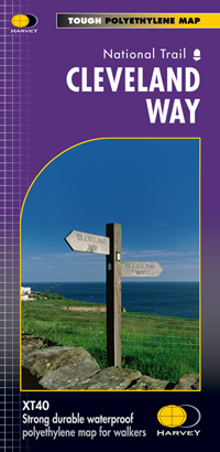
Wandelkaart Cleveland Way | Harvey Maps
Mooie, duidelijke kaart van de Cleveland Way in Noord-Engeland. Geplastificeerd met veel extra informatie en uitsnedes van de route.
Leap forward in technical excellence. Tough, light and 100% waterproof
Compact and light - the map itself weighs just 60gms - a third of the weight of a laminated map, and much less bulky. And you can fold or refold it time and again, or stuff it in your back pocket and it won't fall to pieces. Shows the entire route on one sheet.
174km (109 miles) from Helmsley across the North York Moors National Park to Saltburn and along the coast via Scarborough ending at Filey.
Information on finding accommodation, camping, food. Directions to the start. Also Ranger Service contact numbers and enlargements of towns/villages showing facilities available and tips on weather and clothing.
Detailed mapping, full legend. National Grid - can be used with GPS. 1:40,000 scale. Waterproof. Supplied in clear plastic pocket
€ 25,95
Verzendkosten: € 2,95Specificaties
Merk:
n.b.
EAN:
Je bestelt bij:
De Zwerver
Categorie:
Subcategorie:
Maat:
n.v.t.
Materiaal:
n.v.t.
Levertijd:
Aantal beschikbaar:
n.b.
Verkoopprijs
€ 25,95
Prijzen vanaf:
n.v.t.
Verzendkosten:
€ 2,95
ISBN:
9781851374892
Editie:
None
Uitgever:
Harvey Maps
Beschrijft het volgende gebied:
Europa - Engeland - Yorkshire and the Humber
Taal:
Engels
Direct bestellen: