
Wandelkaart Dark Peak | Harvey Maps
"The 1:40,000 scale used by British Mountain Maps is excellent for hill walking. These maps provide clear, detailed information." Sir Chris Bonington, mountaineer.
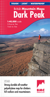
Detailed map of the Dark Peak’s famous Moorland Hills and Edges on a single sheet at 1:40,000 scale.
Detailed enlargement of the Kinder plateau. Map extension to Marsden.
As used by Woodhead Mountain Rescue Team.
Tough, durable & 100% waterproof these virtually indestructible maps cover Dark Peak's moorland fells & edges on a single map. Colour shading for easy identification of hill's and valleys makes this the only map you will need to walk in the Peak District. There is also a detailed enlargement of the Kinder plateau on the reverse of the map as well as a geological map. Useful tips, phone numbers etc are also included.
€ 29,95
Verzendkosten: Zie website leverancierSpecificaties
Merk:
n.b.
EAN:
Je bestelt bij:
De Zwerver
Categorie:
Subcategorie:
Maat:
n.v.t.
Materiaal:
n.v.t.
Levertijd:
Aantal beschikbaar:
n.b.
Verkoopprijs
€ 29,95
Prijzen vanaf:
n.v.t.
Verzendkosten:
Zie website leverancier
ISBN:
Editie:
Uitgever:
Beschrijft het volgende gebied:
Europa - Engeland -
Taal:
Direct bestellen: