
Wandelkaart Fort William | Footprint maps
Gedetailleerde wandelkaart van dit gedeelte van Schotland. Ook zeer geschikt voor de mountainbike. Op de achterzijde detailkaartjes met wandel- en mountainbikeroutes. Inclusief veel praktische informatie.
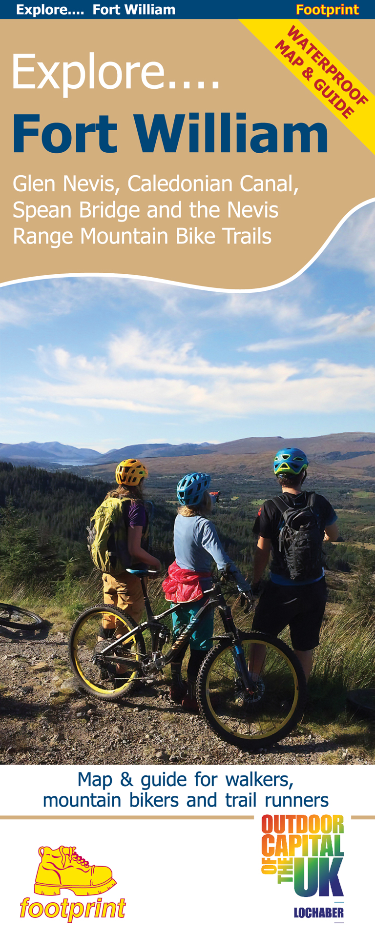
This specially produced map & guide shows all the paths, tracks and trails in this popular part of Western Scotland, rightly called The Outdoor Capital of the UK. The map also includes lots of other useful information for when you're out and about; from where to get a bite to eat to hiring or fixing your bike.
Use the main map to plan your own route or use the individual maps overleaf to follow one of the suggested routes which have been carefully selected to take in some the best trails and views in the area.
Side 1: an overview map of Glen Nevis, Caledonian Canal, Spean Bridge & Nevis range
Side 2: nine specially surveyed routes for walkers, mountain bikers and trail runners. Each route is shown on its own map and is accompanied by detailed navigation notes.
€ 14,95
Verzendkosten: Zie website leverancierSpecificaties
Merk:
n.b.
EAN:
Je bestelt bij:
De Zwerver
Categorie:
Subcategorie:
Maat:
n.v.t.
Materiaal:
n.v.t.
Levertijd:
Aantal beschikbaar:
n.b.
Verkoopprijs
€ 14,95
Prijzen vanaf:
n.v.t.
Verzendkosten:
Zie website leverancier
ISBN:
Editie:
Uitgever:
Beschrijft het volgende gebied:
Europa - Schotland -
Taal:
Direct bestellen: